Trinity Center, California
Looking for the best photography in Trinity Center? We've got you covered with the top trails, trips, hiking, backpacking, camping and more around Trinity Center. The detailed guides, photos, and reviews are all submitted by the Outbound community.
Top Photography Spots in and near Trinity Center
-
Trinity Center, California
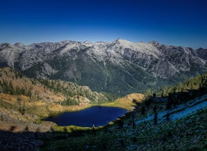
Backpack to Bear Basin and The Four Lakes Loop
30.1 miDay 1 Swift Creek Trail Head to Bear BasinThe trip begins at the Swift Creek trailhead in the Trinity Alps Wilderness. Permits are very easy to get, just stop by the Ranger station in Weaverville, CA. They are free and can be self-issued in front of the ranger station, or you can go in if you wou...Read more -
Trinity Center, California
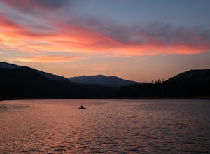
Camp at Hayward Flat on Trinity Lake
We drove all around Trinity Lake and this was the best campground we found! Located right on Trinity Lake you will find Hayward Flat Campground. From Weaverville California you will follow highway 3 north about 20 miles. Then take a right on Hayward Flat road two miles. Boom, you are there. The...Read more -
Trinity Center, California
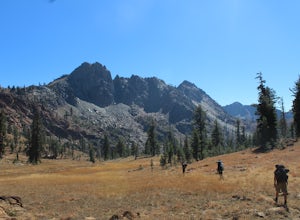
Backpack Stony Ridge in the Trinity Alps
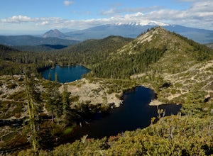
16.5 mi / 4500 ft gainThe Trinity Alps has miles and miles of beautiful trails, but one of the more stunning sections is the Four Lakes Loop. There are two main trail heads that access the trail. Long Canyon Trail and Stony Ridge Trail both are both beautiful but Stony Ridge is the more popular route yet strenuous. To...Read more -
Trinity Center, California
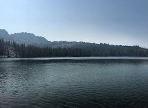
Stoddard Lake
5.07.01 mi / 1325 ft gainThe trail is a bit rocky, so wear sturdy hiking boots or trail runners. While your elevation gain is only 800 total, you will travel upwards of 1,982ft in elevation given the ups and downs of the trail. At mile 1.75, there is a spring that feeds into a large meadow. At mile 3, there is another sp...Read more -
Trinity Center, California
Backpack Stuart Fork to Emerald and Sapphire Lake
25 mi / 4448 ft gainThe Stuart Fork to Emerald and Sapphire Lakes trail features many beautiful lakes, meadows, and an area that resembles a jungle. Dogs are able to use this trail. This trail can be done as a day hike, an overnight, or a three-day backpacking trip. If you choose to make it a three day, the meadows ...Read more -
Trinity Center, California
Stuart Fork Trail to Emerald and Sapphire Lakes
5.027.06 mi / 4213 ft gainThe trail begins just past the Trinity Alps Resort, a private collection of cabins near Weaverville, CA. Hikers wanting an early start can spend the night at the Bridge Camp Campground, located next to the trailhead. The path starts out wide and level, following an old road to the wilderness bou...Read more -
Trinity Center, California
Stuart Fork to Alpine Lake
16 mi / 4265 ft gainNestled in the heights of the Trinity Alps, this hike to Alpine Lake is not for the faint of heart. Before embarking on this adventure call the Weaverville Ranger station to check snow levels as well as the flow of the Stuart Fork River. If you are too early in the summer season the snowpack wi...Read more -
Junction City, California
Canyon Creek Lakes
4.314.35 mi / 2605 ft gainNumerous starting points with over 550 miles of trail and easily 50+ different featured trails depending on length and what type of activity you are are looking for. One of the more popular trails, and rightfully so, is Canyon Creek Lakes Trail. This 16 mile roundtrip hike has an overall elevatio...Read more -
Forks of Salmon, California
Grizzly Lake via China Gulch Trailhead
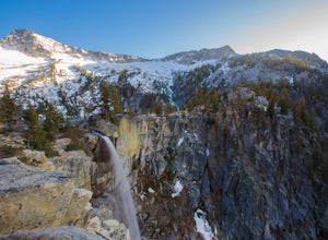
4.414.6 mi / 5112 ft gainGrizzly Lake is in the Trinity Alps Wilderness. The lake is know for its brilliant waterfall flowing from the lake's surface straight off the side of a cliff and roughly 600 feet down to the meadow below. Grizzly lake is located in some of America's most amazing and remote alpine wilderness, incl...Read more -
Castella, California
Hike Crags Trail to Castle Dome
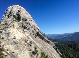
4.45.1 mi / 2135 ft gainOne of the gems in the Shasta area, Castle Crags. You can spot these dramatic granite towers from a distance and their jagged formations beckon climbers and hikers alike. Imagine a slice of the Dolomites plucked out of Italy and placed in Northern California. Crags Trail to Castle Dome winds up t...Read more -
Dunsmuir, California
Hike to Heart Lake in the Klamath Mountains
4.52.2 mi / 600 ft gainScenes like this are rarely so accessible. Heart Lake is nestled in a bowl below Castle Peak, on the edge of the Castle Crags Wilderness just west of I-5 and the city of Mt. Shasta. The parking lot and trailhead are both located on the shore of Castle Lake, a much larger lake that is stunning in ...Read more -
French Gulch, California
Hike to Whiskeytown Falls in Whiskeytown National Recreation Area
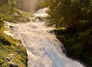
2.8 mi / 787 ft gainComing from Redding pass the visitor center and heading down highway 299. Make a left turn on Crystal Creek Road. Drive about 3.75 miles and on your left will be the Mills Creek Trailhead. Start hiking. You will start headed downhill towards the creek. You will cross Crystal Creek on a footbridge...Read more -
Gazelle, California
Hike the Fen Trail at Kangaroo Lake
The Fen Trail around Kangaroo Lake is a beautiful secluded camping and hiking area in the Klamath Forest of Northern California. It connects to the Pacific Crest Trail (PCT), where you can hike up through Oregon and Washington to Canada, or south through to Yosemite.The trailhead starts at the Ka...Read more -
Junction City, California
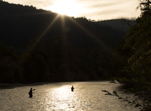
Fly Fish the Trinity River
The Trinity River is one that is rarely visited by your typical Bay Area resident. In fact, much of true Northern California is "untouched" in the eyes of those who live in The City, which is what drew me to this place to begin with. After a five hour journey from San Francisco, we made it to our...Read more -
Redding, California
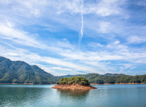
Houseboat Lake Shasta
1 mi / 1 ft gainLake Shasta sits at the foot of infamous Mt Shasta, past the major Northern California city of Redding. From the Bay Area you can count on at least a 3.5 hour drive to get to waters edge, but the drive goes by quickly just cruising on HWY 5. There are multiple Marinas on Shasta but the largest is...Read more -
Pacific Crest Trail, California
Hike or Backpack the Dead Falls Lake Trail
5.08.1 mi / 1358 ft gainThe Dead Falls Lake Trail is perfect for families, dog, and all adventurers. In the spring and summer, there are gorgeous and abundant wildflowers. There is a perfect lunch spot at Deadfall Lake. Close to the gargantuan Shasta, Mount Eddy is the highest peak in the Klamath Mountain. Mount Eddy o...Read more

