Verdi, California
Top Spots in and near Verdi
-
Verdi, Nevada
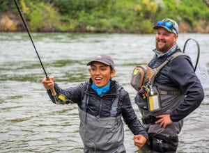
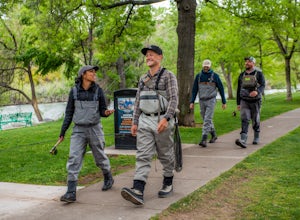
Fly Fish the Truckee River
At just 121 miles long from Lake Tahoe to Pyramid Lake, the Truckee River continues to produce the largest trout in the Lower 48. Fly fisherman commonly divide the river into two reaches – East & West. And just outside of Reno in the small town of Verdi, the Bridge Street bridge is an excelle...Read more -
Reno, Nevada
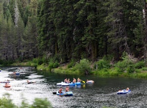
A Lazy (Fun) Float Down the River
4.5Start your day by heading to Tahoe City where the East and North Shores of Lake Tahoe meet. Be sure to grab supplies along the way including drinks, picnic lunch, sunscreen, coolers, floating devices (if you aren’t interested in renting) and maybe even some super soakers if you are planning to ...Read more -
Reno, Nevada
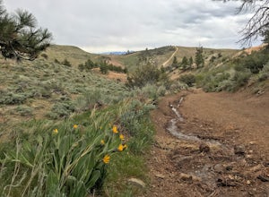
West Plateau Loop
3.03.15 mi / 312 ft gainWest Plateau Loop is a loop trail that takes you by a river located near Reno, Nevada.Read more -
Reno, Nevada
Upper Chalk Creek Trail
4.01.44 mi / 121 ft gainUpper Chalk Creek Trail is an out-and-back trail located near Reno, Nevada.Read more -
Reno, Nevada
Peavine Peak Trail
3.08.89 mi / 2913 ft gainPeavine Peak Trail is a loop trail where you may see beautiful wildflowers located near Reno, Nevada.Read more -
Reno, Nevada
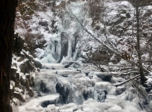
Hunter Creek Trail
3.06.43 mi / 1362 ft gainJust outside of Reno find a fun little hike through the hills along a creek, ending at a beautiful waterfall. The trail is heavily trafficked and easy to follow with two creek crossings. It is mostly a moderate but steady climb on the way out, with just a few steep spots. The parking lot has ...Read more -
Reno, Nevada
Dorostkar Park Nature Trail
3.01.48 mi / 39 ft gainDorostkar Park Nature Trail is a loop trail that takes you by a river located near Reno, Nevada.Read more -
Reno, Nevada
Oxbow Nature Study Area Nature Trail
4.00.77 mi / 23 ft gainOxbow Nature Study Area Nature Trail is a loop trail that takes you by a river located near Reno, Nevada.Read more -
Reno, Nevada
Miners Trail to The "N"
3.51.89 mi / 371 ft gainMiners Trail to The "N" is an out-and-back trail that provides a good opportunity to view wildlife located near Reno, Nevada.Read more -
Reno, Nevada
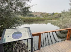
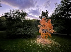
May Arboretum and Herman Pond Trail
5.01.07 mi / 89 ft gainMay Arboretum and Herman Pond Trail is a loop trail where you may see beautiful wildflowers located near Reno, Nevada.Read more -
Reno, Nevada
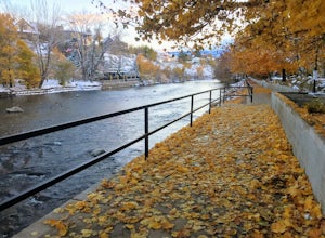
Truckee River Pathway: Downtown to Dorostkar Park
4.04.42 mi / 220 ft gainTruckee River Pathway: Downtown to Dorostkar Park is a point-to-point trail that takes you by a river located near Reno, Nevada.Read more -
Reno, Nevada
Fly Fish the Truckee River from Wingfield Park
At just 121 miles long from Lake Tahoe to Pyramid Lake, the Truckee River continues to produce the largest trout in the Lower 48. Fly fisherman commonly divide the river into two reaches – East & West, and there is excellent fishing to be found right in downtown Reno all along the Truckee and...Read more -
Reno, Nevada
Quail Run and Flume Trail Loop
4.01.45 mi / 128 ft gainQuail Run and Flume Trail Loop is a loop trail that takes you past scenic surroundings located near Reno, Nevada.Read more -
Reno, Nevada
Anderson Park Loop
4.01.64 mi / 92 ft gainAnderson Park Loop is a popular trail for walking or running tucked away in a quiet neighborhood near Reno, Nevada. The trail loops around a pasture and connects up to Bartley Ranch for a longer or more scenic route. Take in scenic views of the surrounding mountains, but there may be some traf...Read more -
Reno, Nevada
Church's Pond via the Jones-Whites Creek Trail
4.06.49 mi / 2185 ft gainFor the first 0.6 miles the trail follows a peaceful creek, before upping the steepness as it ascends the mountain sides via multiple switchbacks. At 2.5 miles in, you reach a peak that allows you to see from Reno to Washoe City; a perfectly good place for sane people to enjoy and turn back. Howe...Read more -
Reno, Nevada
Jones Creek Loop
1.5 mi / 335 ft gainNestled in a forested area on the eastern slope of the Sierra Nevada, Galena Creek Regional Park is seven miles up the Mt. Rose Highway from the intersection with I-580. Galena Creek flows through the park creating separate north and south portions of the park, and the Jones Creek Loop is a great...Read more
Camping and Lodging in Verdi
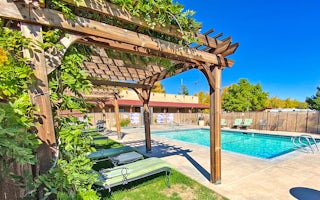
Reno, Nevada
Reno KOA Journey at Boomtown
Picture a peaceful campground and dazzling resort casino all in one - then come camp here! KOA and the adjacent Boomtown Casino & Hot...
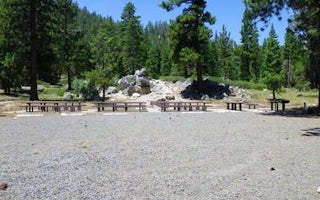
Unnamed Road
Lookout Campground
Overview
Lookout Campground is located on the California/Nevada border just west of Reno, Nevada. It sits at an elevation of 6,770 feet i...
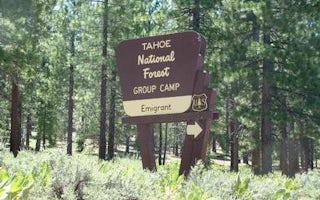
Dog Valley Road
Emigrant Group
Overview
Emigrant Group Campground is located alongside the beautiful Stampede Reservoir. The campground is located approximately 30 min...
Truckee, California
Boca Spring
Overview
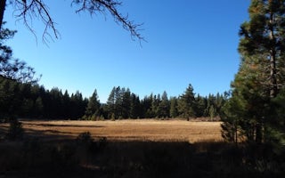
Boca Spring Campground is located approximately one-mile east of Boca Reservoir, 20 minutes from Truckee, California. Visitors e...
Truckee, California
Boca Rest Campground
Overview
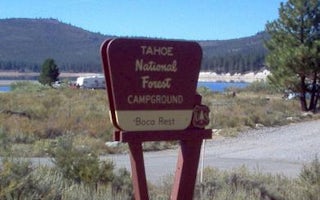
Boca Rest Campground is located along the shores of Boca Reservoir, 20 minutes from Truckee, California. Visitors enjoy the area...
Prosser Dam Road
Prosser Ranch Group
Overview
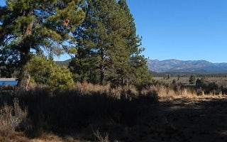
Prosser Ranch Group Campground is located on the picturesque Prosser Reservoir, within the Tahoe National Forest, about 10 minut...

