Yorba Linda, California
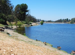
Yorba Linda, California, is home to some of the best trails and outdoor activities. The top pick is the Chino Hills State Park, a must-visit for outdoor adventures. It features a scenic 14-mile hiking trail, perfect for all skill levels. The trail is known for its beautiful wildflowers and bird watching opportunities. You can also spot the occasional deer. Another popular spot is the Santa Ana River Trail, a 50-mile long trail that offers stunning views of the river. Yorba Regional Park is also a great spot for fishing and picnicking with four lakes and over 400 picnic tables. For those who prefer horseback riding, there's the Anaheim Equestrian Center. Remember to bring your camera to capture the beautiful landscapes.
Top Spots in and near Yorba Linda
-
Laguna Beach, California
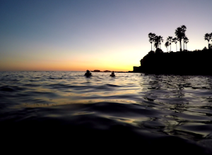
Scuba Dive Shaw’s Cove, Laguna Beach
Shaw’s Cove is located just 3 minutes North of Laguna Beach’s Main Beach Park and one beach south of Crescent Bay. There’s a dive shop placed conveniently above the cove so if you need to rent equipment, it’s right there. The shop is close enough to walk to the cove, but with 60 pounds of gear, t...Read more -
Laguna Beach, California
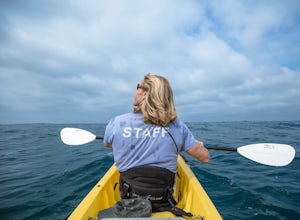
Kayak the Laguna Beach State Marine Preserve
5.0Whether you're a beginning, intermediate, or advanced paddler, there are numerous ways to explore via sea kayak the protected waters off the coast of Laguna Beach. You can bring your own or rent and book a tour from several shops in town. An excellent starting point is at Fisherman's Cove just of...Read more -
Laguna Beach, California
Stand Up Paddleboard Fisherman's Cove
Fisherman's Cove is a protected beach and cove in Laguna Beach at the bottom of Boat Canyon that is tucked away from the hustle, bustle, and crowds that are often found at other nearby beaches. Further, parking is easily (relatively speaking) found along Cliff Drive. The beach itself, especially ...Read more -
Heisler Park, California
Relax at Heisler Park
5.0Located in Laguna Beach, California, Heisler Park is just past Main Beach, so it's the perfect place to avoid the typical tourist crowds. There's plenty of parking at Heisler Park, however you will have to pay, so come with a friend to split the cost! Luckily, if you plan on going to catch the su...Read more -
Laguna Niguel, California
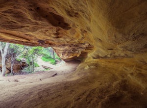
Dripping Cave in the Aliso & Wood Canyons Wilderness
4.47.68 mi / 889 ft gainDripping Cave sits tucked away in a corner of Wood Canyon, part of the Aliso and Wood Canyons Wilderness Park, and the trail to the cave, while short, requires *at least* a 2.25 mile hike in from the nearest trailhead (West Ridge Trail to Mathis Canyon), though this is less than ideal as that rou...Read more -
Laguna Niguel, California
Kick Back at Laguna Niguel Regional Park
This is an awesome tucked away little adventure that will have you occupied all day! With plenty of picnic tables you can be sure to have your own privacy tucked into a corner free from other people. Grab a lake side picnic table or even the numerous ones around the grass fields, they are all won...Read more -
La Verne, California
Bridge to Nowhere via East Fork Trail
4.49.65 mi / 1798 ft gainThe trail on this 10-mile hike is predominately slow and steady, but can be a little rocky, so be prepared to scramble. When you’re fording the river, the water level can range from knee to chest high, especially in the wet months. A good pair of waterproof hiking boots is helpful, but water shoe...Read more -
Arcadia, California
Hermit Falls Trail
4.82.49 mi / 1014 ft gainNote: Hermit Falls is Temporarily Closed From Roberts Camp, many hikers will head to Sturtevant Falls, which is an amazing 60-foot waterfall. But, if you choose to head in the opposite direction on First Water Trail, you’ll be rewarded with a fresh water swimming hole at this 35-foot tumbling wa...Read more -
Arcadia, California
Sturtevant Falls
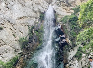
4.61.61 mi / 423 ft gainThis trail is currently closed. Visit the Forest Service website for updates. As you head down to Roberts Camp, a historic set of historic cabins, you’ll head out on a steep, paved road for approximately 0.6 miles. Once you reach the camp, head over the bridge and keep an eye out for the sign f...Read more -
Arcadia, California
Mt. Wilson Loop from Chantry Flat
5.012.74 mi / 4852 ft gainMt. Wilson is one of the more difficult mountains in the San Gabriel to hike, making this adventure Intermediate. While 5,700 feet doesn't seem that tall, the mountain has a prominence of almost 5,300 feet, meaning that hike is steeper and longer than some of the other popular mountains that star...Read more -
Claremont, California
Stoddard Peak Trail
4.05.93 mi / 1129 ft gainOn the way to Mount Baldy and within the trail system of the San Gabriel mountain range is the Stoddard Peak Trail. The Stoddard Peak Trail, which is basically the old Barrett-Stoddard fire road, goes through the Stoddard Canyon into Stoddard Flat, and then eventually leads to Stoddard Peak. The ...Read more -
Claremont, California
Stoddard Canyon Falls (Baldy Slide Waterfall)
0.74 mi / 174 ft gainLocated near the Angeles National Forest, it's a short hike, approx. 0.75 miles roundtrip and just about anybody can go. To get there, input the intersection of Mt. Baldy Rd. and Barrett Stoddard Truck Trail into your GPS. This will bring you to a small dirt parking lot. The trailhead starts a...Read more -
Laguna Beach, California
Surf Brooks Street Beach
5.0Brooks Street Beach is just a couple of blocks off the Pacific Coast Highway in Laguna Beach. Parking can be tricky, so be forewarned that you may need to walked a few blocks. Winter can be good, but during the summer and big south swells are when you want to go surfing, so be sure to check out ...Read more -
Mount Baldy, California
Sunset Peak via South Trailhead
4.07.16 mi / 1493 ft gainIn order to get to the Sunset Peak Trailhead, utilize Google Maps to take you to the location provided. There is very little parking (only a small pull off along Glendora Ridge Road), but this trail is rarely traveled, so there should be enough space regardless of the time you decide to hike! Jus...Read more -
Los Angeles, California
Watts Towers
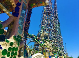
3.0Watts Towers are a quick 15-20 minute ride from Downtown Los Angeles on the Metro. Since I love weird, interesting things, plus the towers are in my backyard, I had to take a trip to check them out! When getting off the train, I half expected to see the towers spiraling off in the distance. After...Read more -
Los Angeles, California
Sunset Hike in Ascot Hills
3.5Ascot Hills Park is a great hidden gem located a few miles east of Los Angeles. There is a parking lot with plenty of parking but the gates close at sunset, which is a great time to go, so if you plan on staying later, park outside the gates where there is ample street parking. Depending on the s...Read more

