California
California offers a diverse range of outdoor activities. The state boasts pristine coastlines, granite mountains, and expansive redwood forests. Travelers can explore the Alamere Falls, which empties directly into the Pacific Ocean, or visit McWay Falls in Big Sur, a prominent waterfall visible from Highway 1. For those interested in hiking, the Sunrise Lakes to Clouds Rest trail is a notable choice, while the Lands End Trail in San Francisco provides a scenic coastal walk. Whether you're looking to hike, camp, or simply enjoy the outdoors, California has something for everyone.
Top Spots in and near California
-
Carmel, California
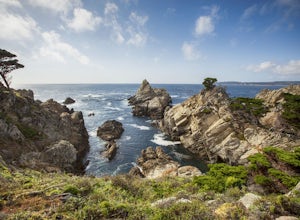
Point Lobos Natural Preserve Loop
4.77.14 mi / 640 ft gainPoint Lobos contains headlands, coves and rolling meadows, and its offshore area forms one of the richest underwater habitats in the world, popular with divers. Wildlife includes seals, sea lions, sea otters, migrating gray whales (from December to May), and thousands of seabirds, who also make t...Read more -
Aptos, California
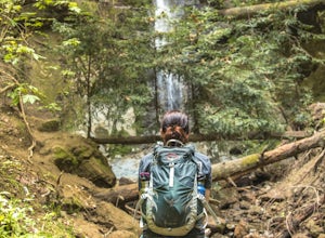
Hike to Nisene Marks' Maple Falls
4.68.5 mi / 900 ft gainAs you enter the park, you'll need to pay $8 for parking via a self-pay envelope, so it's recommended that you bring exact change. At the park booth, be sure to grab a map. The hike can be a little tricky with no cell service and limited trail signage. Once you've grabbed your map, keep driving p...Read more -
Pasadena, California
Eaton Canyon Falls via Eaton Canyon Trailhead
4.23.54 mi / 528 ft gainThe hidden forty-foot-tall Eaton Canyon Falls fills an amphitheater at the top of Eaton Canyon Trail, tumbling into a wide pool that you can rest alongside or wade in. Normally the water is waist deep, but during this recent trip, we found the water only to stop at our ankles as it tends to fluct...Read more -
San Francisco, California
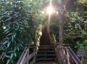
Run the Coit Tower Stairs
3.8There are 2 sets of stairs for Coit Tower on Sansome St. The first set is at Greenwich and the second is at Filbert. The Filbert steps are a little deeper per step and are mostly wood and concrete. The Greenwich steps are a little tougher because of the shallower, brick stairs as you get toward t...Read more -
Los Angeles, California
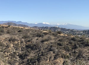
Runyon Canyon Loop
3.22.67 mi / 728 ft gainLocated in the Hollywood Hills, Runyon is an iconic workout run/ hike that can give you great views all the way to the ocean. There are a few different loop trails/ hikes you can take ranging from ~1.5mi to 3.25mi all with a decent amount of elevation gain. Also, remember this is Hollywood, so yo...Read more -
Clayton, California
Hike Mt. Diablo
4.413 mi / 3323 ft gainMt. Diablo has some of the most expansive views in California, despite it's relatively low peak elevation. It played a large role in the surveying the Bay Area during its early discovery. Getting There: To get to the staging area, take Interstate 80 to I-680 to Highway 4. Exit at Railroad Bouleva...Read more -
Oroville, California
Hike to Phantom Falls
4.64.2 mi / 850 ft gainDropping off a 135 ft cliff is a very well hidden waterfall with no trails leading to it. But if you do find it, it is an epic natural wonder.It is best to come here in the winter months, after a lot of rain. But it is also well worth coming in the spring when the wildflowers on Table Mountain ar...Read more -
Ramona, California
Cedar Creek Falls
4.85.52 mi / 1024 ft gainThe trail to Cedar Falls starts out at a hill in a residential area and ends in an unexpected spot where there is a beautiful waterfall complete with a swimming hole. Surrounded by 75-foot-high cliffs, a magnificent waterfall splashes into a pool known as the Devil’s Punch Bowl. Hikers have been ...Read more -
Mariposa County, California
Glacier Point via Four Mile Trail
5.09.59 mi / 3200 ft gainGlacier Point is one of the highlights of Yosemite. The point is located at the end of Glacier Point Road. This viewpoint allows you to survey the entire Yosemite Valley and gives the viewer a captivating sight of Half Dome. It's a little bit of a tourist trap (especially during the summer season...Read more -
San Francisco, California
Mount Davidson
4.51.03 mi / 299 ft gainMount Davidson Park is located in the southwestern part of the city nestled between Diamond Heights and Portola Dr. The climb isn't too difficult, but to reach the top of the 928ft summit, you should wear close-toed shoes and be ready for some loose gravel or mud if it's been raining. The hike is...Read more -
Bishop, California
Big Pine Lakes via North Fork Trail
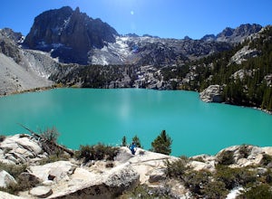
5.012.69 mi / 3196 ft gainThe North Fork Big Pine Creek Trail offers some of the best high alpine scenery in the Sierras. As the peaks of the Palisades pierce the sky with its craggy span of summits you will find it is as picturesque and dramatic as any in California. Nestled beneath these giant peaks are the glacier scou...Read more -
Altadena, California
Echo Mountain and Inspiration Point Loop
4.110.16 mi / 3369 ft gainThe trail switchbacks up the mountain before reaching the first historic marker, in 3 miles. These are the remains of the Mount Lowe Railroad, which brought customers to Echo Mountain Resort, also in ruins, nearby. Explore the historic sites, then head up Castle Canyon Trail. A steep climb will ...Read more -
San Francisco, California
Mile Rock Beach
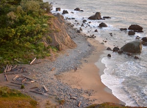
4.71.64 miThis rocky, secluded beach is tucked in along the Land’s End Coastal Trail in the Golden Gate National Recreation Area. Located 100 or so steps down from the main trail, you’ll find this mysterious little beach that will make you feel like you’re in an old pirate movie. There are a lot of logs an...Read more -
Bolinas, California
Point Reyes' Wildcat Camp via Coast Trail
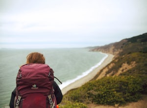
5.011.19 mi / 1926 ft gainIn order to make this trip possible, go to recreation.gov and make a reservation for Wildcat Camp (available year-round). On your way to the trailhead, make sure to stop by the Bear Valley Visitor Center to grab your camping permit. For more information, visit: http://www.nps.gov/pore/planyourvis...Read more -
Big Sur, California
Explore The Hidden Rock Caves At Partington Cove
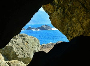
5.0Partington Cove which is located in Julia Pfeiffer Burns State Park, is one of Big Sur's hidden gems. It's a very short hike with enough views to show why Big Sur earned the nickname " Little Yosemite." The whole hike can easily be completed in less than an hour, although there are definitely eno...Read more -
Los Angeles, California
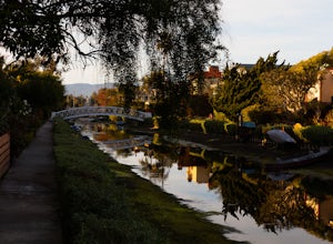
Venice Canals
4.32.77 mi / 30 ft gainThe canals are a fun and quiet place to relax away from the hectic Venice boardwalk. Take a stroll through the canals or even get in a run! The reflections in the water are the main attraction and are great for photography. Spring, after some rain, is the best time to go as the water levels are g...Read more

