Bailey, Colorado
Top Spots in and near Bailey
-
Breckenridge, Colorado
Hike the East Ridge of Pacific Peak
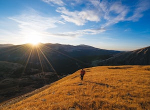
5.08 mi / 3500 ft gainStart from the McCullough gulch trailhead. If possible it would be worth having 2 cars and leaving one at the main McCullough trailhead so you don't have to walk the road on your way down. Bushwack through trees and willows up the ridge directly to the north of the trailhead. You might be lucky a...Read more -
Breckenridge, Colorado
Hike McCullough Gulch to Upper Blue Reservoir
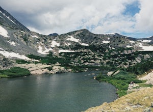
5.02.8 mi / 910 ft gainThe trail first takes you to Upper Blue Reservoir, about 1.4 miles in. Past this point, it can be somewhat tricky to find the trail, but for experienced hikers, the upper valley holds a number of lakes, a waterfall, and open tundra for exploring. Mountain goat sightings are also common in this ar...Read more -
Castle Rock, Colorado
Run the Challenge Hill
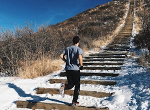
5.00.6 mi / 200 ft gainThe Basics: The Challenge Hill, or as I like to call it, the Mini-Incline, is a shrunken version of its big brother to the south in Manitou. However, don't let its relatively small 200 stair count fool you - this hill is a serious workout! Located in Philip S. Miller Park, just one minute off I-2...Read more -
Parshall, Colorado
Ski or Snowshoe Jones Pass
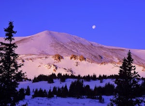
4.06 mi / 1600 ft gainIts sister trail, Butler Gulch, is an all-time favorite hike (both summer and winter), and since they share a trailhead, I knew Jones Pass would be special as well.Jones Pass is not the type of trail I normally take, since it is actually a 4x4 road that is used for Jeeping in the summer and snowm...Read more -
Parshall, Colorado
Butler Gulch
4.55.26 mi / 2008 ft gainButler Gulch is a pristinely beautiful day hike in the heart of the Arapaho National Forest near Idaho Springs, Colorado. Easily accessible from Denver, Butler Gulch is full of jaw-dropping views in all seasons, and anyone in good health can enjoy this gem. The hike is five miles long and rated ...Read more -
Parshall, Colorado
Snowshoe Butler Gulch
5 mi / 1500 ft gainIn fall, winter and spring, the trail is covered in snow, which makes it ideal for backcountry skiing and snowshoeing. The trail becomes indistinguishable after the first mile or two, but usually you can follow previous skiers' tracks up the mountainside.What you miss in wildflowers or mine sight...Read more -
Lake George, Colorado
Camp and Fish at Eleven Mile Canyon
4.4Located below the dam of the Eleven Mile Reservoir, Eleven Mile Canyon is a scenic spot for camping, fishing, hiking and climbing. There are four different campgrounds to choose from (Cove, Riverside, Spillway and Springer), though only one campground remains open during the off season. Getting t...Read more -
Swan Mountain Road, Colorado
Sapphire Point Overlook
3.30.62 mi / 49 ft gainThis short, 0.6 mile loop hike gives a beautiful view of Lake Dillon and is an easy, family-friendly hike. Dogs are allowed but must be kept on leash. The trail is clear cut and descends a few feet while looping around the side of the mountain to the overlook point. It is definitely a worthwhil...Read more -
Lone Tree, Colorado
Hike Bluffs Regional Park Trail
2.7 mi / 200 ft gainThis loop trail is 2.7 miles long but has several options for overlooks that add 0.8 miles to the trip. This is an easy hike with minimal elevation gain and is a great option for the whole family. Every time I've done this hike I've seen numerous deer which only adds to the hike!Read more -
Winter Park, Colorado
Snowshoe to Broome Hut
1.5 mi / 729 ft gainTake I-70 from Denver and then US 40, go all the way to Mile marker 240 of US 40 and park in the area at the side of the road. The Second Creek trail head is just behind the parking area and is easy to find.The trail climbs from a start at 10,600ft and finishes up at 11,325ft at the hut, but you ...Read more -
Winter Park, Colorado
Twin Cones via Second Creek Trailhead
5.04.85 mi / 1614 ft gainThis hike begins at Second Creek Trailhead off of US Highway 40. It's pretty steep right off the bar gaining about 800ft of elevation in the first mile. This first mile takes you to Broome Hut, which has a bathroom and is a great place to stop and take a break. Keep in mind that there are no dogs...Read more -
Breckenridge, Colorado
Discover Ancient Trees on Windy Ridge
The Windy Ridge Bristlecone Pine Scenic Area is a remote stand of trees off a 4WD road near Alma, Colorado. This grove of bristlecone pines was given protected status in 1964 due to its uniquely shaped trees influenced by the winds blasting off nearby 14er, Mount Bross. The area sits at 11,700 ...Read more -
Parshall, Colorado
Camp at Jones Pass
4.5To locate these campsites all you have to do is type in Jones Pass Road into google maps or your iPhone and it will take you straight there. There are road signs once you get off I-70 that will help you the rest of the way that say Jones Pass. Once you hit the dirt road and pass the Jones Pass Tr...Read more -
Woodland Park, Colorado
Red Rocks at Woodland Park
4.31 mi / 100 ft gainIn Woodland Park driving on HWY 24 towards Divide, you will see signs for HWY 67 which is where you'll need to get to. The Road will fork towards the end of town (left being 24 towards Divide, Right being 67). Stay right at the fork onto 67. You will then drive about 2 miles until you see a sign ...Read more -
Denver, Colorado
Washington Park Loop
2.34 mi / 72 ft gainWashington Park in located near Denver South High School is the perfect spot for a run, walk, or an afternoon picnic! This paved loop is just over 2 miles and offers up scenic views of both Grasmere Lake and Smith Lake. This is also a family-friendly destination with a playground for the kids and...Read more -
Summit County, Colorado
Hike to Crystal Peak
5.08.6 mi / 2482 ft gainOnce you turn off of Colorado hwy 9 onto dirt, your GPS will lead you to a gravel lot. At the end of that lot there's a pretty steep gravel road that heads NNW (GPS coords: 39°25'43.01"N 106° 4'11.30"W | Map Link if you want to plug that into your GPS for parking). From this lot you'll walk up t...Read more

