Boulder, Colorado
Looking for the best hiking in Boulder? We've got you covered with the top trails, trips, hiking, backpacking, camping and more around Boulder. The detailed guides, photos, and reviews are all submitted by the Outbound community.
Top Hiking Spots in and near Boulder
-
Littleton, Colorado
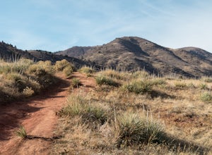
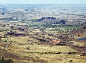
Hike the Meadowlark Plymouth Trail
4.06 mi / 1197 ft gainFrom the parking lot, you can take the Meadowlark trail to the west or the Plymouth Creek Trail to the southeast. It does not matter which trail you take because it ends up becoming loop. For a more gradual slope up the hill, take the Meadowlark trail. After a little more than a mile, it intersec...Read more -
Dillon, Colorado
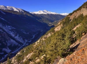
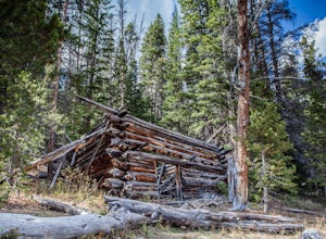
Hike the 7:30 Mine Road in Silver Plume
4.05 mi / 1200 ft gainWith a name like 7:30 Mine Road, this is one hike I had to investigate to see if it lives up to its name. Even though this is an easier hike than I normally choose, what it lacks in challenging terrain, it makes up for in historic interest. The view isn’t too bad, either.7:30 Mine Road is about t...Read more -
Estes Park, Colorado
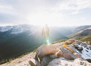
Watch the Sunset at Forest Canyon Overlook
5.00.2 mi / 32 ft gainTrail Ridge Road is an incredible highway that crosses the mountains between Grand Lake and Estes Park, one of the most famous parts of Rocky Mountain National Park. It features incredible views of the Rockies and the Front Range, as well as the unforgettable experience of being immersed in the t...Read more -
Silver Plume, Colorado
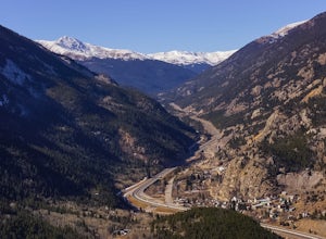
Argentine Railroad Grade
5.05.35 mi / 863 ft gainThe Argentine Central Railroad Grade trail is just what it says: it follows the old rail bed of the Argentine Central line. All railway remnants have long since been removed, and in its place is a wide, well-defined trail with an easy grade. With just a 900-foot incline over the course of about t...Read more -
Estes Park, Colorado
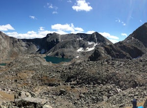
Backpack the Gorge Lakes
11.5 mi / 3200 ft gainStart at the Rock Cut Parking Area. Head east on Trail Ridge Road 0.25 miles to a more gradual and bald western slope leading down into Forest Canyon. This bald is located between two creeks which merge before joining the Big Thompson River (a small creek in mid September). Use the creeks to navi...Read more -
Fort Collins, Colorado
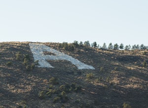
"The A" via the Foothills Trail
5.04.14 mi / 531 ft gainWhy is there an A on the side of the mountain? The "A" stands for Aggies. When Colorado State University was first founded in 1870, it was originally called Colorado Agricultural College. The mascot at the time was The Aggies. Though the college has now become Colorado State and its mascot, The...Read more -
Grand Lake, Colorado
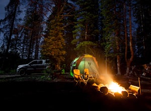
Camp at Stillwater Pass
4.6Some of my best nights in Colorado were spent in Stillwater Pass. There are numerous campsites with remade fire pits. I found this site when the Timber Creek Campground in Rocky Mountain National Park was full and I did not want to head back to Denver. There is a photo of a white plastic horse a...Read more -
Grand Lake, Colorado
Hike to Big Meadows and Granite Falls
5.010.3 miThe Green Mountain Trail is part of the Continental Divide National Scenic Trail (CDT) which is a foot path from Mexico to Canada. Big Meadows is a great place to view elk, moose, and deer. Other animals you can see in the area are abert squirrels, river otters, weasels, and black bear.Big Meadow...Read more -
Fort Collins, Colorado
Hike Arthur's Rock in Lory State Park
4.83.7 mi / 1150 ft gainThe climb to the summit of Arthur's Rock in Lory State Park provides relative isolation and solitude just 30 minutes from downtown Fort Collins along with great hiking, trail running, mountain biking, rock climbing, and horseback riding.Arthur's Rock Trail is the most direct route to the summit, ...Read more -
Fort Collins, Colorado
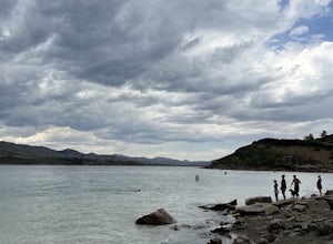
Horsetooth Reservoir North Foothills Trail
2.64 mi / 295 ft gainHorsetooth Reservoir North Foothills Trail is a loop trail that takes you by a waterfall located near Fort Collins, Colorado.Read more -
Evergreen, Colorado
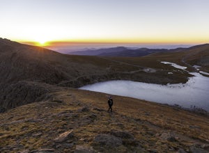
Mount Evans and Mount Spalding Loop
4.38.47 mi / 1706 ft gainMount Evans is a simple, yet drop dead gorgeous 14er. That being said, no 14er is easy by any means. However as far as 14er's go, this is a cake walk. Coming in at a rating of class 2, there tends to be some scrambling but nothing a well balanced person can't handle. To begin this adventure, we ...Read more -
Aurora, Colorado
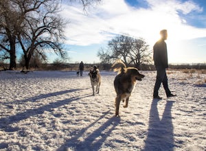
Walk the Cherry Creek Dog Off-Leash Area
4.53 miCherry Creek Dog-Off Leash Area is an extended part of Cherry Creek State Park and encompasses 107 acres of fenced-in play area. Within the park there is a 3 mile loop trail that takes you through the trees and along the Cherry Creek. What makes this park so great is the several access points to ...Read more -
Parshall, Colorado
Ski or Snowshoe Jones Pass
4.06 mi / 1600 ft gainIts sister trail, Butler Gulch, is an all-time favorite hike (both summer and winter), and since they share a trailhead, I knew Jones Pass would be special as well.Jones Pass is not the type of trail I normally take, since it is actually a 4x4 road that is used for Jeeping in the summer and snowm...Read more -
Parshall, Colorado
Butler Gulch
4.55.26 mi / 2008 ft gainButler Gulch is a pristinely beautiful day hike in the heart of the Arapaho National Forest near Idaho Springs, Colorado. Easily accessible from Denver, Butler Gulch is full of jaw-dropping views in all seasons, and anyone in good health can enjoy this gem. The hike is five miles long and rated ...Read more -
Parshall, Colorado
Camp at Jones Pass
4.5To locate these campsites all you have to do is type in Jones Pass Road into google maps or your iPhone and it will take you straight there. There are road signs once you get off I-70 that will help you the rest of the way that say Jones Pass. Once you hit the dirt road and pass the Jones Pass Tr...Read more -
Fraser, Colorado
Summit Byers Peak
8.8 mi / 2774 ft gainThe drive to the start of the trail is okay, having a high clearance vehicle would make the drive easier, but is not necessary. Free parking is available along the side of the road.The trail starts on a closed service road at a gate and requires you to either hike or bike up the dirt road (2 mil...Read more

