Castle Rock, Colorado
Looking for the best photography in Castle Rock? We've got you covered with the top trails, trips, hiking, backpacking, camping and more around Castle Rock. The detailed guides, photos, and reviews are all submitted by the Outbound community.
Top Photography Spots in and near Castle Rock
-
Golden, Colorado
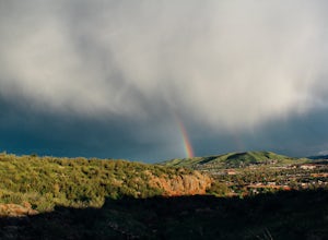
Hike South Table Mountain
4.03.3 mi / 1500 ft gainWant to see a rainbow? Possibly some coyotes or other Colorado wildlife?This hike is full of twists and turns, mostly involving the trail, but also in surprises along the way.Drive into downtown Golden (grab some food if you're hungry) and then park at the base of the Golden Summit trail. Startin...Read more -
Golden, Colorado
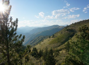
Hike Lookout Mountain
2.3 mi / 675 ft gainBegin hiking up a trail into the forest which eventually opens up into several beautiful spots that look down into the canyon below.Read more -
Golden, Colorado
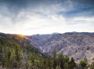
Hike Beaver Brook Trail at Windy Saddle Park
5.05 mi / 500 ft gainJust outside of Golden, CO is Lookout Mountain. If you’ve ever driven westbound on i70 from Denver to the mountains, you’ve undoubtedly seen this mountain to your right with antennas on the top. On the north side of Lookout Mountain lies Windy Saddle Park, about a 30 minute drive from Denver. Thi...Read more -
Golden, Colorado
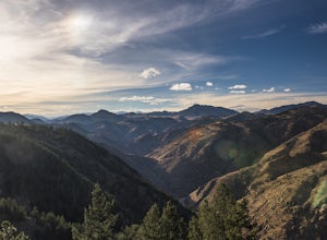
Hike Chimney Gulch Trail at Windy Saddle Park
4.05 mi / 1000 ft gainJust outside of Golden, CO is Lookout Mountain. If you’ve ever driven westbound on i70 from Denver to the mountains, you’ve undoubtedly seen this mountain to your right with antennas on the top. On the north side of Lookout Mountain lies Windy Saddle Park, about a 30 minute drive from Denver. Thi...Read more -
Golden, Colorado
Hike Lookout Mountain Trail at Windy Saddle Park
4.02.6 mi / 500 ft gainJust outside of Golden, CO is Lookout Mountain. If you’ve ever driven westbound on i70 from Denver to the mountains, you’ve undoubtedly seen this mountain to your right with antennas on the top. On the north side of Lookout Mountain lies Windy Saddle Park, about a 30 minute drive from Denver. Thi...Read more -
Colorado Springs, Colorado
Hike the Upper Loop Trail
5.00.75 mi / 72 ft gainThis short spur trail is right off Perkins Central Garden Trail. Most people walk by it because the walkway changes from paved to dirt, but it is definitely a must-see if you're exploring the park. It climbs just a short amount before reaching the rocks you can climb on. Make sure you take a mome...Read more -
Colorado Springs, Colorado
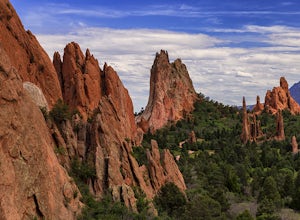
Perkins Central Garden Trail
5.01.13 mi / 138 ft gainGarden of the Gods has dozens of hiking trails that cover miles through the park itself. The Perkins Central Garden Trail takes you through the heart of the rock formations and really gives you perspective on the size of these red rocks. This trail also takes you past several areas where rock cl...Read more -
Colorado Springs, Colorado
Bike the Garden of the Gods Loop
5.06 mi / 500 ft gainThe Basics: Garden of the Gods is a free, public park on the Western edge of Colorado Springs. Open year round, the excellent paved roads with wide bike lanes provide road bikers with multiple loop options from 3 to 10+ miles. From casual bike riders to seasoned pros, you choose your distance and...Read more -
Golden, Colorado
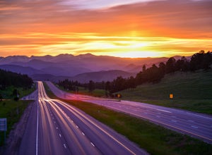
Capture the Mountains Leaving Denver
5.0After shooting a friend's wedding, I was on my way home when I noticed the sky start to light up to the west. I parked the car and ran down the road. The spot is well known for how perfectly the overpass frames the mountains as drivers leave the Denver area.The total exposure time was just over 2...Read more -
Colorado Springs, Colorado
Climb and Hike in the Garden of the Gods
4.7If you are new to the area a stop by the visitor center can helpful to get a map of the trails and roads in the area as well as obtaining a climbing permit (one is needed to climb and is free).Once you have entered the area there are multiple trails and pull outs that you can explore. Many of the...Read more -
Golden, Colorado
Hike the Golden Cliffs Trail
5.0From here, you can choose a few different hiking paths. This out-and-back trek starts at the trailhead up and to the left. Along the way you'll pass a bench dedicated to Craig Luebben — a writer, photographer and climbing guide. At this point, you probably haven't even broken a sweat yet. It's ti...Read more -
Golden, Colorado
Hike the North Table Mountain Loop
3.1 mi / 400 ft gainThe hike starts out from the North Table Mountain Park parking lot just east of Highway 93 on the North Table Loop Trail, with a half-mile fire road straight up the mountain. This fire road is by far the most strenuous part of the hike, and is essentially the sole elevation gain for the hike; onc...Read more -
Bailey, Colorado
Payne Creek Trail via Brookside McCurdy Trailhead
4.517.98 mi / 3773 ft gainDay 1: Park at the Payne Creek/Brookside Trailhead (8,040 ft.) right outside Bailey. You'll go on the trail for about a mile before the trail parts to Craig Meadows or Craig Park. If you start this in the nighttime, it's best to camp before you part ways on the trail as it's a little more spaciou...Read more -
Colorado Springs, Colorado
Siamese Twins Loop
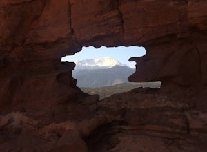
4.00.55 mi / 105 ft gainSiamese twins is about a half mile hike with little elevation gain that is a quick hike while driving the park. The hardest thing about this is getting a parking spot to tell you the truth. On a weekend or pretty much any summer day the five or so spots available at the trailhead are constantly...Read more -
Manitou Springs, Colorado
Walk to Rainbow Falls
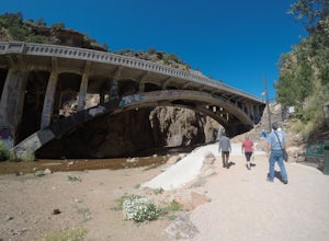
0.5 miThis waterfall was designated a historic site in 2016 due to its rich history dating back to the Native Americans and more recently the locals of Manitou Springs. The bridge itself that crosses over the falls was created in the early 20th century and was an architectural marvel during the time. ...Read more -
Jefferson, Colorado
Backpack Lost Creek
4.05 miI included a trail map of where I camped. There are many sites all throughout this area. From the Lost Park Campground Parking lot follow the Lost Creek for 2.4 miles. At the 1 mile mark was the best place that we found to cross the creek (there are two logs that make a bridge across the creek). ...Read more

