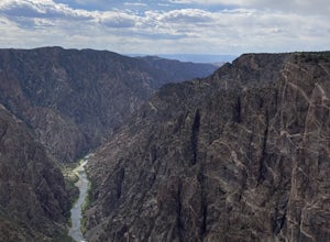
Gunnison County, Colorado
Looking for the best hiking in Gunnison County? We've got you covered with the top trails, trips, hiking, backpacking, camping and more around Gunnison County. The detailed guides, photos, and reviews are all submitted by the Outbound community.
Top Hiking Spots in and near Gunnison County
-
Montrose, Colorado
Hike the Gunnison Route
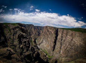
5.02 mi / 1800 ft gainImmediately upon arriving, secure a permit to scramble down 1,800ft in one mile to the Gunnison River. There are no hiking trails below the rim of the canyon, and because of its relentless steepness and rock exposure, the only existing routes are incredibly steep and loose. To protect the delicat...Read more -
Montrose, Colorado
Hike to Tomichi Point and Gunnison Point Overlooks
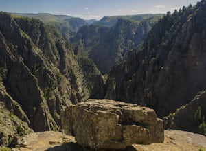
5.02 miTo access the South Rim of the Black Canyon of the Gunnison National Park, take US 50 and CO 347 to the south entrance, 15 miles east of Montrose. There is no bridge between the north and south rims of the canyon - make sure you enter from the Montrose side.After passing through the entrance stat...Read more -
Crawford, Colorado
Hike to the Painted Wall
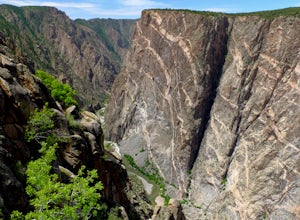
4.51 mi / 25 ft gainAt 2,250 feet, the Painted Wall in Black Canyon of the Gunnison is a sight that cannot be truly captured in photos. The layers of rock along the cliff's wall resembles a canvas with streaks from a paintbrush. This canyon took eons to create, and this view of the river and canyon walls is the high...Read more -
Glenwood Springs, Colorado
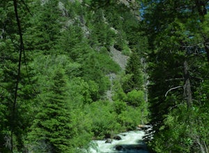
Hike the Grizzly Creek Trail
5.07.9 mi / 1900 ft gainTake exit 121 off Interstate 70 (a rest stop exit), and follow signs to a secondary parking lot near Grizzly Creek. This is a great addition to the nearby Hanging Lake & Spouting Rock hikes just 4 miles East on I-70. Because these two are so popular, Grizzly Creek is a great, not very well kn...Read more -
Montrose County, Colorado
Snowshoe in Black Canyon of the Gunnison National Park
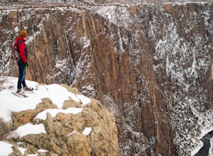
2 mi / 377 ft gainWinter is a great time to visit Black Canyon of the Gunnison National Park. Covered in snow, the canyon seems even more dramatic and sheer. The park road is plowed up until the visitor center, and there is no entrance fee in the winter. The rest of the park road is groomed for cross country skiin...Read more -
Minturn, Colorado
Climb Mount of the Holy Cross, North Ridge
4.5Just a few miles South Minturn, Colorado, turn onto Tigiwon Road (dirt) and take it about 5 miles to the Half Moon trailhead at . Tigiwon Road is easily accessed by 2WD vehicles and the trailhead should be reachable in the Summer months after the snows have melted.Start early as, at 12 miles, thi...Read more -
Minturn, Colorado
Scramble the Halo Ridge on Mt. Holy Cross
5.015 mi / 5210 ft gainThe Halo Ridge is by no means the easiest route to the summit of Mt. Holy Cross, but it is definitely the most interesting and scenic. You'll begin at the Half Moon (Tigiwon) trailhead, but instead of the popular Halfmoon Trail, you will start on the Fall Creek Trail as it leaves the campground.T...Read more -
Minturn, Colorado
Hike to Tuhare Lakes
12 mi / 3000 ft gainOverview: About a 12 mile hike, with 3 alpine lakes, a significant climb and views worthwhile Photos: See all photos here. Getting There: The hike is accessed from the Half Moon pass parking lot - from the Fall Creek trailhead. The parking lot and trailhead are accessed at the end of Tigiwon Rd. ...Read more -
Minturn, Colorado
Ski Notch Mountain
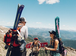
10 mi / 3000 ft gainWhat's not to love - you'll be skiing in the off season! We did this hike/ski in late June, our skis, boots, and avi gear packed with our hiking shoes on our feet. May could potentially be the most opportune time for this adventure. The hike you will take is the traditional Notch Mountain Hike. T...Read more -
Chaffee County, Colorado
Off-Trail Hike of Limestone Ridge
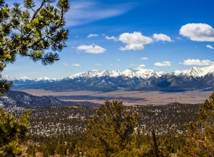
4.09 mi / 1000 ft gainFinding a winter or early spring adventure that won't take you deep into dangerous mountain territory, while still providing epic vistas, is a challenge in Colorado. There are a few 10,000' tall ranges that sometimes escape deep snow, which are inviting for a first step into the alpine wonderland...Read more -
Glenwood Springs, Colorado
Hanging Lake
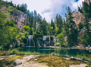
4.73.06 mi / 1168 ft gainHanging Lake is a beautifully unique natural wonder. Surrounded by dramatic, pine tree lined cliffs, a unique community of hanging plants thrive beside waterfalls cascading in to this glimmering turquoise pool of water. If this isn’t enough to entice you- the trail leading up to the lake is rathe...Read more -
Glenwood Springs, Colorado
Spouting Rock via Hanging Lakes Trail
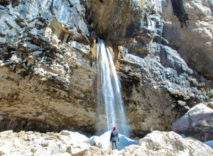
4.42.85 mi / 1529 ft gainTo get to Spouting Rock you need to take the same trailhead as Hanging Lake. I made the hike in the offseason when there was still ice on the trail and using crampons were imperative. The hike to Hanging Lake is rather steep and while it's only about 1.2 miles long it takes about an hour. Once yo...Read more -
Crawford, Colorado
Warner Point Nature Trail
5.01.52 mi / 279 ft gainWarner Point Nature Trail is an out-and-back trail that takes you by a river located near Montrose, Colorado.Read more

