Summit County, Colorado
Looking for the best running in Summit County? We've got you covered with the top trails, trips, hiking, backpacking, camping and more around Summit County. The detailed guides, photos, and reviews are all submitted by the Outbound community.
Top Running Spots in and near Summit County
-
Morrison, Colorado
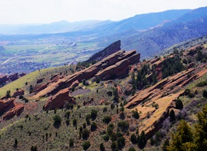
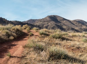
Hike the Red Rocks Trail
4.06 miWhile this is a 6 mile hike, it is relatively easy to add mileage to it and tailor it to fit your needs. Instead of simply doing the Red Rocks Trail/Morrison Slide loop, you can head all the way to the Village Walk trail in Matthews-Winters. You can also park along Red Rocks Trail Road and elimin...Read more -
Morrison, Colorado
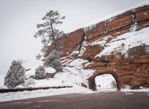
Explore Red Rocks Park in Winter
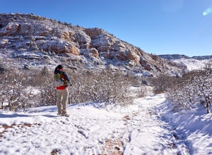
4.3Red Rocks is a bustling park in the summer when its famous amphitheater is filled with concerts. In winter though, the park dies down and becomes even more quiet when snow is falling. Grab your camera and head to the park during a winter storm to truly enjoy the beautiful red sandstone formations...Read more -
Golden, Colorado
Matthews/Winters Park Loop
4.04.99 mi / 827 ft gainMatthews/Winters Park, which is part of the Jefferson County Open Space system, is proof that you do not have to go far from the city to enjoy the mountains. Nestled in the foothills between Golden and Morrison just off I-70 and C-470, Matthews/Winters is easy to access from Denver and any of the...Read more -
Pine, Colorado
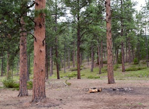
Dispersed Camp at the Buffalo Creek Area in Pike National Forest
3.850 miles from Denver, nestled in Pike National Forest, there are dozens of free dispersed camping sites. With quick access to the Colorado Trail and Buffalo Creek Mountain Bike Area, these campsites make for a perfect weekend getaway. The campsites begin on Forest Road 550, and are clearly marked...Read more -
Golden, Colorado
Hike the Golden Cliffs Trail
5.0From here, you can choose a few different hiking paths. This out-and-back trek starts at the trailhead up and to the left. Along the way you'll pass a bench dedicated to Craig Luebben — a writer, photographer and climbing guide. At this point, you probably haven't even broken a sweat yet. It's ti...Read more -
Buena Vista, Colorado
Hike Davis Meadow
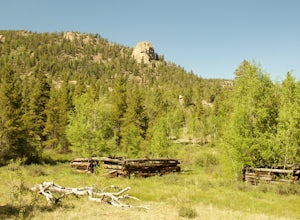
5.08.6 mi / 800 ft gainThis is a great hike that is very close to Buena Vista, CO. This trail is on the east side of town and is accessible in the spring. The hardest part of the hike is locating the trail-head. It is located in the northern part of Four Mile Canyon and is in San Isabel National forest. Starting in Bue...Read more -
Golden, Colorado
Hike South Table Mountain
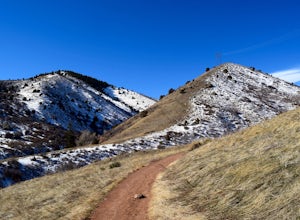
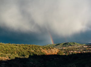
4.03.3 mi / 1500 ft gainWant to see a rainbow? Possibly some coyotes or other Colorado wildlife?This hike is full of twists and turns, mostly involving the trail, but also in surprises along the way.Drive into downtown Golden (grab some food if you're hungry) and then park at the base of the Golden Summit trail. Startin...Read more -
Boulder, Colorado
Rattlesnake Gulch Trail
3.49 mi / 1093 ft gainRattlesnake Gulch Trail is a loop trail that takes you by a river located near Eldorado Springs, Colorado.Read more -
Aspen, Colorado
Weller Lake Trail
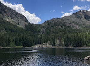
4.01.17 mi / 312 ft gainWeller Lake Trail is an out-and-back trail that takes you by a lake located near Aspen, Colorado.Read more -
Littleton, Colorado
Hike the Coyote Song-Swallow Trail Loop
3.83 mi / 350 ft gainWe all love to live our weekends to the fullest, but say you're itching for an adventure and it's midweek with the weekend still a good 3 or 4 days away? South Valley Park is the place to go if you're looking for an after-work adventure or just don't feel like driving too far from the city. A sho...Read more -
Littleton, Colorado
Hike the Meadowlark Plymouth Trail
4.06 mi / 1197 ft gainFrom the parking lot, you can take the Meadowlark trail to the west or the Plymouth Creek Trail to the southeast. It does not matter which trail you take because it ends up becoming loop. For a more gradual slope up the hill, take the Meadowlark trail. After a little more than a mile, it intersec...Read more -
Aspen, Colorado
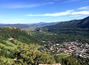
Ute Trail to Ute Rock
4.71.75 mi / 1122 ft gainThis shady trail of switchbacks ascends steadily (over a thousand feet in under a mile) to a rock outcropping at 9,185 feet. Yes, you can expect your heart to be pounding and to be huffing and puffing as you climb Ute Trail. But the view of Aspen that rewards you is spectacular. The trail is pre...Read more -
Boulder, Colorado
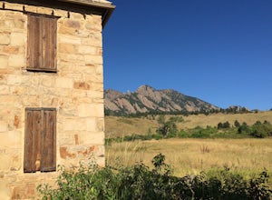
Hike the Big Bluestem Trail Loop
4.04.35 mi / 841 ft gainThis is a great spot for an easy/moderate hike or trail run. The trail is accessible year round and can often be hiked in winter as well as other seasons. You start out at the Mesa Trailhead parking lot off of Hwy 170. There is a parking lot here but this is a starting spot for several hikes into...Read more -
Boulder, Colorado
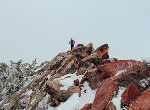
Hike Bear Peak
4.87 mi / 2810 ft gainThe best advice I can give you? Wake up early to start this hike.Even though the Bear Peak hike will only take you about 4-5 hours round trip, it will still be advantageous to get off the mountain before afternoon and evening storms might pass through. This is a steep 7-mile out and back trail.St...Read more -
Boulder, Colorado
Doudy Draw Trail
4.37 mi / 433 ft gainDoudy Draw Trail is an out-and-back trail where you may see beautiful wildflowers located near Boulder, Colorado.Read more -
Boulder, Colorado
Green Mountain via Gregory Canyon and Ranger Trail
5.45 mi / 2313 ft gainGreen Mountain via Gregory Canyon and Ranger Trail is an out-and-back trail that provides a good opportunity to view wildlife located near Boulder, Colorado.Read more

