Suwanee, Georgia
Top Spots in and near Suwanee
-
Atlanta, United States
Hike along the East Palisades Trail
4.54.3 mi / 488 ft gainThe East Palisades trail is one of the only real hiking trails within Atlanta's perimeter. Although it boasts surprising beauty and great trails, relatively few people in the city are aware this trail even exists. As part of the Chattahoochee National Recreation Area, this section of forest is ...Read more -
2126-2144 Ponce De Leon Avenue Northeast, Georgia
Stroll through Deepdene Park
4.02 miDeepdene Park is the eastern most segment of the Olmsted Linear Park system that borders Ponce de Leon Avenue, connecting the Poncey-Highland community to the Druid Hills neighborhood. The parks included in this system are Springdale, Vigilee, Shadyside, Dellwood, and lastly, Deepdene. While the...Read more -
Gainesville, Georgia
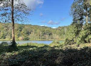
Swim in Lake Sidney Lanier at Dogwood Park
3.0Lake Sidney Lanier is pretty big, but you don't need to be overwhelmed when you visit the lake via Dogwood Park. The park has a large pavilion and a few other picnic tables, lots of shade trees, and a couple of ways to access the lake. On the left side, there's an abandoned marina (dangerous—it's...Read more -
Atlanta, Georgia
Eastside Trail of the Atlanta Beltline
4.71.93 mi / 164 ft gainTo visit the Eastside Trail of the Atlanta Beltline, park in the paid public parking (different pricing Monday-Thursday & Friday-Sunday) at the far southeast corner of Piedmont Park, behind the Park Tavern restaurant and brewery. From there, walk to the intersection of Monroe Dr. and 10th St....Read more -
Stonecrest, Georgia
Arabia Mountain
4.51.52 mi / 89 ft gainThe trail begins right off Klondike Road by the parking lot with restrooms, which is almost impossible to miss. Upon arriving, you begin a steady climb along the barren rock face. At this point, keep an eye out for the prominent cairns to guide you up and down the mountain. The trail itself is o...Read more -
Woodstock, Georgia
Kayak to Lake Allatoona Waterfall
4.1Kayak from the Olde Rope Mill Park to the Lake Allatoona Waterfall (1.5 mile paddle from park to waterfall). This easy lake paddle is great for beginners. Waterfall Coordinates: 34.1436403,-84.5330342 If it is warm, bring a bathing suit and play in the water! There are also numerous spots to ha...Read more -
Woodstock, Georgia
Rope Mill Loop
4.36 mi / 522 ft gainRope Mill Loop is a loop trail that takes you through a nice forest located near Woodstock, Georgia.Read more -
Marietta, Georgia
Hike the Battlefield and Mountain Loop
5.010.24 mi / 1355 ft gainFrom the visitor center, start on the Kenneshaw Mountain Trail, which takes you up a series of switchbacks to the summit of Kennesaw Mountain (600' elevation gain). Take in the views of Atlanta from the top, then continue on the trail as it descends, then starts up Little Kennesaw Mountain. At 2...Read more -
Atlanta, Georgia
Hike around the Doll's Head Trail At Constitution Lakes Park
3.51 miLocating the entrance to Constitution Lakes Park is the hardest part of this hike. There's no specific address to take you to the parking lot, but if you find South River Industrial Boulevard, you'll see the sign for Constitution Lakes Park on your right. Parking is free and there are two trail...Read more -
Marietta, Georgia
Hike to Noses Creek
3.52 miStarting at the Burnt Hickory Parking lot on Kennesaw National Battlefield, you head south on a pretty flat trail. After a mile and a half you will come across a bridge that goes over Noses Creek. If you're looking to cover more ground, the trails around the creek expand for miles in any directio...Read more -
Dahlonega, Georgia
Kayak the Chestatee River South of Dahlonega
4.0This six mile section of the Chestatee River is a safe, enjoyable float mostly away from civilization. There are several small rapids and bumpy areas (class 1) throughout, with two larger rapids (class 1-2) towards the end of the section. It does get pretty shallow in some sections, so keep watch...Read more -
Atlanta, Georgia
Hike the Cascade Springs Trail
5.01.9 miA quick and local getaway from the hustle and bustle of Atlanta city life, Cascade Springs Nature Preserve offers over 100 acres of forested trails that lead to Utoy Creek and Cascade Falls.The trail starts at the parking area and leads to a boardwalk where old historical structures stand alongsi...Read more -
Jasper, Georgia
Mount Oglethorpe
0.69 mi / 49 ft gainMount Oglethorpe, located in Jasper, Georgia, offers a challenging hiking trail that spans approximately 0.69 miles. The trail is marked by a steady incline, making it suitable for intermediate to advanced hikers. The path is well-maintained and clearly marked, ensuring a safe journey for all hik...Read more -
Dahlonega, Georgia
Lake Zwerner (aka Yahoola Creek Reservoir)
5.03.24 mi / 367 ft gainLake Zwerner (aka Yahoola Creek Reservoir) is a loop trail that takes you by a river located near Dahlonega, Georgia.Read more -
Dahlonega, Georgia
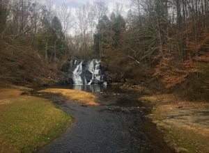
Explore Cane Creek Falls
From the parking lot, walk about 500 feet to the check-in office to let the receptionist know that you would like to visit the falls. This campground operates as a retreat select times throughout the year and is closed to the public during those times so prior to visiting, be sure to call and fi...Read more -
Dawsonville, Georgia
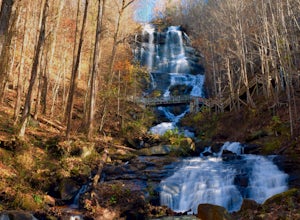
Amicalola Falls
4.30.73 mi / 292 ft gainAdventurers access the falls through the state park entrance. From the parking lot, hikers follow the clearly marked signs to the base of the falls. The incline begins by the pond at the base of the falls. From the pond, follow the incline along the cascading portion of the falls to the stairs. A...Read more

