Lutsen, Minnesota
Looking for the best hiking in Lutsen? We've got you covered with the top trails, trips, hiking, backpacking, camping and more around Lutsen. The detailed guides, photos, and reviews are all submitted by the Outbound community.
Top Hiking Spots in and near Lutsen
-
Grand Marais, Minnesota
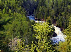
Hike to Devil's Kettle
4.32 miFor those who enjoy waterfalls, the Devil's Kettle waterfall is a must see. The Devil's Kettle trail will lead you to perhaps one of Minnesota's most unusual waterfalls along the North Shore. This waterfall of the Brule River is unique in that the river splits into two; with one half dropping 5...Read more -
Grand Marais, United States
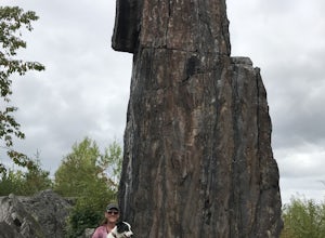
Hike to the Magnetic Rock
3 mi / 130 ft gainBranching off of Gunflint Trail, Magnetic Rock Trail first passes through a regenerating forest, a result of past fires, where there are young pines as well as wild blueberries in the summer. The rock itself, measuring 30 feet high, is a fun attraction (literally) – bring a compass or magnet to d...Read more -
Silver Bay, Minnesota
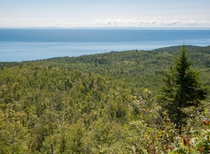
Hike to Fantasia Overlook
3 mi / 170 ft gainGetting to the trailhead:From Hwy. 61, turn left onto Hwy. 1 (at milepost 59.3) and travel 0.8 miles to the Superior Hiking Trail (SHT) parking lot on the left side of the road (very easy to miss!). The Hike:Once you get to the parking lot, cross Hwy. 1 and walk up the road to meet the SHT that c...Read more -
Silver Bay, Minnesota
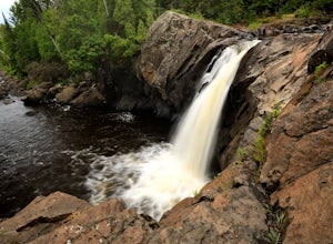
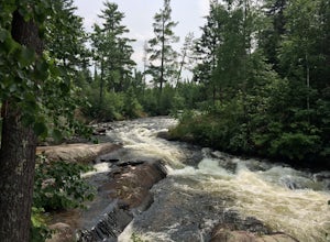
Explore Illgen Falls
5.00.5 miAfter you drive past Tettegouche State Park, continue until you reach Highway 1. Turn left and continue on the road for 1.6 miles until you see a small gravel pull-off on the lefthand side of the road. Follow the path that leads to the river (easy to hear the waterfall). The trail will go past a ...Read more -
Silver Bay, Minnesota
Hike to Shovel Point at Tettagouche State Park
5.02 miAn easy hour along the North Shore Scenic Byway from Duluth, Tettagouche State Park is a rugged, 10,000 acre park on Lake Superior. Although the interior of the park offers miles of trails to waterfalls and mountain tops, the best way to see the coast is to take the easy hike to Shovel Point. Beg...Read more -
Silver Bay, Minnesota
Hike along the Baptism River to Cascade Falls
1.5 miOnce you pull into the Visitor Center Parking Lot, drive down towards the Baptism River and park before crossing the river. The trailhead is just on the other side of the river. The trail follows the river towards the falls with several small trails down to enjoy the river and rapids at differen...Read more -
Silver Bay, Minnesota
Hike to High Falls and Two Step Falls
5.01.17 mi / 253 ft gainLocated within Tettegouche State Park, High Falls of the Baptism river is the highest waterfall entirely in Minnesota (High Falls of the Pigeon River is higher, but half of it lies on the Ontario border). The High Falls are one of the major highlights of Tettegouche State Park. Depending on wh...Read more -
Silver Bay, Minnesota
Tettegouche State Park Trail
1.69 mi / 318 ft gainTettegouche State Park Trail is an out-and-back trail where you may see beautiful wildflowers located near Silver Bay, Minnesota.Read more -
Silver Bay, Minnesota
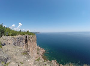
Explore Palisade Head
4.7Just an hour north of Duluth, Palisade Head is a go-to spot for artists, rock climbers and sight-seers in Northern Minnesota. The massive rock formation rises 932 feet above the North Shore of Lake Superior. The view from the top is both spectacular and spine-tingling. The cliff edge, which runs ...Read more -
Silver Bay, Minnesota
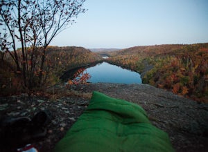
Tettegouche Lake Overlook
5.01.87 mi / 302 ft gainGetting to the parking lot:From Highway 61, turn onto MN-1 and continue for just over 4 miles. Then turn left onto Lax Lake Road. The parking lot will be on your left after about 3 miles. You will see a sign with park maps/information. The Hike:From the parking lot, follow the gravel service roa...Read more -
Grand Marais, Minnesota
Paddle the Boundary Waters' Seagull to Saganaga Loop
29 miFirst, things first - plan your trip well! There are many details that need to go into planning even a short trip into the Boundary Waters. Various websites and companies exist to help you plan and check off all of the boxes prior to your departure date. The bwca.com website is one I found to be ...Read more -
Grand Marais, Minnesota
Camp at Trail's End Campground
5.0Trail's End Campground is located at the very end of the Gunflint Trail, a remote highway that cuts into the heart of the Minnesota Northwoods. Catch the Gunflint Trail in Grand Marais along Highway 61 on the North Shore of Lake Superior. From Grand Marais, you'll wind your way sixty miles along ...Read more -
Silver Bay, Minnesota
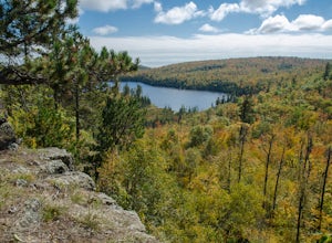
Hike to the Bear Lake Overlook
4.5Leave from the carpark on Superior Hiking Trail. The trail climbs a little before descending into a valley and winding around the hills. In about 2.5 miles, you will reach a clearing with an overlook above Bean Lake. At around 3.6 miles you will see a communal campsite on the right, with a number...Read more -
Silver Bay, Minnesota
Superior Hiking Trail: Bean and Bear Lake Loop
5.06.42 mi / 988 ft gainSuperior Hiking Trail: Bean and Bear Lake Loop is a loop trail that takes you by a lake located near Silver Bay, Minnesota.Read more -
Ely, Minnesota
Camp on BWCA's Lake 2
A trip to the Boundary Waters Canoe Area requires some planning ahead. First, you'll need acquire a permit/reservation via recreation.gov . Specify how many people are in your group, the number of watercraft you plan to use and how many days you'll be in the BWCA. You'll also need to select a gro...Read more -
Ely, Minnesota
Explore Rifle Lake in the BWCA
The best part of Rifle Lake is how remote it is. There's no quick way to find this small, secluded lake in the Boundary Waters Canoe Area. The lake supports just one campsite and is less than a half-mile long, according to rook.org. It is also part of the Rifle/Bridge Loop, which is a good option...Read more

