Montana
Looking for the best backpacking in Montana? We've got you covered with the top trails, trips, hiking, backpacking, camping and more around Montana. The detailed guides, photos, and reviews are all submitted by the Outbound community.
Top Backpacking Spots in and near Montana
-
Red Lodge, Montana
West Fork - Lake Fork of Rock Creek Trail
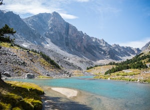
19 miStart out at the West Fork trailhead west of Red Lodge and begin on an epic backpacking trip. This trek can easily be done anywhere from 2-5 days depending on ability and whether or not you want to take your time. Camp first at Quinnebaugh Meadows, a large meadow with great views of the Beartoot...Read more -
Flathead National Forest, Montana
Hike Montana's Swan Crest Trail
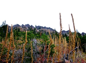
47 miGetting There: Coming from Seeley Lake, take the road towards Bigfork. Continue until you get to mile marker 27 and turn right into the Morrell/Clearwater turn off. Stay on the road most traveled until you dead end at the trail head roughly 7 miles up the road. Park here. The Trail: The trail ...Read more -
Wise River, Montana
Hike to Lower and Upper Seymour Lakes
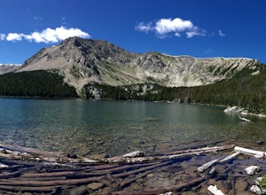
5.012 miThere are so many wilderness areas to choose from in Montana, it can be quite overwhelming. But try this on for size: the Pintlers are essentially Glacier National Park, without the people. Not only does it traverse the CDT, but chances are you won't see a lot of people, if any, on your adventure...Read more -
West Glacier, Montana
Bowman Lake to Quartz Lake Loop
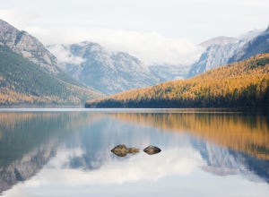
5.013.3 mi / 2618 ft gainThe trail to Quartz lake begins on southend of the Bowman Lake beach. I recommend going in a clockwise direction and getting the steep bit out of the way, but the ~13 mile loop can be done either way. Follow the Bowman Lake shore on the West Lakes Trail for about half a mile and then you will fi...Read more -
Roscoe, Montana
Backpack Granite Peak
5.014 miThere are a few ways to approach Granite Peak. The most popular route is the Mystic Lake trail in West Rosebud. It lies primarily on opinion as to which route is the best, easiest, or most scenic. I chose to start at the Phantom Creek trailhead in the East Rosebud Valley. You will follow this tra...Read more -
East Glacier Park, Montana
Dawson Pass
5.012.01 mi / 2450 ft gainThis is a somewhat strenuous but extremely rewarding hike in Glacier National Park. It is much less crowded than the more popular Logan Pass and High Line trails, and in my opinion, more rewarding. Dawson Pass is on the Continental Divide at an elevation of 7,598 feet. It sits between Mt. Helen ...Read more -
Glacier County, Montana
Pitamakan Pass
15.36 mi / 3064 ft gainThis gripping, 16 mile round trail reveals adventure at every turn. Nestled behind Pray Lake in Glacier National Park, the Pitamakan Pass hike will begin at the North Shore Trailhead. To access this trailhead, a fifteen dollar fee may be payed to cross Pray Lake by boat. If your pocket book is ru...Read more -
West Glacier, Montana
Backpack to Lincoln Lake
16.75 mi / 3747 ft gainIt's a 1600 ft slow increase in elevation. You can walk around the loose rocks going around the lake for an additional 2 miles of hiking. There is a back-country campground at the base of the glacier-fed lake and an amazing waterfall at the opposite end of the of the campground. To camp overnig...Read more -
Glacier County, Montana
Triple Divide Pass Trail to Red Eagle Lake
29.22 mi / 5499 ft gainA couple of notes to keep in mind before you start... this is a loop that takes you to a different part of the park so you will either need two vehicles (one for the pickup spot and one to take you to the trailhead) or you will need to hitchhike back to you drop off vehicle. Also you will need to...Read more -
Florence, Montana
Backpack the Sweeney Creek Trail
14 mi / 2600 ft gainThe hike into Duffy Lake was approximately 7 miles with ~2600' gain. The first mile or two is fairly steep, then it will wiggle up and down the mountain until it drops down into the drainage to the lake. You can hike to Holloway Lake too if the trail isn't completely covered in snow. Late spring ...Read more -
Kalispell, Montana
Backpack to Black Lake
7 mi / 1500 ft gainBegin at Camp Misery (elev. 5,717 ft). This is a total misname by the way! It should be titled Camp On The Way To Awesomeness! Anyway, head .6 miles on Trail 8 to the intersection of trail. From here turn right on Trail 68 and hike .7 miles until the intersection where you turn right on Trail 7 f...Read more -
Swiftcurrent, Montana
Glacier's North Circle Route (North East Section)
9.7 miPlanning & Preparations As amazing as this trek is, it's certainly not without its challenges, and the first one you will run into is obtaining a backcountry permit for camping. As it absolutely should, backcountry camping is very regulated. Essentially, you request permits and multiple da...Read more -
Flathead County, Montana
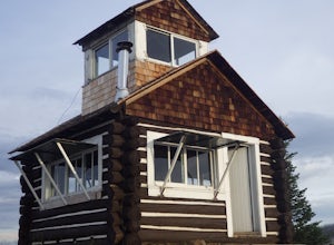
Camp Out at the Hornet Lookout
1 mi / 800 ft gainReservations for Hornet Lookout are obtained via Recreation.gov, and can be made up to six months in advance. Consider a four-wheel or all-wheel drive vehicle with some clearance if available, as the forest service roads aren't always well maintained. Although the hike is short, it is all switc...Read more -
Gallatin Gateway, Montana
Backpack the Gallatin Crest Trail
42 mi / 6000 ft gainThere are some different options for starting and ending this hike, but the route I did started at Buffalo Horn Trailhead and ends at the Hyalite Creek Trailhead, and is approximately 42 miles total. I did the trail over the course of three and a half days, spending three nights in the backcountr...Read more -
Augusta, Montana
Hike to Willow Creek Falls
5.04.5 mi / 1000 ft gainThe hike up Willow Creek Gorge is one of my favorites so far. Unfortunately, because of the terrain and elevation gain, I wouldn't recommend taking young kids but if you do, make sure they're attached to you in some way. There are no services at the trail head, so make sure to bring everything yo...Read more -
Browning, Montana
Gunsight Pass to Gunsight Lake Campsite
5.013.06 mi / 1667 ft gainHow to Get There: Get your backcountry pass at the St. Mary visitor center and then head over to the hike, which begins from the Jackson Glacier Overlook, located 12.6 miles west of the center on the Going-to-Sun-Road. The Hike: The first mile of the hike is a downhill, and then the trail is ...Read more

