Montana
Discover Montana adventures like skiing, hiking, backpacking, and more. Find unique places to stay across the state, and local adventure tours in iconic destinations like Yellowstone National Park.
Top Spots in and near Montana
-
Kalispell, Montana
Flathead Lookout
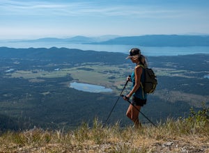
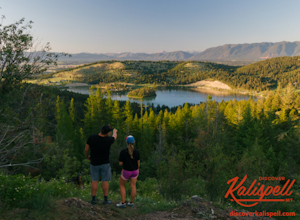
5.02.4 mi / 666 ft gainFlathead Lookout is an out-and-back trail that takes you through a nice forest located near Kalispell, Montana.Read more -
West Glacier, Montana
Bike Glacier's Going to the Sun Road
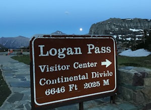
5.016 mi / 2460 ft gainBike up the road towards Logan Pass. Make sure to stay alert for traffic coming up and down the road. Helmets and flashing red, rear lights are required when biking at night in Glacier National Park. A forward facing light is also recommended to see gravel and other obstacles. Make sure to keep e...Read more -
Flathead County, Montana
Hike Demer's Ridge
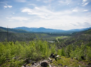
7.47 mi / 3420 ft gainThis trail is a point to point, so two cars are necessary. The ending point is where Camas Rd intersects the North Fork Road at the Blankenship Bridge. The starting point for the hike is at Demer's Pit. Driving 22 miles from Columbia Falls, MT, make your way to the parking spot, Demer's Pit. From...Read more -
Choteau, Montana
Hike Jones Creek
5.04 mi / 300 ft gainThe trail head to Jones Creeks is just off of Teton River Road (the road that takes you up to Teton Pass Ski Area) and is marked with a sign, however it's only visible when you're coming down from Teton Pass. If you miss the sign, keep in mind it's about two miles past the Cave Mountain Forest Se...Read more -
Fort Benton, Montana
Neat Coulee on The Upper Missouri River Breaks
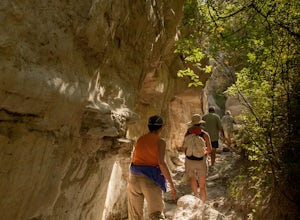
2 mi / 100 ft gainNeat Coulee is a slot canyon in Central Montana that was formed by water erosion of the white sandstone cliffs. To get to the Neat Coulee, you'll need to do a river trip. The nearest put-in in Coal Banks Landing. You could exit the river at Hole in the Rock road, but most people continue on to Ju...Read more -
West Glacier, Montana
Swim at the Belton Bridge
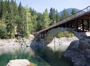
2.0The Belton Bridge is the old entrance to glacier. You can get there by turning right down old river bridge road, which is the first right when you turn in to the West Glacier village. There are some 5-8 ft rocks to jump off, but be sure to check the water below them first. The water is gorgeous, ...Read more -
Kalispell, Montana
Notch Trail, Overlook Trail, and Plum Creek Road Loop
3.85 mi / 801 ft gainNotch Trail, Overlook Trail, and Plum Creek Road Loop is a loop trail where you may see local wildlife located near Kalispell, Montana.Read more -
Zortman, Montana
Explore Nature Mission Canyon Natural Bridge
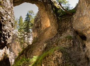
Mission Canyon Natural Bridge is located on the Fort Belknap Indian Reservation just outside Hays, Montana. Fort Belknap Indian Reservation is home to the Assiniboine (Nakoda), and the Gros Ventre (aaniiih) tribes, and is the forth largest Indian reservation in Montana. The People's Creek flows ...Read more -
Superior, Montana
Diamond Lake and Cliff Lake Trail
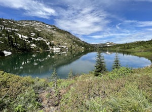
5.02.82 mi / 692 ft gainDiamond Lake and Cliff Lake Trail is an out-and-back trail that takes you by a lake located near Superior, Montana.Read more -
White Sulphur Springs, Montana
Hike Yogo Peak and Enjoy Views of Lake Elva
A short 2-hour drive from Great Falls leads you to Yogo Peak and Lake Elva, an area of beauty, tranquility, and solitude. Yogo Peak is located in the Little Belt Mountains which are part of the Lewis & Clark National Forest. Yogo Peak doesn't have a designated trail, but it is located to the...Read more -
Augusta, Montana
Devil's Glen - Dearborn 206
5.06.19 mi / 554 ft gainDevil's Glen - Dearborn 206 is an out-and-back trail that takes you by a river located near Augusta, Montana.Read more -
West Glacier, Montana
Trail of the Cedars
5.00.88 mi / 121 ft gainTrail of the Cedars Trail is a loop trail that takes you by a river located near Lake Mc Donald, Montana.Read more -
Glacier National Park, Montana
Fly Over Glacier National Park
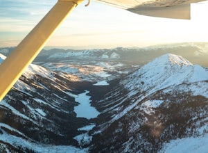
Flying over Glacier National Park in a small airplane is an epic way to see the beautiful scenery of this National Park. If you haven't even been to the park before, it is a great way to see it for the first time, which was the case for me. Time: The best time to fly over these majestic mountain...Read more -
Superior, Montana
Heart and Pearl Lakes Trail
5.07.66 mi / 1850 ft gainHeart and Pearl Lakes Trail is an out-and-back trail that takes you by a lake located near Superior, Montana.Read more -
Great Falls, Montana
North Shore Rivers Edge Trail East
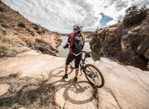
6.9 mi / 700 ft gainThe North Shore Rivers Edge Trail East is a moderate trail that has been created mostly by the local biking associations. The trail follows the bluffs on the edge of the river with plenty of twists and turns to keep it interesting. To access the East section of the North Shore Rivers Edge trail,...Read more -
Helena, Montana
Continental Divide Trail: MacDonald Pass to Priest Pass
5.010.8 mi / 2500 ft gainThe CDT trail is a popular trail with thru-hikers, and is considered one of the three Crown Jewels. The Appalachian Trail and the Pacific Crest Trail being the other two. This section of the Continental Divide Trail starts 25-minutes to the West of Helena just off Highway 12 at the CDNST Trailhe...Read more

