Henderson, Nevada
Looking for the best hiking in Henderson? We've got you covered with the top trails, trips, hiking, backpacking, camping and more around Henderson. The detailed guides, photos, and reviews are all submitted by the Outbound community.
Top Hiking Spots in and near Henderson
-
Las Vegas, Nevada
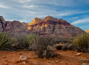
Hike Red Rock's Ice Box Canyon
4.8Red Rock Canyon is about 30-45 minutes outside of Las Vegas and is the perfect little get away from the noise of Sin City; however, it will still be slightly infested with tourists.From the trailhead it just looks a bit like thick brush, but once you get into it, you find tiny pools and a little ...Read more -
Las Vegas, Nevada
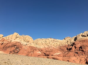
Hike or Trail Run White Rock to Willow Springs
4.4 mi / 200 ft gainThis hike is located along the 13 mile scenic drive in the Red Rock Canyon National Conservation Area. To enter the park you will need to pay a $7.00 entry fee per car (or $3.00 fee per bike). About halfway through the drive you will find the upper parking area for the White Rock Spring. [There ...Read more -
Clark County, Nevada
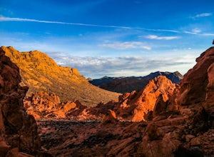
Hike the Pinnacle Loop in the Valley of Fire
5.0Pinnacle Loop is an unmaintained poorly marked trail leading to a cluster of sandstone towers, hidden close to some of the more popular areas of the Valley of Fire like Atlatl Rock and a campground.Getting TherePinnacle Loop shares the same trailhead as the popular Atlatl Rock picnic area and pet...Read more -
Clark County, Nevada
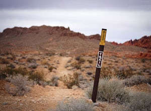
Hike the Prospect Trail in the Valley of Fire
4.511 miComing from the adventure guide map you can buy at the Visitors Center, which you should do, they describe the Prospect Trail in the following:"Hikers and equestrians enjoy 5.5 miles of outback trail between Valley of Fire Highway and White Domes. Many work out the logistics of being picked up o...Read more -
Clark County, Nevada
Hike the Petroglyph Canyon Trail to the Mouse's Tank
0.8 mi / 25 ft gainStart the hike from the parking area for the Petroglyph Canyon Trail. The trail is not difficult to hike, but has deep sand in some places. There are very good views of the rock formations and of the desert vegetation and there are a couple of places where petroglyphs can be seen. The view at the...Read more -
Clark County, Nevada
Hike to Mouse's Tank in Valley of Fire State Park
5.01.5 miThis short hike takes you through a red sandstone canyon covered in beautiful Native American rock art. The incredible amount and concentration of petroglyphs on this hike make this a must-see in Valley of Fire State Park.There is a parking lot roughly one mile north of the visitor center where t...Read more -
Clark County, Nevada
Photographing Rainbow Vista
4.5Rainbow Vista is located in the heart of Nevada's Valley of Fire State Park and only a short drive, north on I-15 out of Las Vegas.To get to Rainbow Vista drive the loop road toward the park's visitor center. It's a good idea to stop here if you need water, snacks, or a map. Remember the desert g...Read more -
Clark County, Nevada
Hike the Rainbow Vista Trail
5.01.1 mi / 95 ft gainStart the hike from the parking area. At the beginning, the trail is rather sandy. Further in, the trail gets easier and has wonderful views of the surrounding rocks and there is interesting desert vegetation. The colors in the rocks are incredible! This is one one the prettier hikes in the park.Read more -
Clark County, Nevada
Hiking Charlie's Spring in The Valley of Fire
6.7 miCharlie's Spring is a small oasis in the Valley of Fire State Park just outside of Las Vegas, Nevada. The unmarked trail is flat and follows a wash for 2.5 miles down dry sandstone waterfalls, a small slot canyon and ends in a small spring surrounded by cattails and bushes, a start contrast to th...Read more -
Clark County, Nevada
Hike to Pink Canyon in Valley of Fire State Park
4.02 mi / 180 ft gainValley of Fire is a place that will exceed your expectations. It’s kind of small but packs a punch. Just an hour outside of Vegas, it’s the perfect retreat for anyone who is in need of a reprieve from the city lights.Anyone who has heard of this park is likely familiar with the Fire Wave . What y...Read more -
Clark County, Nevada
Exploring Nevada's Pastel Canyon
4.7Pastel Canyon or Pink Canyon is part of wash no. 5 in The Valley of Fire State Park and sits close to The Fire Wave and the White Dome trail yet since there is no official trail and isn't on any map it's hardly noticed.To get to the slot canyon drive on Mouse's Tank Rd. in the Valley of Fire to P...Read more -
Clark County, Nevada
Hike the White Domes Trail in Valley of Fire State Park
5.01 mi / 0 ft gainThe White Domes Loop Trail is at the end of Mouse's Tank Road. Travel north from the visitor center until you get to the White Domes Parking Lot. This short loop trail wanders through short slot canyons and towering sandstone formations. From the parking lot, head south down the sandstone steps. ...Read more -
Clark County, Nevada
Hike the White Domes Trail
1.1 mi / 173 ft gainStart the hike from the parking area. First, the trail is fairly level and sandy. Further down the trail, there is a fairly sharp descent in the canyon below. There is a place and a marker from a film set. The trail also passes through a narrow slot. There are very good views of the surroundings ...Read more -
Clark County, Nevada
Hike to the Fire Wave
4.61.3 miOnce a secret unmarked location The Fire Wave has quickly become a huge draw for park visitors in The Valley of Fire. The hike to the sandstone wave is just over a half mile of sand and sandstone and it's worth every step. While not as popular as The Wave in Utah the Fire Wave can be accessed wit...Read more -
Mount Charleston, Nevada
Mt. Charleston via Trail Canyon
5.016.3 mi / 5030 ft gainEscape the heat and ditch the bright lights of Las Vegas and hike to the summit of Mt. Charleston. Less than an hour drive from Sin City it provides desert dwellers and visitors alike with a dramatic change of scenery and a taste of high-altitude hiking. With a total round trip hike of 16 miles ...Read more -
Mount Charleston, Nevada
Trail Canyon in the Mt. Charleston Wilderness
3.82 mi / 1588 ft gainTHE TRAIL The Trail Canyon Trail is a 3.8 mile out-and-back moderately trafficked route located in the Mt. Charleston Wilderness located approximately 45 minutes northeast of Las Vegas, NV. This difficult trail offers access to Mt. Charleston Peak, the western side of the Mummy Mountain Trail,...Read more

