Bean's Grant, New Hampshire
Top Spots in and near Bean's Grant
-
Franconia, New Hampshire
4.5
3.05 mi
/ 1027 ft gain
The Franconia Notch area of New Hampshire has many roadside adventures to go on, bringing in thousands of visitors every year, but my favorite place in the notch is Lonesome Lake.
At 3 miles, the hike is easy enough for the whole family, but most people visiting the notch stick to the roadside a...
Read more
-
Franconia, New Hampshire
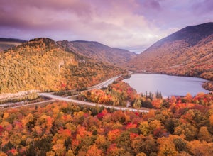
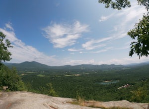
Starting from the Bald Mountain trailhead, the Artists Bluff trail takes you up a short but steep 1.5 mile path to a beautiful rocky overlook of Franconia Notch State Park. This is the perfect hike to find incredible views of the park and some amazing foliage in autumn. We parked across the stree...
Read more
-
Albany, New Hampshire
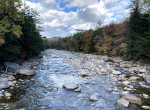
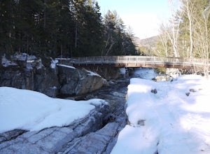
A beautiful area of the Kancamagus Highway, the Rocky Gorge section is home to rushing rapids and scenic lakes. When visiting in the fall the colors are amazing however be ready for traffic and more crowds. This location has a parking lot and walking trails along the river to multiple viewpoints.
Read more
-
Lincoln, New Hampshire
The Basin is just one stop on the Pemigewasset Recreational Trail that follows along I-93 through Franconia Notch. The parking lot for the Basin is easily accessible from either north or south on I-93, and it has it's own exit sign which can't be missed.Park in the lot and follow the signs toward...
Read more
-
Lincoln, New Hampshire
Our hike began at the Basin, which is a clearly marked exit directly off 93. If you are coming from the Northbound side, walk under the bridge beneath 93 to get to the beginning of the trail. We enjoyed the Basin for a while before hiking 1.0 mile to the Cascade Brook Trail where we took a right....
Read more
-
Albany, New Hampshire
5.0
9.18 mi
/ 2904 ft gain
Champney Falls - Bolles Chocura Loop is a loop trail that takes you by a waterfall located near Lincoln, New Hampshire.
Read more
-
North Conway, New Hampshire
Consider this moderate hike a warm-up to some of the bigger boys in the area! We've hiked Cathedral Ledge from Echo Lake State Park in the past, but wanted something a little longer in distance & slighting more challenging. When I asked the guy manning the State Park booth for a map he said, ...
Read more
-
Lincoln, New Hampshire
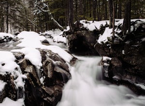
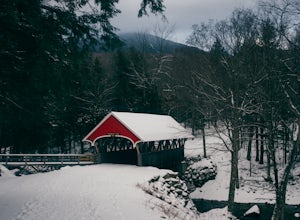
The Flume Gorge in Franconia State Park is beautiful year round and every season has it's unique benefits. During the summer, the Flume is a highly frequented tourist destination and is usually crowded with groups of kids and families. Technically, the Gorge is closed during the winter and there ...
Read more
-
Lincoln, New Hampshire
For the point to point option first drop a car off at one end of the trail then return to the other. The south end is located at the Flume Gorge Parking lot and the north end is at a parking lot located about a half mile off Route 93, Exit 35 which takes you onto route 3 (44°12'11.3"N 71°40'51.7...
Read more
-
Lincoln, New Hampshire
Driving the Kancamagus Highway is something you can do as a way to cross the White Mountain National Forest quickly from I-93 in the east to Conway, or it can be an entire day's activity. In the fall, it's almost impossible not to stop at every turn-off on the scenic highway as it winds through t...
Read more
-
Thornton, New Hampshire
This short hike starts out from the Tecumseh Trailhead parking lot along Tripoli Road at an elevation of 1,820 feet. The trail heads south from the parking area and almost immediately crosses a few brooks which may be difficult at high water. The first mile or so is a relatively gradual ascent.
O...
Read more
-
Stow, Maine
The best place to start your hike is from Route 113 near Gilead, head towards Stone House Road. This becomes Shell Pond Road. A few miles in, you'll find a gated area where you can park. This trail, and Rattlesnake Pool, are both on private land - so be sure to practice leave no trace principles.
Read more
-
Thornton, New Hampshire
Begin at the Mt. Tecumseh trailhead. You will hike for 1.2 miles before your first vista. Continue from there another mile until you arrive at the junction with the Sosman Trail. Stay right and continue another 0.3 miles to reach the summit of Mt. Tecumseh. At just over 4,000' this peak offers in...
Read more
-
Sugar Hill, New Hampshire
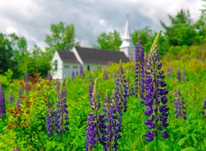
Every year, more or less around the second week of June, the village of Sugar Hill boasts a magnificent show of lupines. There are several concentrations of lupines in fields along the road, but the highlight of a visit to Sugar Hill is the small hillside near St. Matthew's Church. The vistas tow...
Read more
-
Conway, New Hampshire
The Kancamagus Highway is designated an American Scenic Byway. It cuts through the White Mountains of New Hampshire. The highest point along the drive is 3000 feet. It is known as one of the best fall viewing areas in the country. If your interested there is also several campgrounds along thi...
Read more
-
Benton, New Hampshire
The trailhead is located along Lost River Road. There is a $5.00 day use parking pass required. The trail starts off on the Beaver Brook Trail (also the Appalachian Trail). The trail consists of cascades of rocks, wood-block steps and metal rungs (not all entirely in tact). It is very often ...
Read more

