Nottingham, New Hampshire
Looking for the best hiking in Nottingham? We've got you covered with the top trails, trips, hiking, backpacking, camping and more around Nottingham. The detailed guides, photos, and reviews are all submitted by the Outbound community.
Top Hiking Spots in and near Nottingham
-
Medford, Massachusetts
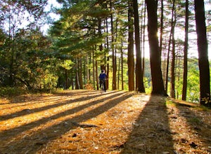
Hike Southern Middlesex Fells Loop
4.73.5 mi / 756 ft gainPark in the parking area near Bellevue Pond. There are multiple entrances to the reservation (some closer to the reservoir itself than others). I have spent days in there hiking around and never seeing the water and there are days when I just hiked right in to the water and sat and enjoyed it. Th...Read more -
Concord, Massachusetts
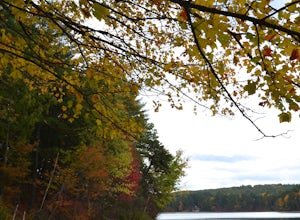
Hike around Walden Pond
4.51.69 mi / 45 ft gainPark in the lot ($8 for MA residents) by Walden Pond to access the trail, and head out either direction on the loop around the pond. Trail is accessible from April-October.Read more -
Acton, Massachusetts
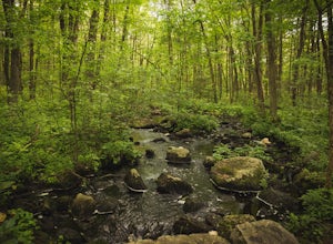
Hike the Pratt's Brook Conservation Area Loop
4.01.5 mi / 85 ft gainPark in the small parking area right before the trailhead. *Notice this parking area is small and only fits about 3-4 cars so prepare to find street parking on a busy day. You can punch in the coordinates to a GPS if you need help finding it: 42.4545482, -71.4358192. The loop is very diverse wit...Read more -
Newbury, New Hampshire
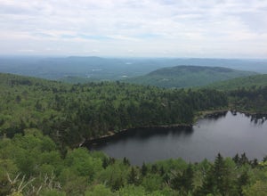
Hike to Lake Solitude, NH
4.04.8 mi / 2510 ft gainThe two most popular routes to Lake Solitude are the Newbury Trail and Andrew Brook Trail. The round-trip distance of the hikes are 4.8 miles and 3.8 miles. Both could be described as moderate in terms of difficulty. The Newbury trail is accessed from Lakeview Ave and Andrew Brook Trail can be a...Read more -
Ashburnham, Massachusetts
Summit Mount Watatic via the Wapack Trail
5.03 mi / 800 ft gainEntering Mount Watatic in your GPS will take you to Rindge State Road (119), continue about two minutes down the road past where the GPS tells you. on the Right hand side you will will see a sign for Mount Watatic Parking area or just enter in coordinates: 42.696796, -71.904521 You will begin the...Read more

