Wallkill, New York
Top Spots in and near Wallkill
-
Yonkers, New York
Run the Old Croton Aqueduct Trail
5.026.5 miThis trail traces the route of the Old Croton Aqueduct, which carried water to New York City between 1842 and 1955. Our recommended route starts near the Greystone Station in Yonkers, NY (Metro-North Hudson Line) and ends by the Scarborough Station, but you can easily modify your route – the enti...Read more -
Salisbury, Connecticut
Explore Riga Falls
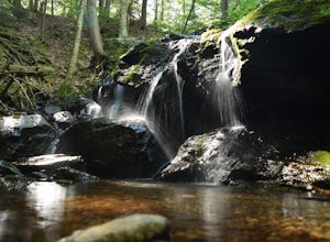
The best part of the adventure is finding this hidden gem also known as Riga Falls. Riga Falls is actually one of Connecticut's lesser known waterfalls, but arguably the most scenic. A helpful hint is that the waterfall lies beside dirt road, keep your ears open! I've already said too much, happy...Read more -
Boonton Township, New Jersey
Hike Pyramid Mountain to Tripod Rock
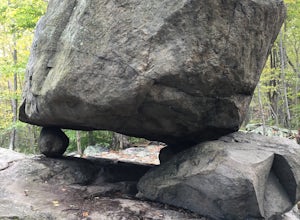
4.0This is a fun hike that is great for the entire family. The trails are really well maintained and Tripod Rock is a pretty amazing feature to check out. You can hike to the rock and follow your steps back to the parking lot for a 3 mile round trip or continue along the trail for a 4.4 mile loop. I...Read more -
Washington, Connecticut
Hike the Mount Tom Tower Trail
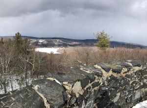
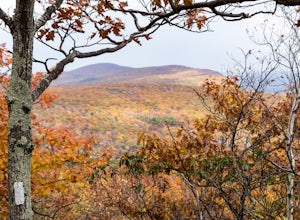
1.3 mi / 337 ft gainStarting from the parking lot of Mt. Tom State Park, hop onto the Tower Trail (yellow trail) which leads more into the woods. During winter time, the trail may be slippery, please use your best judgement and always know your limits. Gaining about 300 feet in total elevation in approximately 1 mil...Read more -
Dingmans Ferry, Pennsylvania
Hike to Indian Ladder Falls Along Hornbecks Creek
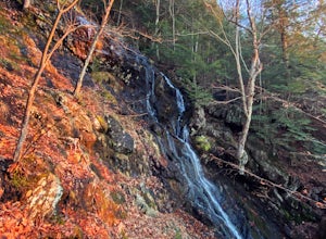
3.52 mi / 400 ft gainFor some time, the trail was eroded above the first falls on Hornbecks Creek, not allowing hikers to access the creek's upper falls if they were coming upstream from Route 209. I am writing this in June 2017 and that is no longer the case! You can hike from Rt. 209 all the way up the creek to Eme...Read more -
Closter, New Jersey
Hike to Huyler's Landing/ Closter Dock Loop
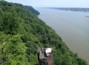
4.05.4 mi / 450 ft gainThe easiest way to access this loop hike is by parking at the Palisades State Park Headquarters. This is just off exit 2 from the Palisades Interstate Parkway. Parking here is free and it is a short walk down a road to the Closter Dock Trail. The Closter Dock Trail is more of a wide fire road ...Read more -
Paterson, New Jersey
Explore the Great Falls of the Passaic River
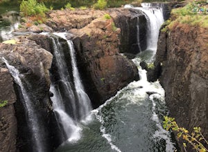
3.2Getting to the Great Falls of the Passaic River is a relatively straight shot. It is located off exit 57B on Route 80 which is also accessible from highway 287. Parking is located on McBride Avenue across the street from the park's welcome center.Typically during autumn park rangers offer 45 to 1...Read more -
Mount Washington, Massachusetts
Mount Frissell and Brace Mountain Loop Trail
5.08 mi / 807 ft gainMount Frissell and Brace Mountain Loop Trail is a loop trail where you may see beautiful wildflowers located near South Egremont, Massachusetts.Read more -
Canaan, Connecticut
Explore Great Falls
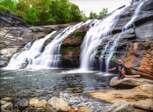
3.00.5 miStumbled upon Great Falls in the Falls Village section of Canaan, CT. The stunning 50ft waterfall doesn't disappoint. very easy hike from parking lot, you must cross the river in order to get close for bottom view. Hop on top of turtle rock and relax as the waterfall tumbles in the distance.Read more -
Salisbury, Connecticut
Bear Mountain Loop
4.56.05 mi / 1516 ft gainAt 2,316 feet, Bear Mountain is the highest peak in Connecticut. The peak is about a half-mile south of the Massachusetts state line on the Appalachian Trail. The views are great. On a clear day you can see some of the peaks in southern New Hampshire. The remnants of a stone tower are on the summ...Read more -
Windham, New York
Backpack the Catskill's Escarpment Trail
32.4 mi / 8000 ft gainThe Escarpment Trail runs the length of the Catskill Escarpment. The Escarpment rises steeply from the valley below forming the northeast corner of the Catskill Mountains. It offers great views toward the Adirondack Mountains to the north and the great Hudson River to the east. The trail is moder...Read more -
Lehman township, Pennsylvania
Hike to Hornbeck's Creek Waterfall
4.31.2 miGPS Coordinates: 41.187148,-74.885454Driving Directions: From 209, enter into the Delaware Water Gap and in between the 10 and 11 mile markers you will see a sign for Hornbecks Creek with a gravel road adjacent to it. Follow the road back until you reach the parking lot and the trail will be to t...Read more

