Burnsville, North Carolina
Looking for the best running in Burnsville? We've got you covered with the top trails, trips, hiking, backpacking, camping and more around Burnsville. The detailed guides, photos, and reviews are all submitted by the Outbound community.
Top Running Spots in and near Burnsville
-
Lake Lure, North Carolina
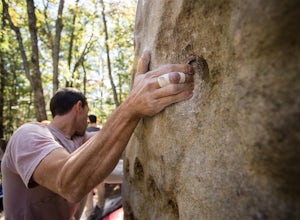
Boulder at Rumbling Bald
4.51.5 miLocated off of Boys Camp Rd. in Lake Lure, North Carolina, Rumbling Bald is a huge boulder yard that has been in use since the 1970's and has begun to flourish. Conveniently at the trail head is a gravel parking lot with three Port A Johns to use. Make sure you get to the parking lot early thou...Read more -
Blowing Rock, North Carolina
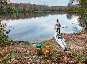
Camp and Paddle at Price Lake
This campground is all kinds of amazing, and if you get one of the sites in the A loop, you will have lakefront property (just be warned, if I see you there, I'll have to crash with you ;-). Price Lake is a gorgeous lake right off the Blue Ridge Parkway in North Carolina and perfect for canoeing...Read more -
Blowing Rock, North Carolina
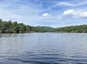
Price Lake Loop Trail
5.02.23 mi / 387 ft gainPrice Lake Loop Trail is a loop trail that takes you by a lake located near Blowing Rock, North Carolina.Read more -
Hendersonville, North Carolina
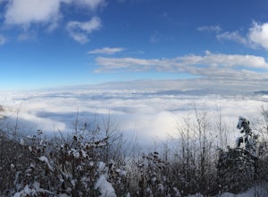
Hike along The World's Edge
0.7 mi / 40 ft gainPark at the end of The World's Edge Road, but be aware that parking is very limited. There is a private residence up to the right so do not block their driveway/gate. Begin your hike by going through the leftmost gate, and continue straight until you reach the first view less than half a mile in....Read more -
Bristol, Tennessee
Emmett Trail
5.02.16 mi / 194 ft gainThe Emmett Trail is one of the TVA South Holston Tailwater Trails. This trail began as a footpath created by anglers. The trail now has gravel, which makes for easier access for families and pets. The trailhead begins on Piney Hill Road where it the traverses down to the waters edge and leads to ...Read more -
Bristol, Tennessee
Spillway Trail
5.03.54 mi / 869 ft gainSpillway Trail is an out-and-back trail that takes you by a lake located near Bristol, Tennessee.Read more -
Bristol, Tennessee
Osceola Island Loop
5.01.52 mi / 95 ft gainThe Osceola Island Loop is a 1.50 mile gravel loop on an island in the South Holston River. There are multiple benches along the loop to stop and observe the wildlife. Fishing is a common activity along the edge of the trail. There is a large parking area and bathrooms at the start of the trail.Read more -
Bristol, Tennessee
Tailwater Trail
5.00.95 mi / 30 ft gainThe TVA Tailwater Trail is a 0.5 mile trail along the east side of South Fork Holston River. The trail is dirt and ends in an incline. Along the edge of the river, there are views of the distant Holston Mountain. This trail provides access to the river for fishing. It is located near the Emmett T...Read more -
Kingsport, Tennessee
Bays Mountain Trail Loop
5.06.01 mi / 728 ft gainBays Mountain Trail Loop is a loop trail that takes you by a lake located near Kingsport, Tennessee.Read more -
Kingsport, Tennessee
Bays Mountain Reservoir Trail
5.02.8 mi / 469 ft gainBays Mountain Reservoir Trail is a loop trail that takes you by a lake located near Kingsport, Tennessee.Read more -
Kingsport, Tennessee
Bays Mountain Fire Tower Loop
5.04.79 mi / 879 ft gainBays Mountain Fire Tower Loop is a loop trail that takes you by a lake located near Kingsport, Tennessee.Read more -
Kingsport, Tennessee
Kingsport Greenbelt
5.09.1 mi / 308 ft gainKingsport Greenbelt is a point-to-point trail that takes you by a river located near Kingsport, Tennessee.Read more -
Todd, North Carolina
Hike the Elk Knob Summit Trail
5.03.8 mi / 1000 ft gainThere are no bathrooms at the trailhead, so if needed, drive a little past it to the park bathrooms on the left. Park at the summit trailhead and start your hike on the new gravel path. The trail gains 1000 ft in elevation in just under 2 miles so take your time if need be - and bring plenty of w...Read more -
Church Hill, Tennessee
Laurel Run Trail
5.03.96 mi / 712 ft gainLaurel Run Trail is an out-and-back trail that takes you by a waterfall located near Church Hill, Tennessee.Read more

