Detroit, Oregon
Looking for the best photography in Detroit? We've got you covered with the top trails, trips, hiking, backpacking, camping and more around Detroit. The detailed guides, photos, and reviews are all submitted by the Outbound community.
Top Photography Spots in and near Detroit
-
Deschutes County, Oregon
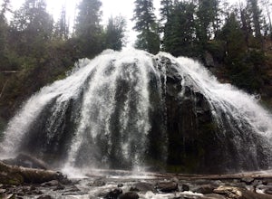
Chush Falls
3.35.75 mi / 823 ft gainJust outside of Sisters, Oregon, near Bend, is a beautiful hike to a picturesque waterfall. It is rarely crowded thanks (and no thanks) to the Pole Creek Fire, which ravaged the area several years ago. Because of the fire, the hike and landscape have been drastically altered. What used to be a 2-...Read more -
Mount Hood, Oregon
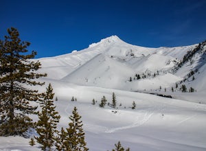
Snowshoe Mt. Hood's White River
5.04 mi / 800 ft gainThe White River West Sno-Park is a hub of winter activities at Mt. Hood. At 4200', this area is easily accessed directly off of Route 35. The large parking lot fills up quickly on snowy weekends so arrive early to get a spot and make sure that you have an Oregon Sno-Park Permit*.The White River r...Read more -
Government Camp, Oregon
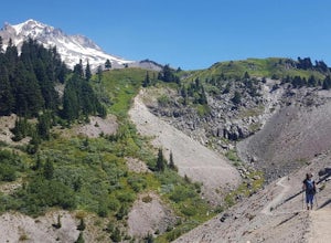
Hike Paradise Park
5.012 mi / 2300 ft gainThe hike begins at Timberline Lodge, which sits on Mount Hood at 6,000 feet of elevation. Find the Timberline trail behind the lodge by following any of the maze of trails heading east and you will be on your way! After 1.2 miles, you reach Little Zigzag Canyon where you will descend approximatel...Read more -
Government Camp, Oregon
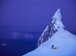
Climb to Mt. Hood's Illumination Rock
5.06 mi / 3600 ft gainThe Pacific Northwest has an abundance of beautiful, technical and fun Alpine ascents. For those looking to feel the rush of mountaineering but not wanting to push for a summit attempt, Illumination Rock on the southwest ridge of Mt Hood, offers a beautiful way to spend an afternoon or potential...Read more -
Government Camp, Oregon
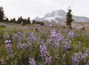
Photograph the Wildflowers at Timberline Lodge
4.0From the mount hood scenic byway in Government Camp, Oregon turn on the road that heads up to the Timberline Lodge. Follow that road to the end and park in the lot all the way at the top. In the ski season you need a pass to park there, but if you go in June, July, Or August (aka when the wildflo...Read more -
Rhododendron, Oregon
Burnt Lake and Zigzag Mountain
5.012.27 mi / 3225 ft gainAfter getting your back country permit from a park ranger, you can park your car and head up Zigzag Mountain. There's a tiny 'parking lot' (lot of dirt) where you park that's right by the trailhead. The hike up to the campsites is roughly 4 miles, and it is all uphill. Not only are you surrounde...Read more -
Sandy, Oregon
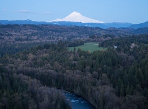
Photograph Jonsrud Viewpoint
4.5The view from this spot is definitely worth the drive, if you're visiting Portland or the Columbia River Gorge area I highly recommend taking the time to stop here. Not a lot of people know about this spot and its likely you'll be the only person/people there!If you get the chance, definitely com...Read more -
Rhododendron, Oregon
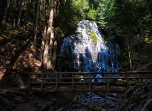
Ramona Falls Loop
4.77.17 mi / 1148 ft gainI'd been wanting to do this hike for quite a while, and when I found work taking me to Portland, I made my return trip through the Mt. Hood wilderness area. I started this Hike from the Ramona Falls trailhead, which is the most popular starting point. The easiest way to find the trailhead, is t...Read more -
Mount Hood, Oregon
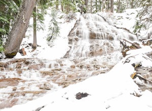
Snowshoe to Umbrella Falls
0.5 mi / 100 ft gainJust 66 miles east of Portland, and 35 miles south of Hood River the infamous Mt Hood breaks through the clouds for all to see. The highest peak of Oregon is the ultimate explorer's paradise offering something for every season... and in this case we mean snow shoeing and hiking!!Our trek begins ...Read more -
Terrebonne, Oregon
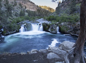
Hike to Steelhead Falls
4.81 mi / 120 ft gainFollowing along the Dechutes river for half a mile you will see where the river progressively gets more aggressive. On both sides of the trail you will see beautiful mountain inclines and jagged cliffs. If your lucky you might just see a bald eagle soaring high above! Along with Steel Head being ...Read more -
Hood River County, Oregon
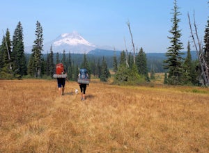
Camp at Elk Meadows
4.54.5 mi / 1200 ft gainThis is a great trip for those who are new to backpacking. The hike to the quiet, peaceful Elk Meadows is relatively short, but the Newton Creek crossing presents enough difficulty to make this a fun and challenging adventure.Start at the Hood River Meadows Trailhead parking lot. Though there are...Read more -
Oregon City, Oregon
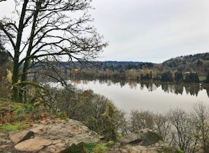
Walk the Canemah Bluff Loop
4.51.6 mi / 200 ft gainYou'll never stumble upon Canemah Park unless you're really looking for it. Tucked away in the hills of Oregon City above the Locks, this residential park has a miniature-sized set of everything you'd expect in a children's park: Playground, picnic benches, bathrooms, and wide, forested trails. D...Read more -
Gladstone, Oregon
Run the Clackamette Park Loop
1.2 mi / 10 ft gainClackamette Park is known for its prime destination right off of the freeway and across from Oregon City's most popular shopping area, but it's frequented for its public boat dock, RV facilities, and handicap-accessible picnic benches. While the rest of Portland's parks freeze over or flood, Clac...Read more -
Mount Hood, Oregon
McNeil Point via Top Spur Trailhead
4.97.17 mi / 2428 ft gainThe hike to McNeil Point begins at Top Spur Trailhead, in the Mt. Hood National Wilderness. Follow signs for McNeil Point along the Pacific Crest and Timberline Trails heading north. Though there are numerous camping opportunities along the way (most of the route follows the PCT), an old stone s...Read more -
Mount Hood, Oregon
Hike to Sandy Glacier Caves
4.512.5 mi / 2800 ft gainThe hike to the caves begins at Top Spur Trailhead. The hike to McNeil Point is 5.4 miles one way, and 2200 feet of elevation gain. The trail starts in the forest, but will eventually open up to views of Mt Hood, as well as St. Helens, Adams and Rainier on a clear day.There is a shortcut up to Mc...Read more

