Lane County, Oregon
Looking for the best hiking in Lane County? We've got you covered with the top trails, trips, hiking, backpacking, camping and more around Lane County. The detailed guides, photos, and reviews are all submitted by the Outbound community.
Top Hiking Spots in and near Lane County
-
Deschutes County, Oregon
Matthieu Lakes via Lava Camp Lake Trail
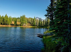
2.06 mi / 922 ft gainBegin your hike at the Lava Camp Lake Trailhead. The trail winds through a forest flush with hemlock and fir while opening up into black lava flows. Continue for a little over two miles until you reach North Matthieu Lake. This is your first stop. Go for a swim out to the little island and have a...Read more -
Deschutes County, Oregon
Camp at Lava Lake
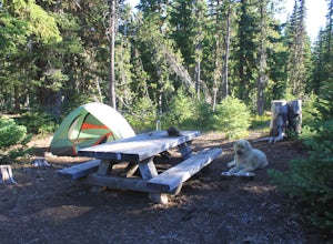
4.5Beautiful spot to set your tent up for a night or longer.About 12 spots scatter the immediate campground area, but while hiking we spotted several more dispersed throughout the towering Ponderosa Pine trees. Most of the spots circle a small lake. The ground in this site is a VERY soft dirt, perfe...Read more -
Bend, Oregon
Camp at Todd Lake
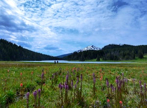
4.0Todd Lake is a beautiful yet small lake just 24 miles West of Bend. Its location is perfect for accessing Broken Top Mountain, and even better for the view of Mount Bachelor.Spend a day at Todd Lake and enjoy fishing (mostly rainbow trout), swimming, and free access to three different locations o...Read more -
Foster, Oregon
Hike the Middle Pyramid
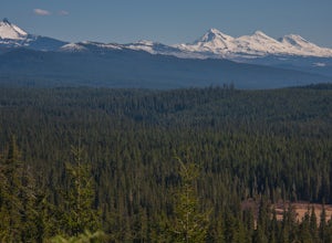
4.5The Three Pyramids, half as tall as the better-known Three Sisters, are beautiful U-shaped glacial valleys, remnants of the Ice Age.To reach the top of Middle Pyramid, leave from the #3380 trailhead at the west end of the parking area. Early on there is a creek crossing (the bridge was still wash...Read more -
Deschutes County, Oregon
Broken Top Trail to No Name Lake
4.74.84 mi / 1198 ft gainThe hike takes you along a glacial lake and to unbeatable mountain views at the end. It’s a hidden gem! The trail isn’t marked and the best way to get there is know someone that’s been before. The lake is unbelievably beautiful with deep blue glacial water and the view of the mountains at the end...Read more -
Sisters, Oregon
Camp at Big Lake
The crystal clear waters of Big Lake sit at an elevation of 4,600 ft. in the Willamette National Forest, on the western slopes of the Cascade Mountain Range. The Big Lake Campground (N 44 22.439 W 121 53.599) lies on the western shore of Big Lake, at the top of the Santiam Pass near Hoodoo Ski Re...Read more -
Bend, Oregon
Tumalo Mountain Trail
4.6There is an official trail to the summit that begins just North of the Dutchman Flat Sno-Park parking area. The trail is signed and states 1.5 miles to the summit. When there is snow on the ground, you will not see the the official trail. You will need snowshoes or skins, but you just head straig...Read more -
Bend, Oregon
Tumalo Mountain Trail
5.04.03 mi / 1430 ft gainStart by parking at Dutchman Flat Sno-Park, which is located just opposite to the base area at Mt. Bachelor. If you're doing this adventure during the summer, late spring, or early autumn you should be able to follow the Tumalo Mountain hiking trail all the way to the top. However, if you're visi...Read more -
Bend, Oregon
Hike Mt. Bachelor Sunrise to Summit
4.56 mi / 2615 ft gainThe Sunrise to Summit Trail on Mt. Bachelor is the easiest and most straightforward way for peakbaggers to reach the summit of one of Central Oregon’s classic volcano climbs. The top boasts views of Broken Top, the Three Sisters, and even Mt. Jefferson beyond. Mt. Bachelor’s official Sunrise to S...Read more -
Sisters, Oregon
Snowshoe to the Mountain View Shelter
5.04 mi / 500 ft gainA short hike from the sno-park, the snow shelter is within an hour's reach of the trailhead. Make sure to print a trail map of the area's routes ahead of time, or take a picture of the map provided in the parking lot, as the network of trails can get you a little lost.From the parking lot, make s...Read more -
Deschutes County, Oregon
Summit Black Crater
5.08 mi / 2211 ft gainThe Black Crater Trailhead parking lot is accessed off the McKenzie Pass (Hwy 242). The trailhead starting elevation is 5,040ft. (using the iPhone app "Topo Maps". Great app) with a 3.8 Mile hike one way to the Black Crater Summit at 7,251ft of elevation. Some parts of the trail are steep and g...Read more -
Deschutes County, Oregon
Chush Falls
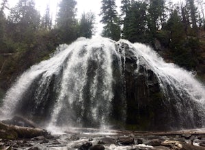
3.35.75 mi / 823 ft gainJust outside of Sisters, Oregon, near Bend, is a beautiful hike to a picturesque waterfall. It is rarely crowded thanks (and no thanks) to the Pole Creek Fire, which ravaged the area several years ago. Because of the fire, the hike and landscape have been drastically altered. What used to be a 2-...Read more -
Sisters, Oregon
Duffy Lake Trail
6.92 mi / 869 ft gainDuffy Lake Trail is an out-and-back trail that takes you by a lake located near Idanha, Oregon.Read more -
Sisters, Oregon
Backpack to Santiam Lake via Duffy Lake Trailhead
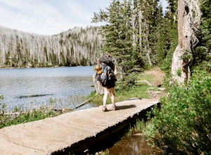
9.94 mi / 1362 ft gainYou start by weaving through an old-growth forest, gaining a little elevation, appreciating the shade, before you come up out and into the alpine forest the majority of the hike will take place in. You will quickly reach your first of many intersections within ~.1 mile into the trail. Be sure t...Read more -
Sisters, Oregon
Backpack to Square and Booth Lakes
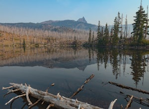
2.08 mi / 240 ft gainThis is an easy access, fairly short backpacking trip to a high mountain lake, which is good for kids. A super dusty, dry and smoke permeated trip to the base of Three Fingered Jack. Forest fires raging throughout the northwest poured smoke in to the entire western half of the state during this A...Read more -
Sisters, Oregon
Three Fingered Jack Loop
3.824.07 mi / 3537 ft gainBegin this 2-3 day backpacking trek at the Santiam Pass trailhead off Highway 20, 31 miles east of Detroit and 21 miles west of Sisters, Oregon. You can begin the loop either north on the PCT or East on trail #4014 towards Square Lake (as it is a loop) I would recommend heading east. It's a 2.2 ...Read more

