Mount Hood Village, Oregon
Top Spots in and near Mount Hood Village
-
Vancouver, Washington
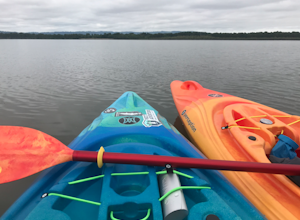
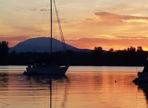
This is a lovely shallow lake for kayaking with spectacular views of Mt Hood and Mt St. Helens on clear days. It’s an ideal spot for beginners to learn water sports including, kayaking, canoeing, paddle boarding and swimming. There is a beach and park available for those afternoon picnics and nap...
Read more
-
Detroit, Oregon
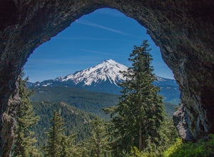
From Highway 22 at the Breitenbush River Bridge, in Detroit, turn north on to French Creek Rd. Drive up French Creek about 7.7 miles to the Upper TH #3379/3381 to Dome Rock and Tumble Lake. The trail can be found on the left side of the road and is easily seen after you pass it. It's best to pass...
Read more
-
Maupin, Oregon
4.4
0.78 mi
/ 177 ft gain
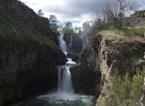
White River Falls is perfect for those looking for an easy hike with great rewards. From the parking lot, it is a brisk walk to a view point, where you can immediately take in the gorgeous falls!
To get down to the bottom of the falls, turn left and begin walking down the trail. You will cross a...
Read more
-
Maupin, Oregon
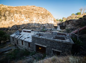
White River Falls is located 35 miles south of The Dalles and 4.5 miles east of Tygh Valley. With only a short walk from the parking area to the viewing area and trails leading down to the water.White River Falls, which is the furthest upstream, drops about 75 feet with multiple channels, and at ...
Read more
-
Ridgefield, Washington
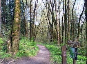
Each trail is well maintained and easy to navigate through the area. All trails are either packed dirt or gravel depending on which trail you’re on. The Douglas-firs, hemlocks, ferns, Oregon grape and many other native tree and plant varieties grow in the area that make the area abound with wild...
Read more
-
Detroit, Oregon
4.0
4.75 mi
/ 1053 ft gain
Triangulation Peak, Spire Rock and Boca Cave TH #3372
The trail starts on level ground where you travel east along the top of the ridge. There are multiple trees that have fallen across the trail making the hike quite adventurous. Some trees you'll go over and some you will need to go under. Dep...
Read more
-
Portland, Oregon
During those summer days when you’re desperately seeking some sand between your toes, open space to soak up the sun, and nature to play around in…Sauvie Island is calling your name.
Located just 10 miles outside of downtown Portland, Sauvie Island offers a convenient rural escape that’s just begg...
Read more
-
Saint Paul, Oregon
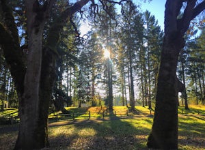
Champoeg was the first town to be settled in the Willamette Valley and the site of the formation of the first government in the northwest. The park offers historical sites as well as plentiful camping and some short day hikes. I decided to do the Townsite loop with my family on black friday #opto...
Read more
-
Detroit, Oregon
4.8
11.4 mi
/ 1926 ft gain
This hike begins 7.5 miles down Whitewater Road at the Whitewater Trailhead, about 10 miles east of Detroit Lake. The road is bumpy, but can be navigated at slow speeds, even without four-wheel drive. Make sure to fill out a wilderness pass once you arrive at the trailhead.
The trail is very wel...
Read more
-
Maupin, Oregon
Spending a day on the lower Deschutes is as rewarding as it gets for a fly-fisherman. The canyon is incredibly beautiful, and the fish are some of the most colorful and athletic you can catch.The mighty Deschutes River is a stunning, blue-ribbon river where people come to fly-fish from around the...
Read more
-
Skamania County, Washington
4.5
6.71 mi
/ 997 ft gain
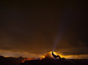
Crowds and mosquitoes were nonexistent as we went a bit early in the season. The trails were all covered in snow, but we were able to do some way finding with a GPS and topo map.
3.5 miles in we found a dry spot next to Blue Lake and set up shop. After dropping off our gear we climbed up Gifford...
Read more
-
Silverton, Oregon
4.6
8.7 mi
/ 1300 ft gain
If you're thinking of hiking the Trail of Ten Falls Loop and staying overnight, there are 42 tent campsites (available from April – Oct) as well as 14 rustic cabins. With multiple beds, heat, electricity, a covered porch, and a small fridge, they provide the perfect respite after a long day of ex...
Read more
-
Drake Crossing, Oregon
4.7
7.16 mi
/ 1178 ft gain
The unique feature of South Falls, Lower South Falls, and Middle North Falls are the paths that pass behind the falls providing an amazing visual and auditory experience; however, be sure to have a good bag for your equipment to avoid water damage and a decent jacket (preferably water-resistant)....
Read more
-
Silverton, Oregon
5.0
2.14 mi
/ 361 ft gain
South Silver Falls is a loop trail that takes you by a river located near Silverton, Oregon.
Read more
-
Lyle, Washington
Located on the Washington side of the Columbia River Gorge heading east on highway 14 at milepost 85. Pull into the parking lot on the right hand side of the road and the trailhead is located by the restrooms. Be cautious on warm days because this is rattlesnake country. There are signs poste...
Read more
-
Skamania County, Washington
The trail begins at the parking for McClellan Overlook. Head out of the parking area and cross over the highway before heading onto a faint, unmarked trail. You may have to do a little routefinding, so it's best to download this map before heading out so you can make sure you stay on path.
This...
Read more

