Mount Hood Village, Oregon
Top Spots in and near Mount Hood Village
-
Detroit, Oregon
5.0
5.09 mi
/ 1594 ft gain
With no officially marked trailhead, this hike begins slightly west of Elk Lake in Marion County. Take Highway 22 to Detroit, OR. East of the bridge over Breitenbush River, turn onto (FR) Forest Road 46, with signs pointing to Breitenbush River. After 4.5 miles turn left at a sign for Elk Lake, a...
Read more
-
Portland, Oregon
Founded in 1928 to conserve endangered species and educate visitors, Hoyt Arboretum is a 190-acre park in the forest above Portland's NW area. It's only 15 minutes from downtown!
There are 12+ miles of trails to explore, my favorite is the Redwood Trail that takes you through towering redwoods a...
Read more
-
Marion County, Oregon
4.3
2.44 mi
/ 741 ft gain
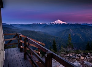
Gold Butte Fire Lookout is a real gem in the Willamette National Forest. At 4618 feet elevation, the nearby Cascade Mountain views are nothing short of spectacular! At the summit, sits a L-4 Ground Structure Type Fire Lookout that was built in1934 to be used as a Fire Lookout. Additionally, durin...
Read more
-
Portland, Oregon
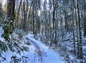
Lower Macleay Park is one of most easily accessible trailheads in the city, especially during one of Portland’s rare snow years where even driving up to 500 feet of elevation can challenge your car. You can park within the park entrance cul-de-sac, around the intersection of Upshur St. & NW 2...
Read more
-
Portland, Oregon
Pittock Mansion offers a one of kind view of downtown Portland. This is a historic site that allows public access throughout the day and night. Parking is available at Pittock until 9pm but if you wish to visit the grounds after hours you can park at the bottom of the driveway, walk around the ga...
Read more
-
498 Old Highway 8, Washington
Sadly because of the devastating Eagle Creek fire on the Oregon side of the Gorge, most of the trails are closed for restoration. As a result more hikers are heading to the Washington side and heading further east for Gorge day hikes. Heading east gets you some sunnier skies and prime wildflower ...
Read more
-
National Forest Development Road 4220, Oregon
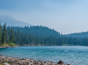
Set out at the Lower Lake trailhead along trail #717. After only half a mile the trail opens up to Lower Lake, with views of Olallie Butte. The trail winds around the north east side of the lake and you come to a junctions with trail #706. From here take the left onto #706 and continue about .6 o...
Read more
-
National Forest Development Road 4220, Oregon
Begin at the Lower Lake Campground and take the Lower Lake trailhead. The best direction to hike is counter clockwise, however you can do either.
Continue along Trail #717 and very shortly you come out to Lower Lake featuring Mt. Jefferson as the backdrop. From here keep hiking and you reach yo...
Read more
-
Tualatin, Oregon
The Tualatin River runs from Hagg Lake, near Forest Grove, then travels through many small towns before it empties into the Willamette River at Willamette Park.Start at the Tualatin Community Park in Tualatin and paddle down to Willamette Park in West Linn. This section offers a few miles of easy...
Read more
-
Carson, Washington
4.8
5.82 mi
/ 1512 ft gain
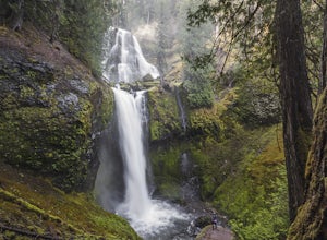
The trail to Falls Creek Falls is well maintained with a few short moderately steep areas. The trail hugs the creek for the first mile, and takes you through old growth trees for the second mile. Once the falls are in sight, make sure to stop and look up to see the top tier through the trees. It'...
Read more
-
Portland, Oregon
4.7
11.47 mi
/ 1608 ft gain
Leif Erikson Drive is a wide dirt road running through the heart of Forest Park that is closed to motorized vehicles…making it a magnet for those looking to add some relatively easy and scenic distance to their workouts.
The road itself is nicely graded and well maintained. It has relatively goo...
Read more
-
Lyons, Oregon
5.0
1.71 mi
/ 312 ft gain
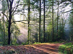
The trail is a washed out, old mining road making its way through a lush forest with a mix of ferns, moss covered trees, and towering Douglas Firs with trees blown over from wind storms lining both sides of the trail. I call those Big Foot traps. The trail comes to a fork, stay to the left you ar...
Read more
-
Lyons, Oregon
To get there from Salem, Follow Hwy. 22 east to Mehama. Turn on Little North Santiam Road (FS 2209) and proceed for 12 miles to Three Pools Day Use Area.
Three Pools is by far one of the most popular swimming holes in the Northwest. With multiple swimming holes within just feet from one another i...
Read more
-
Scotts Mills, Oregon
4.0
0.73 mi
/ 308 ft gain
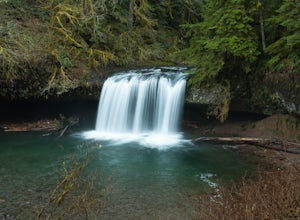
From Scott Mills Follow Crooked Finger RD NE for 13.3 Miles to the Upper Butte Creek Trailhead. The last 2-3 miles or so is gravel road with some potholes but most cars shouldn't have a problem.
The path down to the falls starts near the bathrooms. A short .3 mile walk on a few switchbacks and...
Read more
-
Mosier, Oregon
4.0
3.56 mi
/ 1168 ft gain
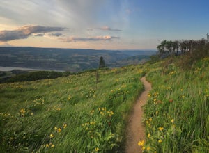
The trail begins at the Rowena Crest Overlook on the Old Columbia River Highway between Hood River and the Dalles. Park at the Rowena Overlook, and you find the trail on the south side of the area. Follow the trail to the top of McCall Point. The trail is fairly level at first but then climbs ste...
Read more
-
Mosier, Oregon
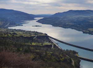
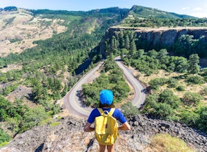
If you're looking for a minimal effort pit stop on the drive through the Columbia River Gorge with huge bang for your buck, this is the spot. Rowena Crest is an iconic viewpoint that creates a horseshoe curve along the road. This unique shape is one of the most photographed roads in Oregon. It's ...
Read more

