Kennett Square, Pennsylvania
Looking for the best photography in Kennett Square? We've got you covered with the top trails, trips, hiking, backpacking, camping and more around Kennett Square. The detailed guides, photos, and reviews are all submitted by the Outbound community.
Top Photography Spots in and near Kennett Square
-
North East, Maryland
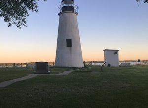
Hike to the Turkey Point Lighthouse in Elk Neck SP
3.01.6 mi / 60 ft gainThis hike begins from the parking lot trailhead that is well-marked. Be cautious - parking is limited and may be full on weekends, and the paved road suddenly ends at the parking lot entrance. The path is crushed stone, wide, and relatively flat. Dogs are welcome but must be on leashes. On th...Read more -
Philadelphia, Pennsylvania
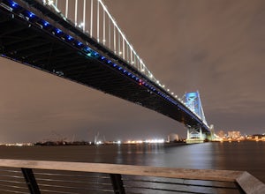
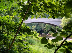
Photograph the Benjamin Franklin Bridge
3.7Apart from Penn's Landing being a cool place for tourism or to hang out and visit, it's also quite a nice place to photograph. I've gotten the chance to take some shots while my friends were bugging me to leave, but it's still a must go to place for photographers no matter their skill level. Make...Read more -
Airville, Pennsylvania
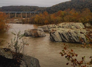
Hike the Mason-Dixon Trail to Peavine Island
2 miThe Mason-Dixon Trail is a 200-mile trail that begins and ends in Pennsylvania, passing through Maryland and Delaware along the way. The trail connects the AT to the Brandywine Trail and spends considerable time adjacent to the wide and wondrous Susquehanna River. One of the Mason-Dixon trail's m...Read more -
Airville, Pennsylvania
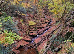
Explore Mill Creek Falls
It's not too hard to find the Mill Creek Falls; you can see it from the parking lot. This is an ideal spot if you just need a quick fix of something beautiful. From the road, follow the blue blazes of the Mason-Dixon Trail up the hill. After you admire and photograph the falls, consider hiking t...Read more -
Bel Air, Maryland
Hike the Deer Creek Trail
5.02 miBecause Palmer State Park is still under development (with no timeline given for its completion), there are only a few trails that meander through this 555-acre reserve. Palmer's official website offers a not-so-helpful topographical map, but the easiest way into the park that I could find was ne...Read more -
Pylesville, Maryland
Hike to Kilgore Falls
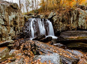
3.81.2 miThis 1.2 mile roundtrip hike leads to the second tallest waterfall in the state of Maryland. It is a short hike that's great for families and bringing the dog. In the warmer months, you can swim in the pool at the base of the waterfall. People have cliff jumped here, but exercise caution and do s...Read more -
Smyrna, Delaware
Explore Bombay Hook National Wildlife Refuge
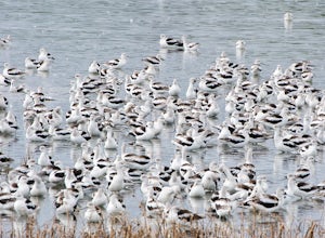
5.012 miBombay Hook National Wildlife Refuge is one of the largest expanses of tidal salt marsh in the mid-Atlantic, and is nestled on the Eastern shores of Kent County, Delaware. Upon arriving at the refuge, there is a small visitor center with maps, a video presentation, restrooms, and educational exhi...Read more -
Doylestown, Pennsylvania
Photograph the Peace Valley Lavender Fields
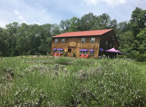
4.0Capture the beautiful barn house shop on a farm while taking in the wonderful scent of lavender. Peace Valley Lavender Farm is open during the day and sells a plethora of lavender products from soaps to eats. Pull into the driveway and park behind the barn house for free. It's a wonderful spot f...Read more -
Doylestown, Pennsylvania
Birdwatch at Peace Valley Park
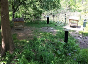
The feeder area is located in Peace Valley Park, tucked right behind the Peace Valley Nature Center. Here is where you'll find many unique smaller species. The shelter is covered and has several benches to relax on as you watch and photograph many varieties of birds. I've seen many blue jays and ...Read more -
Kingsville, Maryland
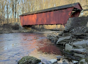
Hike the Jerusalem Village Trail & Jericho Covered Bridge Trail
4.3 mi / 341 ft gainThis is a moderately rated hike that features a river and quite a few hilly sections. The trail is known to be rather muddy, so be sure to wear appropriate waterproof footwear. Note that some sections of the trail are not well marked. You may want to review a map before embarking. There is park...Read more -
Marietta, Pennsylvania
Climb At Chickies Rock
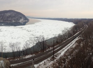
From parking at the fairly new lot on Furnace Road, head down river on the walking trail about a half mile to an obvious large face next to the train tracks. From here you choose from a variety of routes including some two pitch routes like Witches’ Brew 5.4 to Main Street 5.5 over to some of the...Read more -
Baltimore, Maryland
Paddle Dundee Creek
1.5 miFollow the main entrance road down and to the right of the nature center to a turn around loop, where a car can be temporarily parked to unload/load boats onto the pier. You can launch canoes and kayaks on the end of the pier which goes directly out to Dundee Creek. From the launch site, paddlers...Read more

