Lawrenceville, Pennsylvania
Looking for the best chillin in Lawrenceville? We've got you covered with the top trails, trips, hiking, backpacking, camping and more around Lawrenceville. The detailed guides, photos, and reviews are all submitted by the Outbound community.
Top Chillin Spots in and near Lawrenceville
-
Brown Township, Pennsylvania
Hike the Gas Line Ridge Loop
3.8 mi / 900 ft gainPark at the end of Naval Run Road, at the end of the road to the right, follow the sign for Lance Raisch Trail marked with yellow blazes. This is the first of three trails that this loop will use. The Lance Raisch Trail climbs in elevation along Naval Run and after about a quarter mile will ins...Read more -
Ithaca, New York
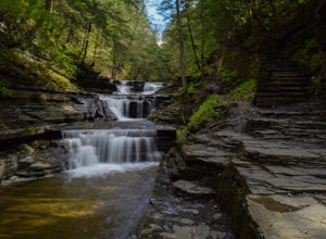
Hike the Gorge Trail at Buttermilk Falls
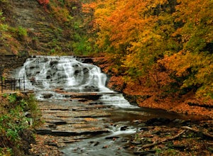
5.01.7 mi / 500 ft gainThe Gorge Trail starts to the right at the base of the last cascading waterfall you see as you enter the park. From here you begin hiking into the heart of the gorge following Buttermilk Creek to a bridge where you can turn around or continue exploring.The trail features several large cascading f...Read more -
Coudersport, Pennsylvania
Camp at Cherry Springs State Park
4.61 miCherry Springs State Park was my first ever International Dark Sky Park and it stole my heart, and I promise it will steal yours too.The park itself is very quaint, but don't let it's size deter you! The park is still as remote and wild as it was nearly two centuries ago, and that's nearly imposs...Read more -
Montoursville, Pennsylvania
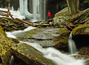
Hike to Jacoby Run Falls
4.03.3 mi / 341 ft gainThe trailhead is at a large gravel parking area off of Wallis Run Road. The trail begins on a boardwalk over a wetland that leads into hemlock forest and mixed hardwoods.The yellow blazed trail follows Jacoby Hollow at a steady slight incline and leads to the 45 foot Jacoby Falls. Best times to...Read more -
Ithaca, New York
Hike the Six Mile Creek Natural Area
5.04.5 mi / 250 ft gainThe East Ithaca Recreational Walkway, which traverses the Six Mile Creek Natural Area, can be accessed at the parking areas on Burns Rd. or Coddington Rd. The walkway, which used to be a railroad, runs flat and straight from East to West. From the walkway, other smaller trails can be accessed t...Read more -
Trumansburg, New York
Explore Smith Woods
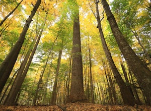
5.00.5 mi / -30 ft gainSmith Woods is a 32 acre old growth forest in Trumansburg, NY, directly across from the Trumansburg Fairgrounds. Start by parking in the Shur Save parking lot, and walk to the corner of the woods where you will find a sign and trail blazes. The trail is an easy .5 mile loop hike through the wood...Read more -
Ithaca, New York
Hike the Cascadilla Gorge Trail
5.01.1 mi / 300 ft gainThe Cascadilla Creek Gorge is the perfect retreat from Cornell campus or downtown Ithaca into serene natural surroundings. This short trail will take you down 400 feet past multiple waterfalls, through lush, green forest and 400 million year old bedrock. It will be tough to believe you didn't hav...Read more -
Waterville, Pennsylvania
Kayak and Fish at Little Pine Lake
5.0Little Pine State Park is a beautiful park in Lycoming County, Pennsylvania near Waterville. The lake is just above the campground and dam. Follow the signs at the picnic area to the boat launch.The lake offers a variety of fishing, stocked and native trout, smallmouth bass, pickerel, sunfish, ...Read more -
Williamsport, Pennsylvania
Rough Hill Trail
1.94 mi / 663 ft gainAccess to Rough Hill Trail is easy to locate, it is the same parking as Sandy Bottom Access to the Loyalsock Creek and there is a large sign at the turn off on route 87. Once you are in the parking area, there is clear signage for the trail and it is blazed yellow initially following back past ...Read more -
Trumansburg, New York
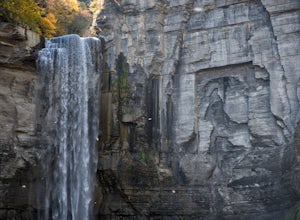
Taughannock Falls Overlook
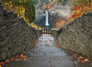
4.8This is a quick and easy hike leading to an incredible 214 foot waterfall that is beautiful in all four seasons. Bring the whole family and hangout by the falls for the afternoon, weather permitting. During the winter, the falls transform the surrounding cliffs into a wall of ice and snow, but in...Read more -
Forksville, Pennsylvania
Camp at World's End Park Campground
5.0World's End Campground is tucked into a valley in the Loyalsock State Forest. Recreational opportunities abound here. Lay low and explore the valley, hike to the ridges and take in the views, or play in the Loyalsock creek which runs by the campground. The lush Pennsylvania wilderness makes for a...Read more -
Brooktondale, New York
Camp at the Shindagin Hollow Lean-To
4.51 mi / 150 ft gainFrom the parking spot on Prospect Valley Rd., cross the footbridge as part of the Finger Lakes Trail due East. The trail will be marked with white blazes. As you follow the blazes you will hike up for about 0.5 miles, increasing elevation by about 150ft, and then down 30-50 ft for 0.2 miles befo...Read more -
Trumansburg, New York
Gorge Trail to Taughannock Falls
4.91.95 mi / 364 ft gainThe trailhead is located right off NY Route 89 with plenty of parking just across the street from it. Be sure to take your camera and tripod because these 215 ft tall falls are a sight to see! The hike to the base of the falls is a very easy 1.5 miles out and back. In the summer months the trai...Read more -
Muncy Valley, Pennsylvania
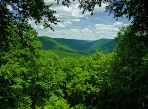
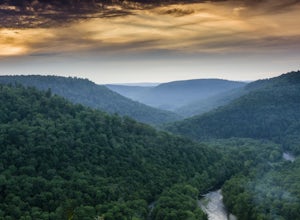
Photograph The Loyalsock Canyon Vista
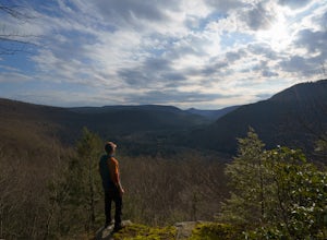
4.0Take a drive to World's End State Park through the Loyalsock Valley and enjoy a great view. Once you enter the state park via 154, drive past the main parking area and take a right onto Mineral Spring Road and follow it until you take a left onto Cold Run Road. The road up is about two miles - wh...Read more -
Ithaca, New York
Run the Sapsucker Woods Trails
4 miThere are two main sets of trails available for walking/running on. The trails connect across a small road and can be made into about a 4 mile loop if you run some of the interior loops as well. The trails are made of either wood-chips or boardwalks, and hold up to some snow and rain very well. T...Read more -
Muncy Valley, Pennsylvania
Gipson Falls
1 miGipson Falls is the other waterfall on Falls Run just off the Loyalsock Trail. There is a parking area for the Loyalsock Trail on Brunnerdale Road just off of Ogdonia Road. From the parking follow the Loyalsock Trail along the run for about .5 miles, once the Loyalsock Trail turns right and he...Read more

