Tioga, Pennsylvania
Looking for the best photography in Tioga? We've got you covered with the top trails, trips, hiking, backpacking, camping and more around Tioga. The detailed guides, photos, and reviews are all submitted by the Outbound community.
Top Photography Spots in and near Tioga
-
Muncy Valley, Pennsylvania
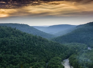
Photograph The Loyalsock Canyon Vista
4.0Take a drive to World's End State Park through the Loyalsock Valley and enjoy a great view. Once you enter the state park via 154, drive past the main parking area and take a right onto Mineral Spring Road and follow it until you take a left onto Cold Run Road. The road up is about two miles - wh...Read more -
Waterville, Pennsylvania
Hike the Lake Shore Trail at Little Pine State Park
5.05 miOnce you pass the famous Happy Acres Resort you better slow down. Coming up quickly on your right is the parking area for the Lake Shore Trail.The trails uses the Little Pine Creek damn as its starting point, which itself is a great place to sit and watch for birds, but to have the best experienc...Read more -
Muncy Valley, Pennsylvania
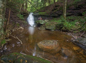
Mineral Springs Falls
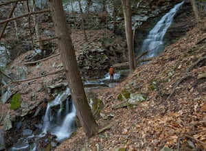
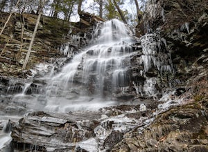
0.25 miMineral Springs is a roadside waterfall near Worlds End State Park. It is worth the stop to photograph and fairly easy to move around on either side of the run to get different angles. This is a run not far from Canyon Vista which is another popular spot. The waterfall sits just off Mineral Sp...Read more -
Newfield, New York
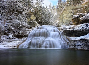
Hike Treman State Park
5.03 mi / -400 ft gainStarting in the parking area, choose which direction of the loop to take (all of which will take you to Lucifer Falls). You can choose to do a shorter, 1 - mile loop around the falls, or go further to the lower section of the park (approximately 3 miles).There is also a campground conveniently l...Read more -
Coudersport, Pennsylvania
Camp at Cherry Springs State Park
4.61 miCherry Springs State Park was my first ever International Dark Sky Park and it stole my heart, and I promise it will steal yours too.The park itself is very quaint, but don't let it's size deter you! The park is still as remote and wild as it was nearly two centuries ago, and that's nearly imposs...Read more -
Muncy Valley, Pennsylvania
Gipson Falls
1 miGipson Falls is the other waterfall on Falls Run just off the Loyalsock Trail. There is a parking area for the Loyalsock Trail on Brunnerdale Road just off of Ogdonia Road. From the parking follow the Loyalsock Trail along the run for about .5 miles, once the Loyalsock Trail turns right and he...Read more -
Muncy Valley, Pennsylvania
Angel Falls
4.02.9 mi / 771 ft gainThis is a moderate hike that does involve some uphill hiking to reach the top of the plateau and some downhill hiking to reach the base of the waterfall. Angel Falls is relatively easy to find though, with the Loyalsock Trail leading to a clear side trail that takes you straight to the top of the...Read more -
Ithaca, New York
Hike Sweedler Preserve at Lick Brook
5.01.6 mi / 500 ft gainTrailheads and parking are on both Sandbank and Townline Roads, with elevations ranging from 280-330m. Follow the white blazes of the Finger Lakes trail downhill with views of the gorge, and wind through massive oak and maple trees. At the bottom of the hill (about 100m of elevation), you can en...Read more -
Ithaca, New York
Hike the Thayer Preserve Loop at Lick Brook
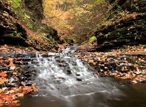
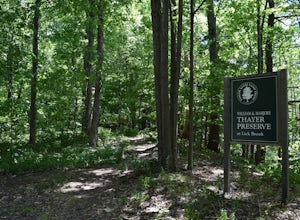
0.8 mi / 100 ft gainOn Townline road, park at the pulloff where you'll see arrows pointing to the "Thayer Loop Trail" and a kiosk describing the trail. This trail is a short trail that travels along the side of Lick Brook overlooking several small cascades and waterfalls. For a section it also passes by a small farm...Read more -
Ithaca, New York
Hike the Gorge Trail at Buttermilk Falls
5.01.7 mi / 500 ft gainThe Gorge Trail starts to the right at the base of the last cascading waterfall you see as you enter the park. From here you begin hiking into the heart of the gorge following Buttermilk Creek to a bridge where you can turn around or continue exploring.The trail features several large cascading f...Read more -
Ithaca, New York
Hike Coy Glen
5.02 mi / 689 ft gainBefore starting this hike, please make sure you have permission to access Cornell Botanic Gardens. Starting at the parking space on Elm St. Extension, follow the trail downhill until you reach the bed of the creek. The creek becomes the trail at this point, and you will need to navigate it appr...Read more -
Ithaca, New York
Hike the Eldridge Wilderness Loop
2.3 mi / 0 ft gainPark in the designated lot directly off Troy Rd and begin the loop at the only trail entering the parking area (the lot only holds about 4-5 vehicles). Because this is a loop trial, when it splits after 200 yards take either route and still end at the parking area. The loop is 2.3 miles long and ...Read more -
Dushore, Pennsylvania
Hike the Haystacks Rapids and Dutchman Falls
5.03.9 mi / 425 ft gainThe Haystacks is a great end of the overall Loyalsock Trail. It is easily accessible, and fairly a gentile trail, however, the beginning is still a relatively rocky and will require some initial effort. When the trail intersects the rail road grade, you can turn left and take the path with the ye...Read more -
Ithaca, New York
Hike the Six Mile Creek Natural Area
5.04.5 mi / 250 ft gainThe East Ithaca Recreational Walkway, which traverses the Six Mile Creek Natural Area, can be accessed at the parking areas on Burns Rd. or Coddington Rd. The walkway, which used to be a railroad, runs flat and straight from East to West. From the walkway, other smaller trails can be accessed t...Read more -
Brooktondale, New York
Camp at the Shindagin Hollow Lean-To
4.51 mi / 150 ft gainFrom the parking spot on Prospect Valley Rd., cross the footbridge as part of the Finger Lakes Trail due East. The trail will be marked with white blazes. As you follow the blazes you will hike up for about 0.5 miles, increasing elevation by about 150ft, and then down 30-50 ft for 0.2 miles befo...Read more -
Williamsport, Pennsylvania
Kayak from Susquehanna State Park
This adventure can be started from the boat launch at Susquehanna State Park in Williamsport, PA. The river is slow moving and calm in this section. Since the river is slow you can easily paddle up river and then return to the same boat launch. A short round trip can be made by paddling west ...Read more

