Waterville, Pennsylvania
Looking for the best chillin in Waterville? We've got you covered with the top trails, trips, hiking, backpacking, camping and more around Waterville. The detailed guides, photos, and reviews are all submitted by the Outbound community.
Top Chillin Spots in and near Waterville
-
Williamsport, Pennsylvania
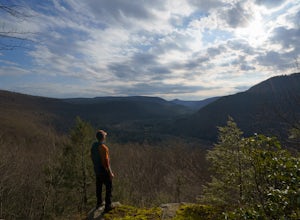
Rough Hill Trail
1.94 mi / 663 ft gainAccess to Rough Hill Trail is easy to locate, it is the same parking as Sandy Bottom Access to the Loyalsock Creek and there is a large sign at the turn off on route 87. Once you are in the parking area, there is clear signage for the trail and it is blazed yellow initially following back past ...Read more -
Coudersport, Pennsylvania
Camp at Cherry Springs State Park
4.61 miCherry Springs State Park was my first ever International Dark Sky Park and it stole my heart, and I promise it will steal yours too.The park itself is very quaint, but don't let it's size deter you! The park is still as remote and wild as it was nearly two centuries ago, and that's nearly imposs...Read more -
Forksville, Pennsylvania
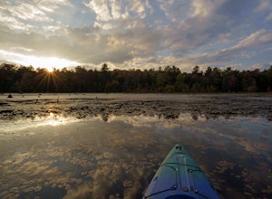
Catch a Sunset on Bear Wallow Pond
Bear Wallow Pond is classified as a 22 acre lake in Sullivan County, Pennsylvania found on some mountain roads. It is small, but still big enough to explore around and enjoy a relaxing paddle through lily pads. There is an easy access boat launch to launch your kayak or canoe and descent siz...Read more -
Forksville, Pennsylvania
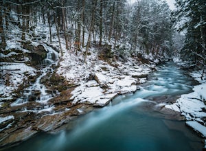
High Bridge Falls/Hoagland Branch
This beautiful photogenic spot in Loyalsock State Forest is viewable as you drive by, but be sure to stop and take some photos. The Hoagland Branch Road (gravel forest road) drives right by this scenic waterfall and waterway, you will see it while crossing on a small bridge. There is a pull off ...Read more -
Muncy Valley, Pennsylvania
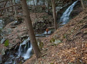
Gipson Falls
1 miGipson Falls is the other waterfall on Falls Run just off the Loyalsock Trail. There is a parking area for the Loyalsock Trail on Brunnerdale Road just off of Ogdonia Road. From the parking follow the Loyalsock Trail along the run for about .5 miles, once the Loyalsock Trail turns right and he...Read more -
Emporium, Pennsylvania
Drive Ridge Road in Elk State Forest
3 miA drive along Ridge Road will bring you to five scenic vistas looking out over remote Elk State Forest. You can drive the road and simply stop at the vistas, or you can do an out and back hike from anywhere along the road. On my last visit, I parked at the southern most vista, Square Timber Vist...Read more -
Forksville, Pennsylvania
Camp at World's End Park Campground
5.0World's End Campground is tucked into a valley in the Loyalsock State Forest. Recreational opportunities abound here. Lay low and explore the valley, hike to the ridges and take in the views, or play in the Loyalsock creek which runs by the campground. The lush Pennsylvania wilderness makes for a...Read more -
Muncy Valley, Pennsylvania
Photograph The Loyalsock Canyon Vista
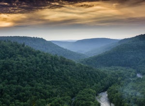
4.0Take a drive to World's End State Park through the Loyalsock Valley and enjoy a great view. Once you enter the state park via 154, drive past the main parking area and take a right onto Mineral Spring Road and follow it until you take a left onto Cold Run Road. The road up is about two miles - wh...Read more -
Driftwood, Pennsylvania
Table Falls
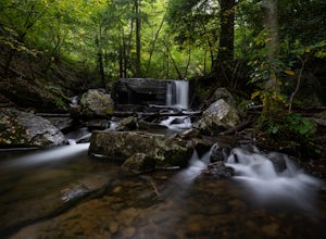
The Quehanna Wild Area is an amazing place and Table Falls is one of the easy to get to spots to explore. There is a small parking for a couple cars on the forest road, Red Run Road. The road will have a U bend over Paige Run and parking is just after the bridge. There is a sign and some blazes ...Read more

