Keystone, South Dakota
Looking for the best hiking in Keystone? We've got you covered with the top trails, trips, hiking, backpacking, camping and more around Keystone. The detailed guides, photos, and reviews are all submitted by the Outbound community.
Top Hiking Spots in and near Keystone
-
Keystone, South Dakota
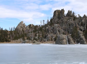
Sylvan Lake Shore Trail
5.01.1 mi / 39 ft gainSylvan Lake Shore Trail is a loop trail that takes you by a lake located near Custer, South Dakota.Read more -
Keystone, South Dakota
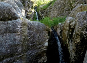
Hike Sunday Gulch Loop
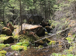
5.02.8 mi / 400 ft gainTo get to Sunday Gulch Trail you will need to walk around Sylvan Lake to the Northwest End of the Lake, there is a loop all the way around the lake, so either way will take you there. You will see a sign for Sunday Gulch Trail, it is trail #6. The trail itself can be quite steep in places but it...Read more -
Custer, South Dakota
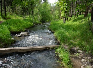
Hike Grace Coolidge Walk-In Area
6 mi / 150 ft gainGrace Coolidge Walk-In area is a fantastic place to go for a hike and do some fly fishing! There are 6 dams built along the 3 mile trail. You can start on either from Center Lake off of Playhouse Rd. or you can start at the southern trailhead near Highway 16A, that is not too far west from the St...Read more -
Custer, South Dakota
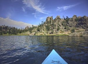
Kayak Sylvan Lake
4.02 miThere are a few reservoirs within the hot and dry Black Hills of South Dakota. The water here comes from the harsh winter month's snowpack or frequent afternoon thunderstorms. Sylvan Lake in the town of Custer offers many activities thanks to it's unique and rugged terrain. Hiking, biking, rock c...Read more -
Custer, South Dakota
Hike the Stockade Lake Trail
1.2 mi / 500 ft gainThe trail starts near the East side of Stockade Lake just outside Custer, South Dakota. The trail is a 1.2 mile loop, and climbs up to 5,650 feet above sea level. The trail is easy to follow and is well worn. Also the trees have blue diamonds nailed to them for even easier route finding. Once you...Read more -
Rapid City, South Dakota
Hike to Falling Rock Overlook
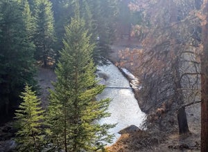
0.5 mi / 50 ft gainThe beautiful hike is a tremendous spot to get out of town and enjoy the scenery and a great view of Rapid Creek down in the canyon below. Parking is right off Falling Rock Rd. then the trail is a very well marked path through the trees, easy to follow, and leads you right to the edge of limesto...Read more -
Custer, South Dakota
Hike the Custer Skywalk to Big Rock Observation Point
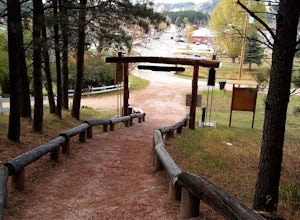
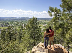
0.6 mi / 370 ft gainPark on the South end of 6th Street at Harbach Park in Custer, just 2 blocks off Main Street. The entrance to the trail is marked by an archway and a "Custer Skywalk" sign. The path is a dirt/small gravel trail that has stairs built into the hillside. To get to the first observation point it is a...Read more -
Custer, South Dakota
Fly Fish French Creek
0.5 mi / 15 ft gainThe creek has two main sections, there is Upper French Creek and Lower French creek, the upper/lower refer to the section of creek above or below Stockade Lake. The better fishing is below Stockade Lake. There you can find numerous sections of the creek that are on public land and easily accessib...Read more -
Rapid City, South Dakota
Fly Fish from the Rapid Creek Trailhead
2 miTo get the the trailhead for Rapid Creek you must turn to the east onto Pactola Basin Road or FS road 164 when on Highway 385 crossing the Pactola Reservoir. The road down to the trailhead is steep and can be rough depending on the time of the year. Once at the trailhead there is a parking area, ...Read more -
Rapid City, South Dakota
Explore the Skyline Wilderness Area
3 mi / 0 ft gainDividing Rapid City's East and West sides, the Skyline Wilderness Area is a 150-acre park that features numerous walking, biking and hiking trails. This area can also be enjoyed as a beautiful drive that offers one of the best views of Rapid City. The road stretches about two miles long and giv...Read more -
Rapid City, South Dakota
Hike the Deerfield Lake Trail to Slate Creek Convergence
5 mi / 60 ft gainThe Deerfield Lake trail is overall 23 miles long, but this post is just about the section of the trail that starts at Silver City where Rapid Creek flows into Pactola Reservoir, and follows the creek upstream to where Slate Creek converges, about 2.5 miles from the trailhead. You could follow th...Read more -
Rapid City, South Dakota
M Hill
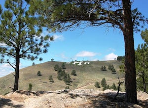
1.56 mi / 381 ft gainM Hill is a loop trail that takes you by a river located near Rapid City, South Dakota.Read more -
Hill City, South Dakota
Camp at Castle Creek Campground
5.00.25 mi / 0 ft gainCastle Creek is a challenging place to get to, the road in the off seasons can be even more difficult. In the spring/early summer when the road is wet it can become rutted. There is one road to get to the campground from the East from Mystic it is about 8 rough narrow miles, but you could arrive ...Read more -
Black Hawk, South Dakota
Hike Botany Canyon
5 mi / 807 ft gainAfter reaching the trailhead, the first couple miles are forest service road. You'll want to follow the main FSR, do not branch off onto any of the smaller dirt roads. The turn off to go down into the canyon is very easy to miss. It will be on your right hand side after a small patch of trees, th...Read more -
Custer, South Dakota
Hike the Lookout Point Loop at Wind Cave National Park
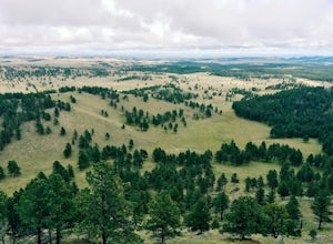
3.54.5 miThe Lookout Point Loop actually combines parts of three trails to bring you through some of Wind Cave's best prairieland. Begin at the trailhead for Centennial and Lookout Point off of Hwy 87 and take Lookout Point trail east to Beaver Creek. At Beaver Creek, you'll catch the Highland Creek Trail...Read more -
Custer, South Dakota
Tour Jewel Cave
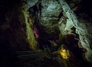
4.00.5 mi / 20 ft gainEstablished in 1908, Jewel Cave National Monument is home to over 179 miles of mapped cave passages. The cave features larger chambers and more interesting formations then nearby Wind Cave NP, and much of it is covered in spar crystals.A guided tour is the only way to see the cave system unless y...Read more
Top Activities
Go Great Places in South Dakota
In the Mount Rushmore state, travels to South Dakota are full of one-of-a-kind adventure with wide-open spaces as endless as the horizons. Between legendary landscapes and scenic drives, you can always find space that shifts life into park. When you’re ready, go great places.
Learn More

