Alta, Utah
Looking for the best hiking in Alta? We've got you covered with the top trails, trips, hiking, backpacking, camping and more around Alta. The detailed guides, photos, and reviews are all submitted by the Outbound community.
Top Hiking Spots in and near Alta
-
Alta, Utah
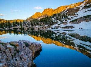
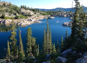
Cecret Lake
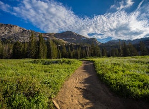
4.41.78 mi / 509 ft gainCecret Lake is reached by driving up Little Cottonwood Canyon to Albion Basin above Alta Ski Resort. The hike is just under 1 mile to the lake and should take about 30 minutes. The hike goes through fields full of wildflowers and wildlife is abundant. Moose, deer, and various wildlife can be s...Read more -
Salt Lake City, Utah
Hike Catherine Pass
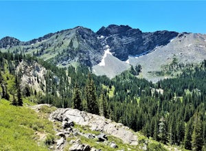
4 mi / 1115 ft gainCatherine Pass is a must do if you are in the Salt Lake vicinity in July. The wildflowers are mind-blowing. But it’s a great hike to do in the Spring, after Alta Ski Resort has closed, and the Fall as well. It costs $6 per vehicle to drive to the trailhead, or $10 per person to ride the lift (if...Read more -
Salt Lake City, Utah
Backpack Lake Catherine and Bag Sunset Peak
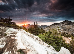
3.53 mi / 1200 ft gainAny chance to get into the backcountry of the Wasatch Mountains is worth it. Many people day hike in the area, but not very many backpack in. The trail meets up with the Great Western Trail and overlooks Lake Catherine. The best place to camp is in the woods next to the lake. Hike down to the lak...Read more -
Salt Lake City, Utah
Hike Mount Wolverine
4 mi / 1425 ft gainThis mountain can be conquered two ways and is a great after-work adventure to watch the sunset, an early morning trail run, or a fun family challenge. The trail is 4 miles and 1,425 feet elevation gain (from the Alta side) or 6 miles and 2,050 feet (from the Brighton side). Both routes converge ...Read more -
Alta, Utah
Cecret Lake from Albion Basin
4.94.48 mi / 1214 ft gainThe out-and-back trail from Albion Basin to Cecret Lake climbs a gentle slope and along the way there are interpretive signs with information about the basin, its plants, animals and geology. From the lake you can return the same way you came, or explore the area more. If you head there during t...Read more -
Alta, Utah
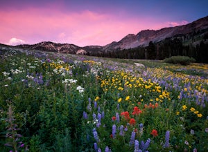
Albion Meadows Trail
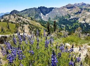
4.92.86 mi / 696 ft gainAt Albion Basin, wildflowers you will see include lupine, Indian paintbrush, American bistort, sunflowers, fireweed, and many more! Drive to the very top of Little Cottonwood Canyon and park at the Albion Grill. There is a trail just behind the Grill that takes you through a variety of wildflowe...Read more -
Alta, Utah
Backcountry Ski Grizzly Gulch
1.5 mi / 1400 ft gainTo get to the Grizzly Gulch trailhead, drive up Little Cottonwood until you reach Alta Ski Resort. Keep left along the road and park in the upper Alta parking lot. Head up the cat track with all the cats and snowmobiles parked to the side. About 100 yards up, you'll take a left and head up the st...Read more -
Alta, Utah
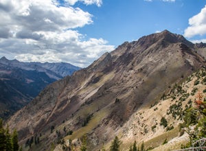
Hike Mt. Superior and Monte Cristo
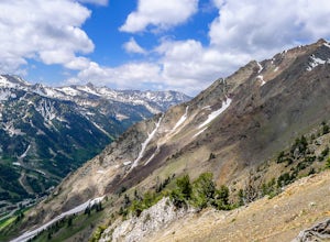
5.06.25 mi / 2500 ft gainMt. Superior, and its close neighbor, Monte Cristo, are two of the most iconic peaks in Little Cottonwood Canyon. Looming over Alta and Snowbird Ski resorts from the north side of the canyon, these two peaks dominate the Little Cottonwood skyline. Mt. Superior tops out at 11,132 feet, and Monte C...Read more -
Alta, Utah
Hike and Scramble Mount Superior
5.05 miThis is an intermediate to advanced hike. Scrambling up the ridge is more difficult but can be done by anyone with patience and a few maneuvering skills. It is best climbed in the summer months when the ridge is free of snow. However, it makes for a good winter climb for more technical experience...Read more -
Alta, Utah
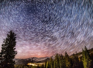
Stargazing and Night Photography at Hellgate Spring
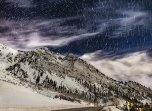
From the base of Little Cottonwood Canyon, follow the road approximately 7 miles until you reach the area between the Snowbird and Alta ski resorts. Looking north, several mountain peaks are visible, including both Mount Superior and Hellgate Spring. The mountain face of Hellgate Spring (GPS coor...Read more -
Sandy, Utah
Hike and Climb the S. Ridge of Mt. Superior
4.54.5 mi / 1800 ft gainApproach: Start by parking on the side of the road just above the Snowbird Cliff Lodge. Then there will be some bushwhacking as you work your way up the southern slopes of Mount Superior following the path of least resistance until reaching the winter avalanche path under the south face and to th...Read more -
Sandy, Utah
Backcountry Ski Suicide Chute on Mt. Superior
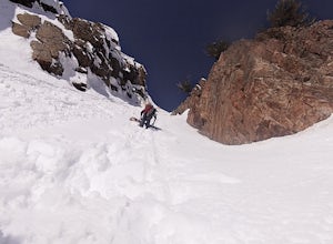
5.00.6 mi / 1245 ft gainFirst of all it's not as scary as it sounds, or as scary as it looks. That being said it's a steep chute in dangerous avalanche terrain so only experienced skiers with backcountry skiing knowledge/equipment should attempt this route.Suicide Chute is located on the South face of Mt. Superior in L...Read more -
Sandy, Utah
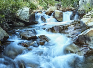
Photograph Little Cottonwood Creek at Snowbird
2.0Little Cottonwood Creek flows right through Snowbird Ski Resort and there are a few beautiful locations to go shoot the river at. The best place to start hiking down the river is right by where the tram takes off. That is just below the Cliff Lodge and right by the Peruvian Lift. There's a res...Read more -
Salt Lake City, Utah
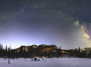
Night Photography at Brighton
4.01 mi / 500 ft gainPark at the main parking lot at Brighton Ski Resort and head up the hill (under the Majestic Lift is a good place to start). Hiking is generally easy, even with snow on the ground, due to compaction of the snowpack during the daytime. However, snowshoeing and skinning with skis can be a good alte...Read more -
Brighton, Utah
Hike Lakes Mary, Martha and Catherine (Brighton Lakes)
4.64.41 mi / 1253 ft gainThis trail is a local favorite because you can make it as hard or as easy as you want it to be! You can stop at the first lake which is only 1 mile from the parkinglot, or you can go to the top of one or more of the 5 peaks that are surrounding the lakes for an added challenge. It is 3.5 miles ro...Read more -
Brighton, Utah
Photograph Star Trails at Silver Lake
1 miSilver Lake is one of the easiest, most accessible hikes in the Wasatch, located at the top of Big Cottonwood Canyon, Utah, close to the ski resorts of Brighton and Solitude.The lake is accessible all year; with a boardwalk or a well-signed path circling the lake through spring to fall. In the wi...Read more

