Alta, Utah
Top Spots in and near Alta
-
Salt Lake City, Utah
Backcountry Ski Willow Fork
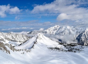
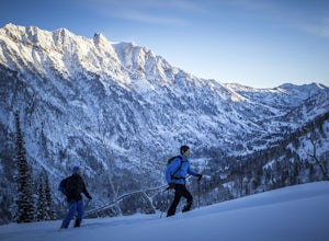
3 mi / 1700 ft gainWillow Fork is just across the mountain from Solitude Ski Resort in Big Cottonwood Canyon. You can access Willow Fork from a few different trailheads; either from the Willow Heights Trailhead or across the street from both the lower and upper Solitude parking lots. The Willow Heights Trailhead wi...Read more -
Salt Lake County, Utah
Willow Lake
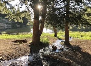
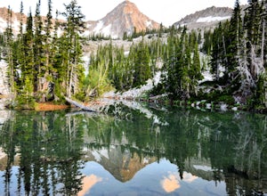
4.52.41 mi / 659 ft gainThe Trail: Follow the marked trail and you'll hike less than a mile up to the edge of Willow Lake. Moose like to hang out in the thick willows there, so make lots of noise to warn them that you're coming and you won't startle any. Standing on the shoreline, you'll have a great view of Solitude ...Read more -
Salt Lake City, Utah
Camp at Willow Lake
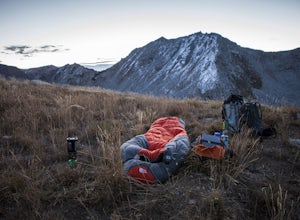
4.62.41 mi / 659 ft gainThe trailhead to Willow Lake is about 11 miles up Big Cottonwood Canyon and is on the north side of the road right after the passing lane begins. It can be easy to miss, and is only marked with a plaque on a rock (40.630302, -111.604639). As you hike a little in from the road you will see the tra...Read more -
Salt Lake City, Utah
Mountain Bike the Wasatch Crest Trail
5.0There are two popular starting points from Guardsman Road. The lower trail climbs and the higher one trail descends, then they converge at Scott's Pass below Puke Hill. The shuttled ride ends with a pavement rush down Mill Creek Canyon (and a possible detour onto Mill Creek Pipeline on the way do...Read more -
Salt Lake City, Utah
Backpack to Bloods and Lackawaxen Lakes
4.84 mi / 1040 ft gainThis trail is just outside of Big Cottonwood Canyon which forbids both dogs and swimming due to the Salt Lake watershed. As a result, dogs and swimming are more than welcome. Blood Lake and Lackawaxen Lake Trailhead can be reached by driving up Big Cottonwood approximately 15 miles until the tur...Read more -
Salt Lake City, Utah
Hike Clayton Peak in Utah's Wasatch Mountains
4.03 mi / 1600 ft gainClayton Peak is approximately 1.5 miles from Guardsman Pass (3 miles round trip), and you'll gain about 1,600 feet of climbing. There is parking on top of the pass, but it fills up quickly with hikers and mountain bikers during peak season as this serves as the trailhead for Bloods Lake, Jupiter...Read more -
Salt Lake City, Utah
Backcountry Ski Beartrap Fork
5.04 mi / 2016 ft gainYou can access the trailhead to Beartrap by driving up Big Cottonwood Canyon 10.4 miles and parking on the right side of the road. You will see the "Bear Trap Fork Rd" sign on the left side of the road, this is where the trailhead begins. Make your way up the skin track through the dense aspens u...Read more -
Sandy, Utah
Summit the Pfeifferhorn
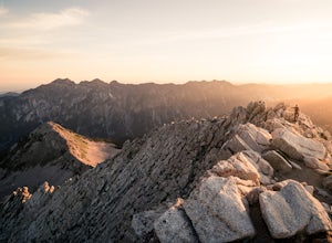
5.09 mi / 3700 ft gainStarting at the White Pine Trailhead in Little Cottonwood Canyon, UT, hike southwest until reaching the junction to Red Pine Canyon. Take the trail that crosses the stream and continues west around the ridge. The trail will quickly turn south and begin to gain elevation. Continue west as you pass...Read more -
Sandy, Utah
Hike to Maybird Lakes (Maybird Gulch)
5.07.5 mi / 2000 ft gainThis out and back hike begins at the same trailhead as White Pine Lake and Red Pine Lake which are both a lot more popular that Maybird Lakes. You follow the trail to Red Pine Lake for the first 2.5 miles and then there is a bridge and you follow that across the river to get on the trail to Maybi...Read more -
Sandy, Utah
Camp at the Cottonwood Ridgeline
Begin at the White Pine Trailhead in Little Cottonwood Canyon. Follow the trail up toward Red Pine Lake. The trail gets a little hard to follow after the lake, but find your way up to the ridge between Pfeifferhorn and White Baldy. Set up camp and enjoy a night in the high mountains. Morning will...Read more -
Sandy, Utah
Winter Hike the Pfeifferhorn
5.09 mi / 3600 ft gainRising to a height of 11,326 feet, the Pfeifferhorn is one of the most majestic and iconic peaks in the Wasatch Mountains, and also one of the most popular mountains to hike. During the summer and fall, there is a well beaten trail all the way to the summit, but during the winter and spring, this...Read more -
Sandy, Utah
Ski or Snowboard Pink Pine Ridge
Arrive at the White Pine Trailhead early and start up from the main trailhead. Stay on that trail until you hit the river (Most of the time the river is buried, so look for a sign sticking up out of the snow) and the fork to go up to White Pine or Red Pine. Cross the river heading west and contin...Read more -
Sandy, Utah
Backcountry Ski White Pine Fork
7 miThe White Pine Trailhead is up Little Cottonwood Canyon on the south side of the road just before you get to Snowbird Ski Resort. The parking lot fills up very quickly so an early start is recommended. The skin track starts in the southwest corner of the parking lot near the bathrooms. You will f...Read more -
Salt Lake City, Utah
Hike Days Fork
5.07.5 mi / 2494 ft gainTo get to the trailhead drive up Big Cottonwood Canyon to Spruces Campground. Once in the parking lot, walk to the southwest corner of the parking lot and go up the road past the bathrooms. The trailhead will be next to the overgrown baseball field. The trail is awesome single track the whole wa...Read more -
Salt Lake City, Utah
Backcountry Ski Days Fork
3.2 miDays Fork is on the south side of Big Cottonwood Canyon behind the Spruces parking lot. The trail head begins on the south west corner of the parking lot. The approach to Days Fork is long, but gradual. Continue south along the skin track until you reach the end of the Days Fork Basin. Here you c...Read more -
Salt Lake City, Utah
Donut Falls
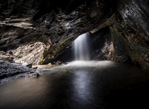
4.11.53 mi / 413 ft gainThe Trail Follow the trail for just a little bit and when it forks, stay to the left and you will arrive to Donut Falls. Once at the waterfall, climb up the rocks to get to the cave at the top, which is not visible from the bottom. To take pictures inside of the cave, you will most likely get yo...Read more

