New Harmony, Utah
Looking for the best photography in New Harmony? We've got you covered with the top trails, trips, hiking, backpacking, camping and more around New Harmony. The detailed guides, photos, and reviews are all submitted by the Outbound community.
Top Photography Spots in and near New Harmony
-
Ivins, Utah
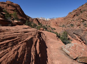
Hike Padre Canyon
3 mi / 700 ft gainMany people access the Padre Canyon hike in the Red Cliffs Desert Reserve from the south, which has a parking pull-over just south of the Tuacahn Center main gate on Tuacahn Drive. The trail starts from the southwest corner, passing through a fence. Follow the trail around a prominent butte. Once...Read more -
Hildale, Utah
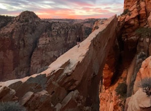
Water Canyon Arch (Eye of the Heavens)
9.61 mi / 1936 ft gain…Who doesn’t enjoy a hike that gives you views as if you’re on top of the world! I know I do, and this hike to Water Canyon Arch (Eye of the Heavens Arch) will do just that!There’s two ways of getting to the arch, but the route I took was the squirrel creek trail, to the Canaan mountain trail. On...Read more -
Cedar City, Utah
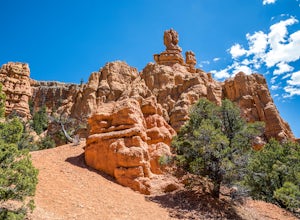
Hike the Hoodoo Loop Trail in Dixie National Forest
5.00.3 miHoodoo's are unique rock formations formed over many years by erosion. In this region, the hoodoos are formed through a process called frost wedging. This is the process of repeated freeze thaw cycles. As snow melts the water seeps between the cracks in the rocks then freezes at night when the...Read more -
Orderville, Utah
Hike through the Red Caves (Sand Wash)
5.0They don't require any technical gear unless you would like to do two short rappels near the beginning of Lower Red Cave and one short rappel into the Upper Red Cave. We didn't take a rope and were fine although the canyons are usually filled with water and have some difficult obstacles to overco...Read more -
Orderville, Utah
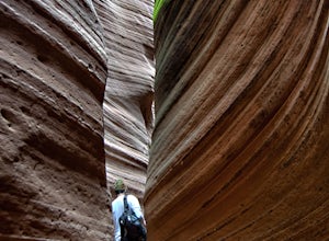
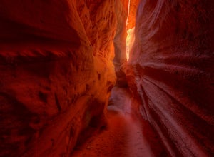
Hike Red Hollow Slot Canyon
5.03.2 mi / 200 ft gainThe trailhead is about 18 miles from the eastern entrance of Zion National Park, located in the small town of Orderville. In Orderville, the streets aren't marked too well, so follow the road that goes past the cemetery and the school, 100 East. When the road Ts, turn left. The road ends in a san...Read more -
Duck Creek Village, Utah
Explore the Mammoth Cave Lava Tubes
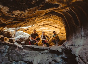
3.00.4 mi / 100 ft gainFrom the USFS website: "Mammoth Cave, at 8050 feet in elevation opens to one of the largest lava tubes in Utah with over 2200 feet of passages. Formed by cooling lava and flowing water, Mammoth Cave is part of the Markagunt Plateau. Geologists believe that some of this lava is only several thous...Read more -
Kanab, Utah
See Dinosaur Tracks at the Moccasin Mountain Dinosaur Tracksite
5.0The Moccasin Mountain Dinosaur Tracksite is one of the most diverse track sites in North America. The site contains hundreds of fossilized tracks from at least five different species of dinosaur. The tracks have been preserved since the early Jurassic period dating back to approximately 180 mil...Read more -
Kanab, Utah
Nature Trail Loop
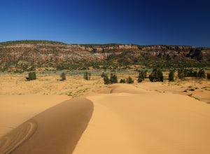
4.50.75 mi / 33 ft gainThis state park is not heavily visited and for a makes a great day trip from Zion National Park or Kanab, UT. Expect endless beautiful pink dunes and Utah's red rocks as your backdrop. Once you park, walk out onto the boardwalk and the short Nature Trail will head out just beyond the signs explai...Read more -
Orderville, Utah
Kanab's Peek-a-Boo Canyon
4.87.71 mi / 587 ft gainThe trailhead is Red Canyon (aka Peek-a-boo) trailhead located just off of Highway 89 between Kanab and Mt. Carmel Junction. The GPX track shows the entirety of the trail, but if you have 4WD and a high-clearance vehicle, you're able to reach the closer parking area for a less than 1-mile roundtr...Read more -
Kanab, Utah
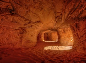
Sand Caves of Kanab
4.51.17 mi / 69 ft gainTo get to this cave, drive north of Kanab on Highway 89. Just after you pass Best Friends Animal Sanctuary, you will see these caves on the right. To hike to the caves, try accessing the trail from as far to the left as possible. The hike isn't strenuous or tricky in that case. The other thing t...Read more -
Washington County, Utah
Rock Climbing St. George Utah
The Utah Hills areas of climbing are mostly limestone. Some of the best quality rock in the country. There are many areas here that are still being developed. The climbing style is sport climbing and the skill level needed is from beginner to expert, but to enjoy the area to its fullest interme...Read more -
Panguitch, Utah
Drive the Scenic Byway 12 in Utah
5.0The Scenic HWY 12 is a great stretch en route to Bryce Canyon. Stop at the overlooks and take in the beautiful surrounding scenery. The red rocks are spectacular!Read more

