Orem, Utah
Looking for the best hiking in Orem? We've got you covered with the top trails, trips, hiking, backpacking, camping and more around Orem. The detailed guides, photos, and reviews are all submitted by the Outbound community.
Top Hiking Spots in and near Orem
-
Salt Lake City, Utah
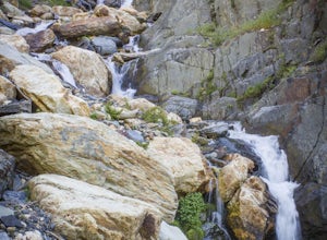
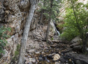
Hike Stairs Gulch
4.2Drive up Big Cottonwood Canyon for around 2.8 miles, parking will be along the road and there will be a large rock waterfall on the right hand side of the road. The trailhead is just a short distance from that rock fall (40.623824, -111.743208)Stairs Gulch is an easy, short hike, unless you're lo...Read more -
Salt Lake City, Utah
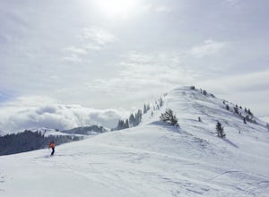
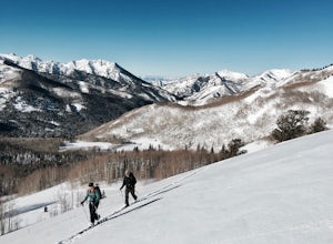
Backcountry Ski USA Bowl
1.6 mi / 1700 ft gainTo get the the trailhead, drive up Big Cottonwood Canyon until you reach the upper entrance into Solitude Ski Resort. You can park on the road just below the entrance to the resort. Across the street is a road called Old Stage Road, this is where the trail head begins. The road is covered in snow...Read more -
Utah County, Utah
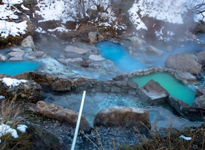
Diamond Fork (Fifth Water) Hot Springs
4.44.63 mi / 663 ft gainWhen you hike out to Diamond Fork aka Fifth Water hot springs, get ready for an amazing experience! The lower fall is visible from the main pool. If you want to continue to go further up the creek, you will run into the second fall, which is the most photogenic of them all. There are also two poo...Read more -
Salt Lake County, Utah
Lake Blanche Trail
4.56.76 mi / 2766 ft gainThe hike is only 6 miles roundtrip, but it's pretty steep the whole way. It will take about 1.5 - 2 hrs to get up and about 45 min - 1hr to get back down. This can be longer depending on weather conditions and if you choose to loop the lake. At the Mills B Trailhead, you will head to the far end ...Read more -
Salt Lake County, Utah
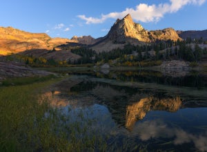
Lake Blanche & Sundial Peak
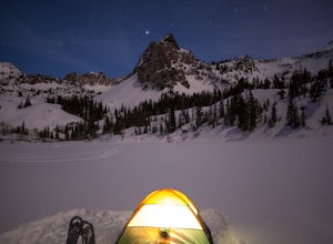
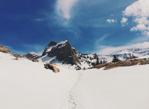
5.09.52 mi / 4098 ft gainThis is a popular hike all year round, but less popular in the winter. If you’re backpacking you’ll most likely be alone. In winter, the lake is covered in snow, but Sundial Peak is one of the most picturesque mountains in the Wasatch. Especially when it is dusted with snow. You’ll also be far en...Read more -
Salt Lake County, Utah
Broads Fork Twin Peaks
5.08.57 mi / 4984 ft gainThe Broads Fork trailhead starts in Big Cottonwood Canyon in the same parking lot as the Lake Blanche trailhead. This trailhead is on the west side of the parking lot. The trail is marked and easy to follow for a good chunk of the way. You will come to a big basin and alpine meadow where you wil...Read more -
Salt Lake City, Utah
Broads Fork Basin and Beaver Pond
4.05.1 mi / 2083 ft gainThe Broads Fork trailhead starts in Big Cottonwood Canyon in the same parking lot as the Lake Blanche trailhead, this trailhead is on the west side of the parking lot. The trail is very easy to follow and is well marked. Follow the trail until you come to a great big basin. Here you will be able...Read more -
Salt Lake City, Utah
Snowshoe Lake Blanche
5.05.6 miLake Blanche is an extremely popular hike along the Wasatch Range in Utah. During the summer and fall months the lake, wildlife, flowers, and Sundial Peak as a backdrop offer spectacular views.Lake Blanche is one of the most beautiful and scenic lakes in Utah and turns into a winter wonderland on...Read more -
Salt Lake County, Utah
Hidden Falls
4.20.16 mi / 138 ft gainHidden Falls is a beautiful little waterfall with minimal crowds. When I say minimal, I mean I've only seen another person there 1 of the 5 or 6 times that I have been. Take it in. Stay a while. Scramble around the small canyon for different perspectives of the falls or the creek. If you don't ha...Read more -
Salt Lake City, Utah
Hike the Mineral Fork Trail
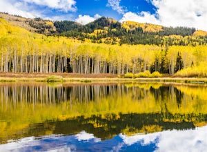
4.09.3 mi / 3500 ft gainThe trailhead begins along Big Cottonwood Canyon Road, with a relatively small parking lot at the trailhead. Starting early in the day is advised, as on nice summer days it will fill up quickly. The trail has a steady ascent for the first 2 miles starting around 6700' through aspen forests and cr...Read more -
Park City, Utah
Hike Empire Pass Ridge
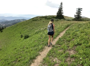
3.25 mi / 800 ft gainStarting at an elevation of 8,960 feet at Empire Pass, the trail follows the ridge to the west. It starts off on a gravel road, but quickly turns into a single-track trail once you pass the buried water tank. For the most part, you will stay on the ridge and have great views of Clayton Peak, Deer...Read more -
Salt Lake City, Utah
Photograph Wildlife at Willow Lake
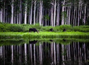
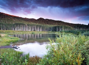
2.2 mi / 629 ft gainWillow Lake has become my favorite spot in all of Utah. It feels so distant from civilization in the mountains, but is only a 25 minute drive from Salt Lake City. I have hiked to Willow Lake close to 10 times this year during different seasons, and have never seen more than 5 people on the trail...Read more -
Salt Lake City, Utah
Backcountry Ski Willow Fork
3 mi / 1700 ft gainWillow Fork is just across the mountain from Solitude Ski Resort in Big Cottonwood Canyon. You can access Willow Fork from a few different trailheads; either from the Willow Heights Trailhead or across the street from both the lower and upper Solitude parking lots. The Willow Heights Trailhead wi...Read more -
Salt Lake County, Utah
Willow Lake
4.52.41 mi / 659 ft gainThe Trail: Follow the marked trail and you'll hike less than a mile up to the edge of Willow Lake. Moose like to hang out in the thick willows there, so make lots of noise to warn them that you're coming and you won't startle any. Standing on the shoreline, you'll have a great view of Solitude ...Read more -
Salt Lake City, Utah
Camp at Willow Lake
4.62.41 mi / 659 ft gainThe trailhead to Willow Lake is about 11 miles up Big Cottonwood Canyon and is on the north side of the road right after the passing lane begins. It can be easy to miss, and is only marked with a plaque on a rock (40.630302, -111.604639). As you hike a little in from the road you will see the tra...Read more -
Salt Lake City, Utah
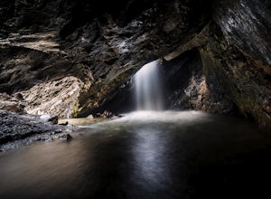
Donut Falls
4.11.53 mi / 413 ft gainThe Trail Follow the trail for just a little bit and when it forks, stay to the left and you will arrive to Donut Falls. Once at the waterfall, climb up the rocks to get to the cave at the top, which is not visible from the bottom. To take pictures inside of the cave, you will most likely get yo...Read more

