Panguitch, Utah
Top Spots in and near Panguitch
-
Orderville, Utah
Kanab's Peek-a-Boo Canyon
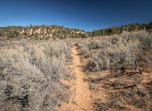
4.87.71 mi / 587 ft gainThe trailhead is Red Canyon (aka Peek-a-boo) trailhead located just off of Highway 89 between Kanab and Mt. Carmel Junction. The GPX track shows the entirety of the trail, but if you have 4WD and a high-clearance vehicle, you're able to reach the closer parking area for a less than 1-mile roundtr...Read more -
Escalante, Utah
Backpack the Escalante River
14 mi / 400 ft gainThe Escalante River trail is an easily accessible, moderately strenuous hike within Grand Staircase-Escalante National Monument. The national monument encompasses over 2 million acres of wilderness, choc-full of large canyons, narrow slot canyons, rivers, hoodoos, arches, natural bridges and more...Read more -
Escalante, Utah
Escalante River Trail: Escalante to UT-12
12.97 mi / 3373 ft gainEscalante River Trail: Escalante to UT-12 is a point-to-point trail that takes you by a river located near Eggnog, Utah.Read more -
Springdale, Utah
Weeping Rock
4.00.5 mi / 98 ft gainThis trail begins at the Weeping Rock parking lot. You must cross a stream on a bridge and then follow the trail to the left. The trail is nice and cool at the top and you may get some mist or water on you from the weeping rock. Perfect to cool you off after the steep trek up to the rock! It's ...Read more -
Springdale, Utah
Hike Observation Point
5.06.8 mi / 2100 ft gainThis is the best trail in Zion Canyon to beat the crowds while experiencing the awe and wonder it has to offer. We take this trail every time we visit Zion and never tire of it. It is an 8 mile out and back hike that takes you up, up, up then down, down, down. Be prepared to get your heart going!...Read more -
Springdale, Utah
Hidden Canyon Trail
4.63.22 mi / 2185 ft gainNOTE: This trail is currently closed due to a large rockfall. Please visit the NPS.Gov website for updates. This trail starts at Weeping Rock Trailhead, it's the same trailhead for Observation Point and the East Rim Trail. You will start this hike up a paved section with several switchbacks up ...Read more -
Springdale, Utah
Canyoneering Echo Canyon, Zion
3 mi / 1100 ft gainDisclaimer: Canyoneering is a dangerous and technical activity. Don’t enter any canyon without the skills to match it, or the knowledge to navigate it. Echo Canyon requires a canyoneering permit that can be reserved online and picked up at the Zion Visitor Center. Be sure to reserve your permit 3...Read more -
Washington County, Utah
Zion National Park Bus stop 8
2.7According to the park, there is nothing at this spot, so not many people stop. If you do not like large crowds, this is the perfect place to stop. There is a small trail that leads to the river and a beautiful vista with the massive canyon walls on all sides. There are several areas in this part ...Read more -
Orderville, Utah
East Rim Trail, Zion NP
5.010.19 mi / 3000 ft gainThe East Rim Trail is approximately 10-miles (one-way) and can either be started from the Eastern Entrance of Zion National Park, or more commonly from the Hidden Canyon or Observation Point Trailheads. Many people start from within Zion Canyon and do the arduous Observation Point Trail, forgoing...Read more -
Hurricane, Utah
Aid Climbing Moonlight Buttress
Moonlight Buttress follows an amazing system of cracks up some really solid sandstone. The route is 5.8 C1 and is very straightforward. Hauling on the first few pitches is an absolute nightmare, but spending the night on the wall is spectacular. To get more info on the route check out the followi...Read more -
Springdale, Utah
Angels Landing
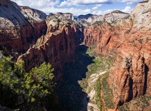
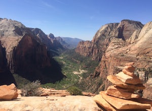
4.74.24 mi / 1488 ft gainAngels Landing has long been one of my favorite Zion National Park hikes. The hike is thrilling, extremely photogenic, and appeals to those who enjoy exchanging leg power for views. The hike to the top isn't long, 2+ miles, but you'll definitely feel the 1500 feet of gain! The trail features a mo...Read more -
Springdale, Utah
Angels Landing, West Rim, Telephone Loop
15.34 mi / 4304 ft gainThe Angels Landing, West Rim, Telephone Loop Trail is a 14+ mile heavily-trafficked loop trail located in Zion National Park near Springdale, Utah. This iconic trail offers incredible views of Zion Canyon and is rated as difficult, with steep drop-offs on both sides of the narrow ridgeline sect...Read more -
Kanab, Utah
Explore Pahreah Ghost Town
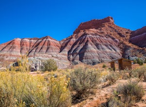
5.0Pahreah was a townsite established along the Escalante River in 1870's. The town grew to include a general store, church, and enough homes to house 47 families at its peak. Due to the close proximity to the Escalante River, the town was flooded every year from 1883 to 1888, washing away crops and...Read more -
Springdale, Utah
The Subway - Top-Down
5.07.78 miThe Subway (rated 3B III), also known as the Left Fork of the North Creek, is the most popular backcountry hike in Zion. It is one of the most diverse and beautiful canyons, as well as a fun and challenging day trip canyoneering adventure. There are two ways to explore the Subway: from the botto...Read more -
Springdale, Utah
Hike Wildcat Canyon Trail, Zion NP
5.05.88 miThis 5.8 mile (one-way) trek is a multi-functional trail. The trail can serve as standalone trail allowing hikers to get in either a solid in-and-out day hike or as a leg to a much bigger and epic Trans-Zion Trek. For those interested in the later, the Wildcat Canyon Trail is the leg of the journ...Read more -
Springdale, Utah
Hike the Northgate Peaks Trail
5.06.14 mi / 958 ft gainThe only access to the Northgate Peaks Trail is by the Wildcat Canyon Trail, which has a trailhead just off Kolob Terrace Road. From the start of the trail you have a good view of Pine Valley Peak on your right. The trail passes on the left into an open green and lush area. After hiking a little ...Read more

