Concrete, Washington
Looking for the best hiking in Concrete? We've got you covered with the top trails, trips, hiking, backpacking, camping and more around Concrete. The detailed guides, photos, and reviews are all submitted by the Outbound community.
Top Hiking Spots in and near Concrete
-
Deming, Washington
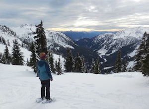
Snowshoe to Artist Point
5.05.5 mi / 1200 ft gainFrom the south end of the ski area, snowshoe past an old ski lodge along an old access road parallel to the ski hill. Then, ascend Austin Pass (2 miles) following the broad switchbacks. Once at the top of the ridge, follow the road to the left 1/4 mile and take in the views of Artist Point, Mou...Read more -
Deming, Washington
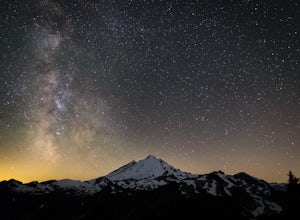
Stargazing at Artist Point
A couple things must coincide for you to have a great time watching the milky way at Artist Point. The road up to Artist is only open during the summer and early Autumn months but it's always good to check on the Washington State Department of Transportation website to see current road conditions...Read more -
Deming, Washington
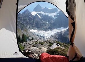
Lake Ann and Lower Curtiss Glacier
5.011.67 mi / 3241 ft gainThe trail begins just below Artist Point and is well marked from a paved parking lot. Make sure to have a Northwest Forest Pass for your vehicle. Start your hike by descending on switchbacks through sub-alpine forest. It's a nice start, but remember, that means an uphill hike out. After entering...Read more -
Deming, Washington
Hike the Fire and Ice Trail
0.5 mi / 100 ft gainSet within the Mount Baker hiking wonderland, the Fire & Ice Trail may be the easiest and most family friendly hike set within the park. About ½ mile beyond the Heather Meadows Ski Area and about a mile before Artists Point, you’ll encounter the sign for the Austin Pass Picnic Area. It’s a ra...Read more -
Deming, Washington
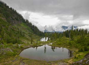
Hike the Bagley Lakes Trail
4.52 mi / 150 ft gainSet within the Mount Baker hiking wonderland, the Bagley Lakes trail is an easy, family-friendly hike with alpine lakes, copious amounts of wildflowers, and striking views of Table Mountain. Compared to the notoriety of many of the other hikes within the area, this is a hidden gem. There are actu...Read more -
Deming, Washington
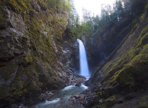
Hike to Sholes Creek Falls
5.0Sholes Creek Falls is not easy to reach, but it is entirely worth the journey. The creek plunges over a two-tiered drop in stages of 62 and 103 feet into a massive amphitheater, which flows into Bar Creek. The waterfall is framed by massive columns of volcanic rock that dwarf the falls, in compar...Read more -
Deming, Washington
Chain Lakes Loop
4.08.35 mi / 2005 ft gainDriving Directions: Travel east on Mt. Baker Highway 542 to the road's end and the Mount Baker Ski area. Follow the signs to the upper parking lot and the Bagley Lakes/Chain Lakes trailhead. The trail can also be accessed from Austin Pass and Artist Point. Trail: From the Bagley Lakes trail...Read more -
Deming, Washington
Winter Backpack to Lake Anne Ridge
14 mi / 2000 ft gainArrive at the upper ski resort parking lot (approx. 4300 feet elev.) and snowshoe, skin, or split board up. Make your way toward Artist Point and halt at Austin Pass, gaining approximately 1200 feet of elevation over approximately 2 miles (one way). From Austin Pass, turn left (south) to take the...Read more -
Deming, Washington
Bike to Wells Creek Falls
Wells Creek Falls is an incredible waterfall nestled in a tight canyon below Mt. Baker. The falls plunges 93-ft. over a volcanic cliff face and envelops the small amphitheater below in a cloud of mist. From there, Wells Creeks snakes through the canyon and enters Bar Creek on the opposite side of...Read more -
Deming, Washington
Hike Skyline Divide
5.09 mi / 2500 ft gainIf driving 13 miles on a forest road, and hiking miles of switchbacks doesn't bother you, your in for one of the most exquisite views that you can get from hiking in Washington state.Just a mile outside of the town of Glacier, turn onto Forest Road 37 and follow it up switchbacks for the majority...Read more -
Marblemount, Washington
Winter ascent of Trappers Peak
9.78 mi / 3448 ft gainNorth Cascade National Park is home to some of the most rugged and remote mountains in the lower 48 states. Because of this, the area is rarely seen up close and personal in the winter, but there are a few spots where you can see these wild mountains that will defy all imagination. In terms of lo...Read more -
Marblemount, Washington
Thornton Lakes & Trappers Peak
3.710.57 mi / 3885 ft gainTo get to your campground or to Trappers Peak, hike roughly five miles along the trail to ridge, where the trail divides. If you head left you'll go down into lake basis where you can drop your gear. Come back to the divide and head right, which will lead you up to trappers peak. Something to ke...Read more -
Whatcom County, Washington
Climb Ruth Mountain and Icy Peak
5.017 mi / 6000 ft gainThis is a great introductory glacial climb in the North Cascades with moderate glacial slopes and 4th class scrambling. The reward is outstanding views of the Picket Range, Mt Shuksan and the dramatic Nooksack Cirque. Even though this climb is easy it can be demanding and requires individuals to ...Read more -
Deming, Washington
Summit Church Mountain
8.5 mi / 3750 ft gainStart by driving roughly 2.5 miles up Forest Road 3040, conveniently named E Church Mt Road, to the trailhead. The road is bumpy, but lacking the pot-holes that occupy many of the other forest roads. The only issue comes at 2 miles in where a stream runs over the road and has eroded a small ditch...Read more -
Deming, Washington
Hike the Horseshoe Bend Trail
4.06 mi / 210 ft gainLocated just outside the town of Glacier, WA and 40 minutes prior to Mount Baker Ski area, sits the Horseshoe Bend Trail. A simple and straightforward 6 mile out and back route. To get here, take Hwy 542 towards the direction of Mount Baker. About 4 miles after you pass through the town of Glacie...Read more -
Whatcom County, Washington
Yellow Aster Butte and Tomyhoi Peak
4.713.4 mi / 4902 ft gainThe best way to describe the location is due east of Bellingham. After driving through gorgeous roads to reach Twin Lakes Road (fire service road 3065), you are treated to about a 4-mile drive up to the trailhead for Yellow Aster Butte (8.3 miles RT with 2850' of gain) and Tomyhoi Peak. The drive...Read more

