Olga, Washington
Top Spots in and near Olga
-
Cowichan Bay, British Columbia
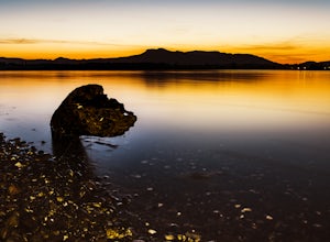
Photograph Cowichan Bay
There is a reason the town of Cowichan Bay is a popular destination for visitors and locals alike. The town boasts stunning views across the bay, of the Cowichan River estuary, the beautiful marina, and has a variety of restaurants, a candy shop and bakery. Start off by grabbing a bite to eat at ...Read more -
Sequim, Washington
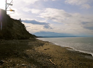
Hike Dungeness Spit
3.511 mi / 130 ft gainPark at a the north side of the Dungeness Spit Recreation Area, in the Refuge parking lot. There is a kiosk at the Refuge where you can pay an entrance fee ($3) and check the Tide Table. Only attempt the hike at low tide or the sand spit becomes narrow and you have to climb over logs.Follow the R...Read more -
Duncan, British Columbia
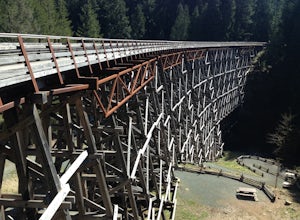
Explore the Kinsol Trestle
4.01.6 miThe Kinsol Trestle is a highlight of the Cowichan Valley Trail, which travels from Shawnigan Lake to Lake Cowichan and then onward to Duncan. The trestle is easily reached via a 1.3km, wheelchair accessible section of the CVT from the trailhead on Renfew Road. Originally built in 1911 for the r...Read more -
Duncan, British Columbia
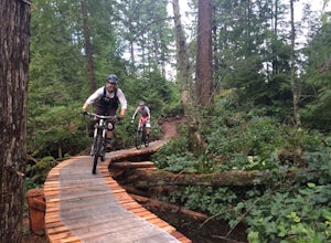
Mountain Bike Maple Mountain
The Maple Mountain trail network has been enjoyed for countless years by hikers, but not until recently did the mountain receive the attention it deserved for mountain biking. Over the last few years the Cowichan Trail Stewardship Society in conjunction with the approval of the local municipality...Read more -
Deming, Washington
Hike Helitrope Ridge
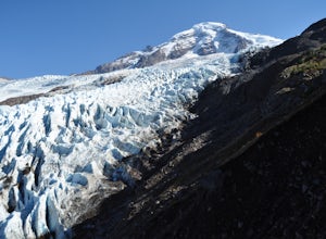
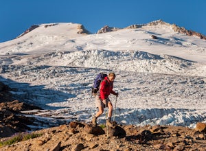
4.75.5 mi / 1500 ft gainStarting at the marked Heliotrope Ridge parking lot of FS Road 39, just 8 miles out of the quaint town of Glacier, Washington, you begin your ascent to the glacier viewpoint. The trailhead sign indicates that it is a strenuous 2,000 ft gain over 2.5 miles up to the overlook.This clearly cut trail...Read more -
Deming, Washington
Hike the Horseshoe Bend Trail
4.06 mi / 210 ft gainLocated just outside the town of Glacier, WA and 40 minutes prior to Mount Baker Ski area, sits the Horseshoe Bend Trail. A simple and straightforward 6 mile out and back route. To get here, take Hwy 542 towards the direction of Mount Baker. About 4 miles after you pass through the town of Glacie...Read more -
Sooke, British Columbia
Hike Mount Manuel Quimper
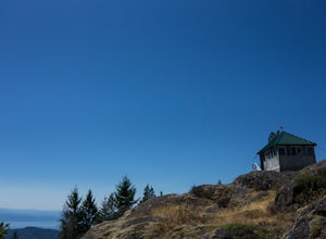
The Sooke Hills is a geographic region of low hills with elevations between 350m (Mt. Wells) to a high of 682m (Mt. Empress), located in the area bounded on three sides by Highway 1 to the east, Highway 14 to the south and the Sooke River to the west. Though heavily logged 100+ years ago, in the ...Read more -
Concrete, Washington
Park Butte Lookout
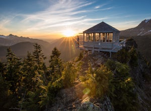
4.57.64 mi / 2100 ft gainThis place is really the stuff of fairy tales. Where else can you find a tiny cabin with 360-degree views of stunning mountain scenery? To the west, you can see all the way to Bellingham and the Puget Sound. To the south and east lie the jagged North Cascades. And the entire northern horizon is ...Read more -
Concrete, Washington
Backpack the Easton Glacier Railroad Grade
10 mi / 3000 ft gainBegin at the Park Butte trailhead, trail 603. Hike past the first Scott Paul trail sign a few hundred feet from the trailhead. Continue on and cross appropriately name Rocky Creek heading up on the Park Butte Trail. Continue up the Park Butte trail passing the Scott Paul trail again at about 4,50...Read more -
Concrete, Washington
Climb Mt. Baker via the Easton Glacier Route
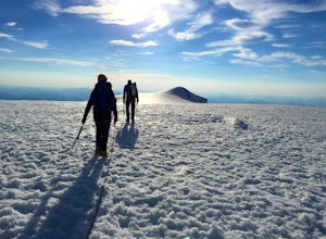
16 mi / 7600 ft gainThe Easton Glacier route is one of the mountain’s most popular and likewise, most crowded. Check out Mt. Baker’s Squak Glacier route or Coleman Deming Glacier route for an alternative climb with similar difficulty.You’ll start out at Schreibers Meadow Trailhead (3,200 ft.). To get there, exit off...Read more -
Concrete, Washington
Climb Mt. Baker via Squak Glacier
10 mi / 7500 ft gainNOTE: THIS ROUTE REQUIRES GLACIER TRAVEL SKILLSMt Baker, or Kulshan, is a remarkable mountain in northwest Washington. Whether you're in Anacortes, Bellingham, Vancouver or on the San Juan Islands you can see Mt Baker standing as a citadel over the Northwest. Unlike the more popular routes like t...Read more -
Deming, Washington
Hike Skyline Divide
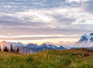
5.09 mi / 2500 ft gainIf driving 13 miles on a forest road, and hiking miles of switchbacks doesn't bother you, your in for one of the most exquisite views that you can get from hiking in Washington state.Just a mile outside of the town of Glacier, turn onto Forest Road 37 and follow it up switchbacks for the majority...Read more -
Sooke, British Columbia
Hike East Sooke Park
Sitting very close to the southernmost point of Vancouver Island, facing west towards the mouth of the Strait of Juan de Fuca and the open Pacific Ocean, East Sooke Park is a unique and magical place for a hike or trail run. Your first visit will spark the desire to keep returning, to keep explor...Read more -
Sooke, British Columbia
Hike and Swim at Sooke Potholes
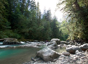
4.2The Sooke Potholes seem to have something for everyone. Those seeking quick and easy beach access can enjoy short, well-groomed trails that lead straight to the pebble beaches from each of this spot’s multiple parking lots. There are also a number of paths leading to viewpoints overlooking the ri...Read more -
Concrete, Washington
Dock Butte
4.53.92 mi / 1388 ft gainDock Butte is an easy hike offering truly spectacular 360 degree views of the Mt. Baker region. In summer this summit can be done as an easy walk up. It is especially good during the late summer for hikers and introducing someone into hiking. From the parking lot the trail goes through forest wi...Read more -
Maple Ridge, British Columbia
Stroll along the Spirea Nature Trail
3.01.5 mi / 0 ft gainAn hour outside of downtown Vancouver lies the beautiful 150,000 acre Provincial Park of Golden Ears. The park has a myriad of hikes and adventures all with varying degrees of difficulty. The Spirea Nature Trail likely clocks in as one easiest amongst the dozens within the park. However, don’t le...Read more

