Rockport, Washington
Looking for the best hiking in Rockport? We've got you covered with the top trails, trips, hiking, backpacking, camping and more around Rockport. The detailed guides, photos, and reviews are all submitted by the Outbound community.
Top Hiking Spots in and near Rockport
-
Deming, Washington
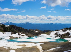
Hike Ptarmigan Ridge in the North Cascades
5.09 mi / 1350 ft gainDirections are from Bellingham. Drive Sr 542(Mt Baker Highway) approximately 60 miles to the parking area at Artist Point, elev. 5140 ft. Try to park towards the southwest corner of the lot as this is where our trail begins. Toilets are available.The trail starts from the southwest corner of t...Read more -
Deming, Washington
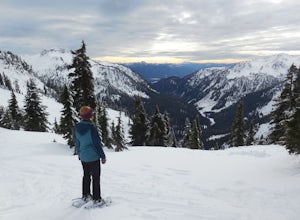
Snowshoe to Artist Point
5.05.5 mi / 1200 ft gainFrom the south end of the ski area, snowshoe past an old ski lodge along an old access road parallel to the ski hill. Then, ascend Austin Pass (2 miles) following the broad switchbacks. Once at the top of the ridge, follow the road to the left 1/4 mile and take in the views of Artist Point, Mou...Read more -
Deming, Washington
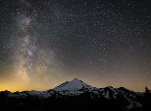
Stargazing at Artist Point
A couple things must coincide for you to have a great time watching the milky way at Artist Point. The road up to Artist is only open during the summer and early Autumn months but it's always good to check on the Washington State Department of Transportation website to see current road conditions...Read more -
Winthrop, Washington
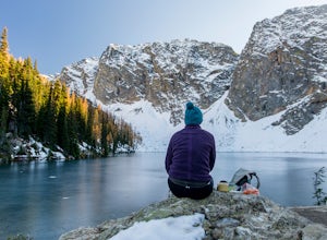
Hike to Blue Lake, WA
5.04.5 mi / 1100 ft gainBlue Lake is a fantastic alpine lake along a moderate trail in the sawtooth North Cascades, featuring views of some of the most impressive peaks in the range. A 4.5-mile out-and-back gaining about 1,100 feet, the trail to Blue Lake Trail features summer wildflowers, autumn Larch and jagged snow-c...Read more -
Winthrop, Washington
Climb South Early Winters Spire - South Arete
3 mi / 2600 ft gainFrom the Blue Lake Trailhead, hike approximately 1.5 miles to an obvious clearing with subsidiary trails that depart uphill and right at a stream crossing. These trails will eventually lead up granite slabs and converge into a main trail. Follow the cairns or aim generally for the southern-most s...Read more -
Concrete, Washington
Anderson and Watson Lake
5.68 mi / 1165 ft gainThe drive up to the starting point of the trail to Anderson and Watson Lake was easy, but at the end it gets a little tricky - the service road is sharp gravel and runs for about 10 miles to the trailhead. Some spots are steep and there are large potholes, but slow and steady wins the race. There...Read more -
Concrete, Washington
Rainbow Ridge
4.51 mi / 1552 ft gainThe Trail From the parking area proceed back towards the road and hang a right up an abandoned road bed. The trail follows this road bed for a about 0.2 miles before the real trail becomes evident. The first 0.5 - 1.0 miles of this trail can be difficult. Deadfall, wet, steep, and root covere...Read more -
Concrete, Washington
Winter Hike to Rainbow RIdge
4.5 mi / 1200 ft gainTurn left off of the Grandy-Baker Lake Road onto FS RD 1130 just past the Boulder Creek Campground. Stay right at the first fork in the road. At 3.9 miles go right towards Rainbow Falls. The falls are located at a large bend in the road at approximately 4.5 miles. I have never found a good safe...Read more -
Okanogan County, Washington
Hike to the Goat Peak Lookout
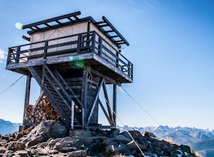
3.55 mi / 1400 ft gainWith fall coming quickly, that means larch fever. Views of the North Cascades, Methow Valley, and fall colors all at 7000 feet, doing the short hike of just over 2 miles up to the Goat Peak Lookout will not disappoint.The hike begins in a beautiful forest you'd expect too see at 5500 feet. The al...Read more -
Deming, Washington
Bike to Wells Creek Falls
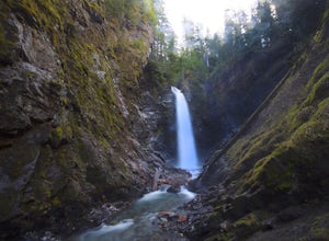
Wells Creek Falls is an incredible waterfall nestled in a tight canyon below Mt. Baker. The falls plunges 93-ft. over a volcanic cliff face and envelops the small amphitheater below in a cloud of mist. From there, Wells Creeks snakes through the canyon and enters Bar Creek on the opposite side of...Read more -
Deming, Washington
Hike to Sholes Creek Falls
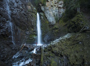
5.0Sholes Creek Falls is not easy to reach, but it is entirely worth the journey. The creek plunges over a two-tiered drop in stages of 62 and 103 feet into a massive amphitheater, which flows into Bar Creek. The waterfall is framed by massive columns of volcanic rock that dwarf the falls, in compar...Read more -
Concrete, Washington
Hike the East Bank of Baker Lake
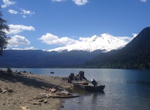
4.39.2 mi / 978 ft gainAccess the hike from a 26.5-mile drive down Baker Lake Rd to the Baker Lake Trailhead. Note that the last 6 miles are unpaved and rather rough. The trail starts at low elevation so there's rarely snow or condition concerns, even in early spring. The trail runs alongside and then crosses the Bake...Read more -
Fraser Valley D, British Columbia
Camp at Jones Lake
3.0Southwest of Hope and just east of Chilliwack, Jones Lake is a recreation site at a reservoir lake in the coastal mountain range, managed by BC Hydro. Set below granite mountain peaks and surrounded by a dense forest (that is unfortunately being logged), this lake isn't pristine, but it sure is p...Read more -
Fraser Valley E, British Columbia
Hike Mount Cheam
5.0Even at the parking lot, there is a stunning view of Lady Peak and Mount Cheam. Walk towards the big pile of logs and towards the old logging road. You will also see an outhouse – this will be your one and only time to use a toilet, so go now. The road continues for about 15 min. before reaching ...Read more -
Hope, British Columbia
Hike the Kettle Valley Trail through the Othello Tunnels
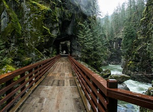
3.03.4 mi / 300 ft gainThis 5.5km loop family-friendly hike is highly accessible and an easy jaunt into the beautiful Coquihalla Canyon Provincial Park. Just two hours from Vancouver, the loop hike will take you up and down through some lush forest towards the beautiful old railway tunnels which were built in the early...Read more -
Stehekin, Washington
Hike to Agnes Gorge in Stehekin Valley
5 mi / 300 ft gainIf you find yourself in Washington State's remote Stehekin Valley, which is situated at the head of Lake Chelan in the heart of the North Cascades, and is accessible by ferry, float plane, or hiking trail, Agnes Gorge is a must-do day hike from the High Bridge area. By hiking or by Stekekin Valle...Read more

