Skamania County, Washington
Looking for the best hiking in Skamania County? We've got you covered with the top trails, trips, hiking, backpacking, camping and more around Skamania County. The detailed guides, photos, and reviews are all submitted by the Outbound community.
Top Hiking Spots in and near Skamania County
-
Washougal, Washington
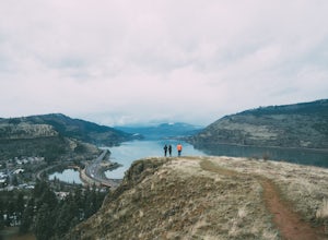
Cape Horn Trail
4.36.76 mi / 1795 ft gainThe Cape Horn Trail is great for those who are short on time, but still want to get outside for something close by with great views. Located just 35 min east of Portland, the Cape Horn Trail offers a few different possibilities for you to hike. The whole loop (lower section is closed from Feb 1s...Read more -
Skamania County, Washington
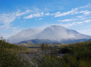
Climb Mount Adams North Cleaver Route
5.017 mi / 7800 ft gainMt Adams is the second tallest volcano in the Cascades and is one of the easiest to climb. There are two main nontechnical routes up Mt Adams, the well-known and crowded route on the south face, and the lesser traveled north cleaver route. The north cleaver offers solitude, views of Rainier, high...Read more -
Skamania County, Washington
Hike to Adams Glacier Meadows
7.5 mi / 1800 ft gainFor the most of the hike, the mountain is hidden behind the firs that surround the hiker as they gain elevation. Because of the dense forest the trail is remains in for most of the hike, it is nicely shaded and pleasant to wander through. At about 2 miles in, the trail leads the hiker into variou...Read more -
White Salmon, Washington
Coyote Wall Loop
3.56.29 mi / 1962 ft gainCoyote Wall is a relatively uncrowded trail system in the Columbia River Gorge that provides outstanding views of the Columbia River. The trail system is made up primarily of user-created mountain biking trails, allowing hikers a choose-your-own-adventure approach to exploring the area. Start o...Read more -
Toutle, Washington
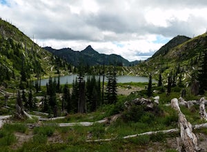
Mount Margaret's Ridge Camp via Coldwater Trailhead
3.57.12 mi / 1634 ft gainThe hike is relatively easy. I'd say intermediate due to the incline at the beginning. Also intermediate due to it being an backpacking camp adventure. A friend of mine and I backpacked in to shoot the sunset and sunrise. We went a little early in the season so it was also to scout for future ad...Read more -
Bridal Veil, Oregon
Angel's Rest
4.34.45 mi / 1568 ft gainThe Columbia River Gorge is absolutely full of incredible hikes - that said, this is one of the best and requires less time and energy than some of the others. Starting at a paved parking lot right off the Historic Columbia River Gorge Highway (note: it's a very popular trail so arrive early or ...Read more -
Bridal Veil, Oregon
Devil's Rest-Wahkeena Falls Loop
4.09.82 mi / 2779 ft gainThis loop takes advantage of the western Columbia River Gorge's vast network of trails - hidden behind the roadside waterfalls - to allow you to visit several popular attractions without fighting traffic along the historic highway. All told, the loop hits 3 named waterfalls (Coopey Falls, Fairy F...Read more -
498 Old Highway 8, Washington
Labyrinth-Coyote Wall Loop
6.42 mi / 1555 ft gainSadly because of the devastating Eagle Creek fire on the Oregon side of the Gorge, most of the trails are closed for restoration. As a result more hikers are heading to the Washington side and heading further east for Gorge day hikes. Heading east gets you some sunnier skies and prime wildflower ...Read more -
Toutle, Washington
Hike the Hummocks Trail
2.4 mi / 0 ft gainThe trail has a number of ups and downs as you pass the many ponds and ash/rock/mud hills (hummocks) on your way towards the North Fork Toutle River. There is abundant wildlife in the area including birds, beaver and elk.This is also a great place to park and extend your day of hiking on the Boun...Read more -
Corbett, Oregon
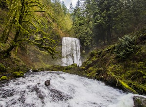
Hike to Upper Bridal Veil Falls
5.00.5 miAt the parking lot for Angel's Rest, turn left uphill on to Palmer Mill Road. Drive for about a mile, and park right past a tributary stream/small waterfall (pictured above) on your left that flows through a small pipe under the road. You will see a small space to park on the right. Park here and...Read more -
Toutle, Washington
Backpack to Snow Lake by Mt. Whittier
5.016 mi / 2700 ft gainThe Coldwater Lake Recreation Area has restrooms, telephones, and a picnic area. Make sure you have already acquired your permits for camping in the Mt. Margaret back country.Follow trail #211, which runs along the entire 4.5 mile length of Coldwater Lake. It is a beautiful and fairly flat hike w...Read more -
Mosier, Oregon
Mosier Plateau Trail
2.79 mi / 600 ft gainThe Columbia River Gorge is full of hidden gems, especially for new folks like me. I just found out about this little trail right in the middle of Mosier Oregon. The trail is great for new hikers, and if you have some friends visiting this would be the perfect trail to take them on if they don'...Read more -
Corbett, Oregon
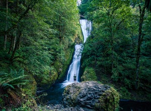
Bridal Veil Falls
4.10.54 mi / 144 ft gainThe trailhead for this short hike is right off of the Columbia River Highway just west of Multnomah Falls. You can't miss the parking lot for it; there is a sign for Bridal Veil and the parking lot is visible from the road. The hike is only 0.6 miles and has hardly any elevation gain (70 feet). ...Read more -
Cascade Locks, Oregon
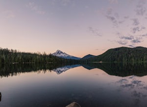
Camp at Lost Lake
4.7When the temperature starts to creep up in the summer, Lost Lake is the perfect escape. The campground provides you with everything you could want – miles of scenic hiking, a multitude of water activities, and even a general store for anything you might have forgotten at home.The lakeside tent ca...Read more -
Cascade Locks, Oregon
Lost Lake Butte Trail
3.53.51 mi / 1302 ft gainThis is a great hike for those who are visiting Lost Lake. There's a steady 1200ft elevation climb all the way to the summit, so the hike will give you a good workout, but is worth it in the end. To begin this hike, make your way to the Lost Lake Campground Amphitheater Stage (off of NF Dev RD ...Read more -
Corbett, Oregon
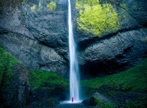
Latourell Falls Loop
4.72.02 mi / 820 ft gainLatourell Falls is a beautiful and unique waterfall in the Columbia River Gorge in Oregon. This amazing waterfall is just a few hundred yards from the road and parking lot. Once you park, there is a viewpoint for the falls that is straight ahead. The view from there isn't that great compared to ...Read more

