Skamania County, Washington
Looking for the best hiking in Skamania County? We've got you covered with the top trails, trips, hiking, backpacking, camping and more around Skamania County. The detailed guides, photos, and reviews are all submitted by the Outbound community.
Top Hiking Spots in and near Skamania County
-
Carson, Washington
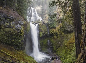
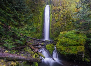
Falls Creek Falls
4.85.82 mi / 1512 ft gainThe trail to Falls Creek Falls is well maintained with a few short moderately steep areas. The trail hugs the creek for the first mile, and takes you through old growth trees for the second mile. Once the falls are in sight, make sure to stop and look up to see the top tier through the trees. It'...Read more -
Skamania County, Washington
Indian Heaven to Blue Lake
4.56.71 mi / 997 ft gainCrowds and mosquitoes were nonexistent as we went a bit early in the season. The trails were all covered in snow, but we were able to do some way finding with a GPS and topo map. 3.5 miles in we found a dry spot next to Blue Lake and set up shop. After dropping off our gear we climbed up Gifford...Read more -
Carson, Washington
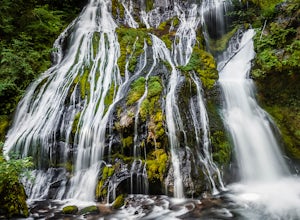
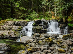
Panther Creek Falls
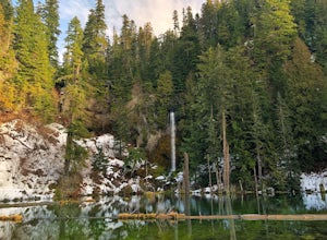
4.60.64 mi / 180 ft gainThis hidden beauty is just north of Carson, Washington. Watch for Panther Creek campground signs and follow the twisting road about 7 miles to a rock quarry and park there. The trail begins just off the road about 50 yards back - keep an eye out for signs for the trailhead and listen for the fall...Read more -
Skamania County, Washington
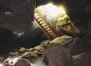
Camp Forlorn Lakes & Explore Guler Ice Cave
Camp at scenic and easily-accessible Forlorn Lakes, where the 25 campsites ($10/night) are both isolated and roomy. Sites have a picnic table and fire ring and provide access to the series of lakes, as well as the East Crater Trailhead which leads into the Indian Heaven Wilderness.Nearby, explore...Read more -
Skamania County, Washington
McClellan Falls
1.00.7 mi / 200 ft gainThe trail begins at the parking for McClellan Overlook. Head out of the parking area and cross over the highway before heading onto a faint, unmarked trail. You may have to do a little routefinding, so it's best to download this map before heading out so you can make sure you stay on path. This...Read more -
Skamania County, Washington
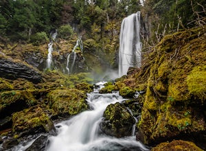
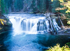
Hike to Lewis River Falls
4.3Distance: 5.4 milesElevation Change: 500ftThis Lewis River hike starts at Lower Falls then follows the Lewis River Trail #31, detours up to Copper Creek, before returning back to the main trail for the magnificent Upper Falls. Enticing views of the crystalline water in the Lewis River will make y...Read more -
Stevenson, Washington
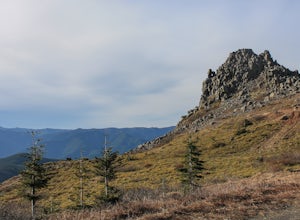
Three Corner Rock
4.03.86 mi / 1093 ft gainFrom the Rock Creek Pass Trailhead, begin the short hike to Three Corner Rock by heading south on the Pacific Crest Trail from its crossing of Road CG 2090. After a steady 1.5-mile climb of roughly 600 feet, look for a large fallen sign marking the junction to Three Corner Rock. Shortly after, an...Read more -
Amboy, Washington
Siouxon Trail to 14 Mile Falls
5.013.03 mi / 2310 ft gainWhen you park at the top of the trail, all you see is layers and layers of emerald trees and ground clear of any underbrush. Once on the trail, you start on a rapid decline that brings you to the first of the many streams along this hike. Cross the bridge made out of logs and head towards the ma...Read more -
Stevenson, Washington
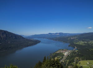
Wind Mountain
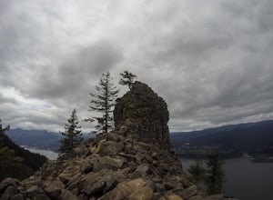
5.02.5 mi / 1037 ft gainOnce you reach the parking lot, walk down the hill and find the trail head, which is easily seen as it is marked. Begin your trek up the trail. The way up is pretty much all uphill, and is a great workout for the legs. You will walk through forests and over many rocks on the way up. As soon as y...Read more -
Cougar, Washington
Hike the Lava Canyon
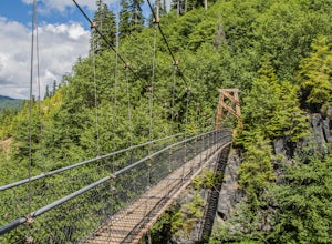
3.06.5 miStarting at the Lava Canyon Trailhead, you will walk on a paved trail down a few switchbacks until you reach the river, where you can go right or left. Either way takes you to the suspension bridge, but I recommend going right if you are following this guide. It will make more sense in a moment.A...Read more -
Cougar, Washington
Hike to Ape Canyon
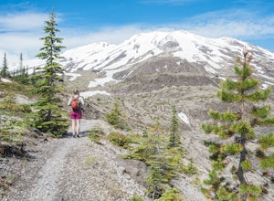
9.6 mi / 1650 ft gainNot to be confused with the ever so popular Ape Caves, the Ape Canyon is a moderately challenging hike that remains above ground, climbing a total of 1650 feet in elevation parallel to the Muddy River. Although originally designed as a hiking trail, this route has become increasingly popular wit...Read more -
Cascade Locks, Oregon
Indian Point via Herman Creek Trailhead
5.08.08 mi / 3658 ft gainPark at the Herman Creek Trailhead in Cascade Locks 2 miles from the exit. Remember to bring your Northwest Forest pass or a $5 payment to park. Start ascending on the Herman Creek trail a little over a mile until you hit a three-way junction for Gorton Creek Trail #408, Trail #400, and Herman ...Read more -
Cougar, Washington
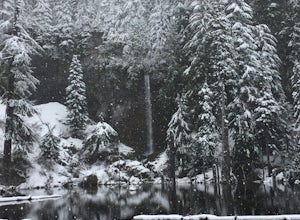
June Lake
2.47 mi / 0 ft gainJune Lake, is a beautiful mountain lake located in Gifford Pinchot National Forest, Washington. The out-and-back trail starts at the June Lake Trailhead and parking area. This hike is family-friendly at just under 2.5 miles to June Lake. Dogs are permitted on the trail on their leash. This park...Read more -
Cascade Locks, Oregon
Gorton Creek Falls
4.71.01 mi / 361 ft gainThe Gorton Creek Falls hike provides an excellent challenge for those who are searching for a bit of adventure. The trailhead starts at the Wyeth Campground day use area, and continues straight at the intersection. The first 2/3rds of the trail are relatively easy to traverse (depsite being rough...Read more -
Cougar, Washington
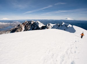
Mount St. Helens Summit via Worm Flows
4.810.53 mi / 5725 ft gainThe Worm Flow Route, starting at Marble Mountain Sno Park, is the most direct winter route up to the summit. You'll start at around 2,700 feet and begin a steady walk along the trail for 2 miles. Although the trail is fairly well marked well above the snow, you'll want to pay attention to the arr...Read more -
Cougar, Washington
June Lake Loop via Pine Martin Trail
5.05.93 mi / 1079 ft gainIn the winter you will need to start at Marble Mt. Snowpark and purchase a snow park permit. The hike starts here on the eastern side. Follow the Pine Ski Trail for about 1 mile along NF-83 Road. Then follow the June Lake Trailhead up to June Lake for about 1.5 miles. You will come to June Lake a...Read more

