Winthrop, Washington
Looking for the best hiking in Winthrop? We've got you covered with the top trails, trips, hiking, backpacking, camping and more around Winthrop. The detailed guides, photos, and reviews are all submitted by the Outbound community.
Top Hiking Spots in and near Winthrop
-
Okanogan County, Washington
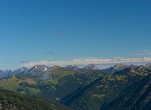
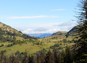
Hike Tatie Peak and Grasshopper Pass
11 mi / 1800 ft gainDirection are from Mazama, WA. From Mazama drive west on the Lost River Road for approximately 19 miles to Hart's Pass. Note that the pavement ends around 7 miles from Mazama and the road becomes FS RD 54. The drive up to Hart's Pass is fairly exposed in one spot and has unnerved several of my ...Read more -
Okanogan County, Washington
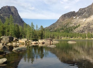
Cathedral Lakes and Amphitheater Mountain
5.037.4 mi / 6493 ft gainLocated in the Pasayten Wilderness and surrounded by Amphitheater Mountain and Cathedral Peak, Cathedral Lakes are a great destination for a multi-day backpacking trip. The shortest route to get Cathedral Lakes (not coming from Canada) is roughly 19 miles. This may be a bit of a "slog" but is def...Read more -
Winthrop, Washington
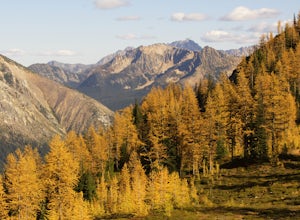
Hike to Easy Pass
5.07.81 mi / 2844 ft gainIf you're looking for a beautiful fall hike with breathtaking views and acres of golden larches, this is it. This trail provides a good workout along with miles of photogenic scenery, including glacier views at the top, making the climb well worth the effort. Easy Pass is also (arguably) one of t...Read more -
Okanogan County, Washington
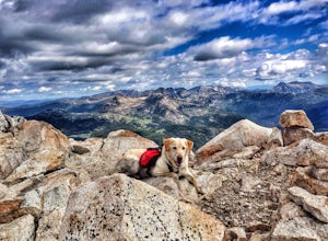
Backpack to Remmel Mtn. & Four Point Lake
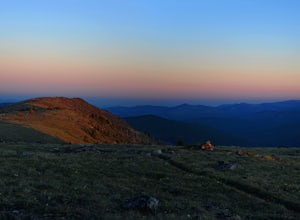
5.0Remmel Mountain (8685 ft), the former site of a fire lookout, is a massive pile of granite and a wonderful destination for panoramic views of the rugged Pasayten Wilderness. The mountain itself can be accessed from several trailheads and although there are no short routes to the base of the moun...Read more -
Stehekin, Washington
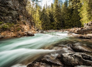
Hike to Agnes Gorge in Stehekin Valley
5 mi / 300 ft gainIf you find yourself in Washington State's remote Stehekin Valley, which is situated at the head of Lake Chelan in the heart of the North Cascades, and is accessible by ferry, float plane, or hiking trail, Agnes Gorge is a must-do day hike from the High Bridge area. By hiking or by Stekekin Valle...Read more -
Loomis, Washington
Backpack the Pasayten Wilderness via Horseshoe Basin
5.020 mi / 3500 ft gainPlease consult with the Forest Service for current road and trail conditions, especially of your are planning a trip on the fringes of the season, i.e. early spring and late fall, as conditions may change without notice and this trail is a long ways from anywhere. When planning a trip to Horsesho...Read more -
Loomis, Washington
Backpack the Pasayten Wilderness via Iron Gate Trailhead
24 miWe started our adventure at the Iron Gate Trailhead. The trail to begin with was pretty flat for about a mile and then begins to ascend higher and higher making for a bit of a workout. You walk through forests with hints of aspen trees and wildflowers, after that it changes to walking through a v...Read more -
Chelan, Washington
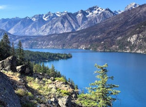
Chelan Lakeshore Trail
5.018.13 mi / 4478 ft gainMake Note: This adventure requires out-and-back travel via the 'Lady of the Lake' ferry from Chelan, Washington or Field's Point Landing on Lake Chelan. Schedules, fares, and reservations can be made at: http://ladyofthelake.com/ The route described herein utilizes the Lake Chelan Lakeshore Trai...Read more -
Leavenworth, Washington
Spider Meadow Trail
14.13 mi / 2923 ft gainSpider Meadow Trail is an out-and-back trail where you may see local wildlife located near Stehekin, Washington.Read more -
Leavenworth, Washington
Spider Gap to Buck Creek Pass
5.034.4 mi / 8317 ft gainBackpacking the Spider Gap to Buck Creek Pass Loop in the Glacier Peak Wilderness is no easy task, but yields some of the most spectacular views found in Washington. Plan for at least four days in order to stay fresh and to allow for extra time to soak in the Cascadian beauty that assaults your ...Read more -
Leavenworth, Washington
Hiking the Lyman Lakes
5.021 mi / 2775 ft gainStart out on the Phelps Creek Trail and hike in 6.5 miles to reach the head of Spider Meadows. Continue on up the trail to the the base of the Spider Snowfield around 6200 feet for even better views of the entire Phelps Basin. Follow the trail up the snowfield for .5 miles to the top of Spider Ga...Read more -
Leavenworth, Washington
Carne Mountain
7.4 mi / 3599 ft gainDrive USFS Road 62 for 23 miles from Lake Wenatchee (turn left at Cole's Corner off of Highway 2 towards Lake Wenatchee). Turn right on USFS Road 6211 for ~2.5 miles to the end at the Phelps Creek Trailhead. Begin to hike the Phelps Creek Trail but in 1/4-1/2 a mile, take a right on the Carne Mo...Read more -
Leavenworth, Washington
Backpack to Ice Lakes Basin
20 mi / 7600 ft gainBegin your adventure at the Phelps Creek Trailhead, roughly a 4 hour drive from Seattle. Make sure your car has good clearance and traction because the last section of the forest service road gets a little rough. Only a few minutes after starting down the trail, you will reach a split that head...Read more -
Skagit County, Washington
Sahale Arm via Cascade Pass
4.312.34 mi / 5230 ft gainTo get to this hike, go to Marblemount, WA. Then, drive ~23 miles east on Cascade River Road until the end, the Cascade Pass Trailhead. Even before you hit the trail, you'll get an amazing view of Johannesburg Mountain. Once you're ready to get going, the initial 3.7 miles of this hike to Cascad...Read more -
Skagit County, Washington
Pelton Basin Camp
8.82 mi / 2543 ft gainStarting at 3,640 feet elevation, the Cascade Pass Trailhead begins adjacent to the Johannesburg Camp and proceeds east along a relentless series of switchbacks. Though the trail is consumed by a thick Washington evergreen forest, the switchbacks frequently open to sweeping vistas of the far-reac...Read more -
Skagit County, Washington
Climb Sahale Peak via the South Slope Route
5.012 mi / 4000 ft gainTo get to Sahale Peak, drive to Marblemount, WA and continue on the Cascade River Road (Forest Road 15) for 23.5 miles. The road ends at the Cascade Pass trailhead, where the climb begins.The first part of the climb follows the Cascade Pass trail for 3.5 miles and 1,800 feet. Cascade Pass makes a...Read more

