Keyser, West Virginia
Top Spots in and near Keyser
-
Davis, West Virginia
Camp at Blackwater Falls State Park
5.0Blackwater Falls State Park is one of 36 state parks in West Virginia and is located just north of the Canaan Valley less than two miles from Davis, WV. Blackwater Falls State Park has over 2,000 acres, making it a great place to camp while you explore the beautiful area. The campground has 65 ...Read more -
Davis, West Virginia
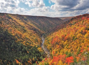
Take in the View at Pendleton Point Overlook in Blackwater Falls SP
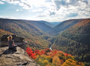
4.5Pendleton Point Overlook in Blackwater Falls State Park provides visitors with expansive views of Blackwater Canyon. The overlook is easily accessed via a short walk from the parking area and marks the widest and deepest point of the canyon. The wooden platform has tower viewers so visitors can...Read more -
Wardensville, West Virginia
White Rocks Loop, George Washington NF
4.59.26 mi / 1690 ft gainThe trail begins near the upper parking area next to a closed gate. If you park in the lower parking area, you'll have to walk about .3 miles up the road to get to this gate. Start out on the forest service (FS) orange-blazed trail, following it for about a quarter mile. From there head onto Old...Read more -
Cabins, West Virginia
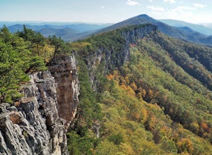
Hike to Chimney Rock in the Monongahela National Forest
4.74.85 mi / 1319 ft gainChimney Rock (also referred to as Chimney Top) is a hidden gem in the Monongahela National Forest that offers some of the best views in the state of West Virginia. There are several trail options that pass this overlook, including a 24 mile point-to-point backpack of the North Fork Mountain Trai...Read more -
Davis, West Virginia
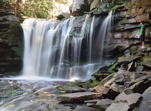
Explore Elakala Falls
3.00.4 mi / 130 ft gainStarting at the Blackwater Falls Lodge, head to the left side of the parking lot, where a trailhead becomes visible. Follow the clearly marked trail down until you reach a bridge which goes over the top of the falls. After the bridge, look for paths to allow you to get to the river level and the ...Read more -
Davis, West Virginia
Dolly Sods Wilderness North Loop via Rocky Ridge Trail
5.012.78 mi / 1378 ft gainThe hike begins at the "Dolly Sods Trailhead Parking" location easily found on Google Maps. The lot is big enough for about 6-8 vehicles. Begin walking at the end of the gravel parking lot/road for about 0.5 miles until you enter the Dolly Sods Wilderness Area in a small grassy field where sever...Read more -
Davis, West Virginia
Hike the Freeland Boardwalk Trail
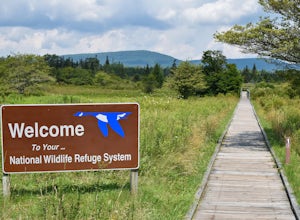
4.00.4 mi / 0 ft gainA free entrance and parking area for about a half dozen cars off Freeland Road features this quick adventure for all ages. The Canaan Valley National Wildlife Refuge and Freeland Boardwalk offers a variety of wildlife and environments like Ponds, Wetlands, Forests, and a natural limestone spring....Read more -
Thomas, West Virginia
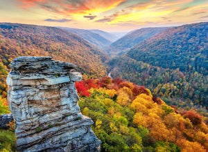
Hike to Lindy Point in Blackwater Falls State Park
4.80.83 mi / 59 ft gainIf you go to Blackwater Falls State Park for the falls, stay for the overlooks. This one, the most popular in the park, overlooks Blackwater Canyon from 3,000 feet above. Although the parking area at the trailhead is small with room for only 4-5 cars, you can also park along the road or at the ...Read more -
Mathias, West Virginia
Hike Cranny Crow to Millers Rock Loop
10.6 mi / 2100 ft gainThis is a really good day hike to explore another one of the many fantastic state parks that West Virginia has to offer while avoiding some of the crowds that many of the popular ones have. The main feature of the park is the Cranny Crow Overlook which features views into two Virginia and three W...Read more -
Davis, West Virginia
Hike to Rohrbaugh Cliffs in Dolly Sods
5 miRohrbaugh Cliffs is the social name given to the expansive views found along the Rohrbaugh Plains Trail. This easy hike in the Dolly Sods Wilderness will take you to one of the best overlooks in the area. For a longer or more challenging hike, connect this trail with one of the many others in t...Read more -
Wardensville, West Virginia
Big Schloss via Wolf Gap Trail
5.04.27 mi / 997 ft gainBig Schloss via Wolf Gap Trail is an out-and-back trail that takes you by a river located near Lost City, West Virginia.Read more -
Wardensville, West Virginia
Hike Big Schloss
5.04.2 mi / 1000 ft gainBig Schloss (the German word for “palace”) is a popular hike in the George Washington National Forest. The trailhead is conveniently located at the Wolf Gap Campground. To begin, follow the path behind the restrooms at the parking lot. Cross the paved road where you will find a trail map with ...Read more -
Wardensville, West Virginia
Tibbet Knob via Wolf Gap
5.03.17 mi / 702 ft gainPark for free at Wolf Gap Campground and cross the road where you will pass some picnic tables and campsites. Follow the signs to the yellow-blazed Tibbet Knob trail. In half a mile, there is a little path to a summit on your left where you can catch a glimpse of Mill Mountain and Big Schloss. ...Read more -
Wardensville, West Virginia
Camp at Wolf Gap
5.0Wolf Gap is a FREE year round campground located just outside of Woodstock, VA. It is a great base camp for several scenic hikes like the Tibbet Knob trail (trailhead is just across the road) and the popular Big Schloss trail (trailhead begins at campsite number 9) -- super convenient if you hav...Read more -
Ohiopyle, Pennsylvania
Meadow Run Natural Water Slide
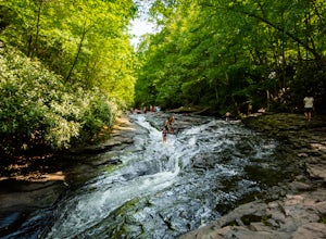
Ohiopyle State Park, located in Fayette County, Pennsylvania, is full of adventure along the Youghiogheny River. During your visit, make sure you stop by the Meadow Run natural waterslide for some serious fun. You can park for free at the Meadow Run parking lot, and then take a short walk down ...Read more -
Orkney Springs, Virginia
Hike Laurel Run
6.6 mi / 2100 ft gainThere are two parking spots for this trail. Park at the lower lot if the gate is closed, if the gate is open, continue up the road for another mile until you reach another closed gate. Park here. If the gate is closed you will need to hike a mile up the road to get to the trail head.From the seco...Read more

