White Sulphur Springs, West Virginia
Looking for the best hiking in White Sulphur Springs? We've got you covered with the top trails, trips, hiking, backpacking, camping and more around White Sulphur Springs. The detailed guides, photos, and reviews are all submitted by the Outbound community.
Top Hiking Spots in and near White Sulphur Springs
-
Natural Bridge Station, Virginia
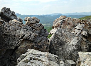
Hike Devil's Marbleyard
5.03.24 mi / 1421 ft gainWant to scale the side of a rock face? If you do, I highly suggest adding this adventure to your list. Hiking to the marbleyard and back to the parking lot will have you at a 3 mile journey. How many hours will it take to hike the trail and tackle Antietam Quartzite boulders larger than cars you ...Read more -
Buchanan, Virginia
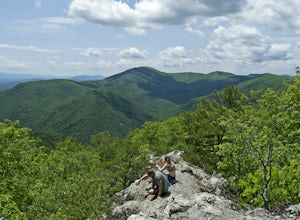
Hike Apple Orchard Mountain
4.04 mi / 400 ft gainThe top of Apple Orchard Mountain is easily accessible via the Appalachian Trail. Access the trail at the Sunset Field Overlook at MP 78.4 on the Blue Ridge Parkway. The concrete path will end shortly and turn into a blue blazed trail. Follow this for 0.25 miles until it intersects the Appalachia...Read more -
Goshen, Virginia
Hike Goshen Pass
4.35.6 mi / 1200 ft gainThe parking for the trailhead is down an unmarked gravel/dirt road about 1.5 miles upriver from the Virginia Wayside rest area on Route 39 West. You'll see the swing bridge out across the river and the road will be immediately after this on your right. The road goes back about 200 yards to the pa...Read more -
Princeton, West Virginia
White Oak Falls via Brush Creek Falls Trail
3.69 mi / 574 ft gainThis is a wonderfully easy hike to White Oak Falls. After visiting Bush Creek Falls, keep walking down the trail. You'll enter the Bush Creek Nature Preserve area. If you visit after heavy rains, please note that your feet will get wet. There are numerous cascades that come down and cross over t...Read more -
Princeton, West Virginia
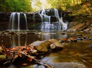
Brush Creek Falls
4.50.5 mi / 75 ft gainBrush Creek Falls is a beautiful 25' waterfall that spans across Brush Creek. It is accessed via a short 0.5 mile hike with minimal elevation gain. From the parking area on Brush Creek Falls Road, take the trail to the right of the picnic shelter. This easy and relatively-flat trail through rhod...Read more -
Rockbridge Baths, Virginia
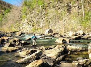
Fly Fish Goshen Pass
5.0The fly fishing on the Maury River is one of a kind through the Goshen Pass. The Pass is littered with huge boulders, which actually makes it possible to fish without waders, although it's much easier and more enjoyable with waders.From Lexington, VA, take Route 39 towards Goshen for approximatel...Read more -
Shawsville, Virginia
Hike to Stiles Falls
4.83 mi / 500 ft gainPark at the Alta Mons camp parking lot, and start walking the gravel road. There will be signs throughout the trail that lead to the waterfall. Continue down the trail for 1.5 miles. Look out for the white trail markers that indicate the Stiles Falls trail. After 1.5 miles, you will reach the wat...Read more -
Ansted, West Virginia
Hike the Hawks Nest Rail Trail
4.33.6 mi / 200 ft gainYou can start walking on this well-graded rail trail either from Ansted or down by the New River at the Hawk's Nest Nature Center. If you start from the top you will lose a couple hundred feet in elevation and have to walk back up to your car (it is an easy walk though). Bikes are also allowed on...Read more -
Ansted, West Virginia
Turkey Creek Falls in Hawks Nest SP
0.99 mi / 26 ft gainPark in the boat ramp lot by Hawks Nest Lake. Note that the road to get down to this parking lot is a one lane (two-way traffic) steep gravel road, but it is passable with low-clearance vehicles. From the parking area take the path towards the Hawks Nest Dam, also labeled the "Fisherman's Trail...Read more

