Australia
Top Spots in and near Australia
-
Halls Gap, Victoria
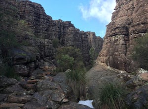
Backpack to Bugiga Hikers Camp
5.010.7 mi / 2755.9 ft gainStarting in the town of Halls Gap, leave your car in the car park indicated on the map. From here, make your way west, away from the town and towards the forest. You will walk past the botanical gardens and wild kangaroos to the start of the trail. At the start of the trailhead, there is a fork. ...Read more -
Patonga, New South Wales
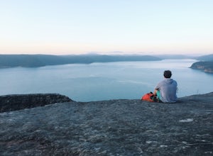
Warrah Lookout
Drink your morning coffee with incredible panoramic views of the Pacific Ocean and Hawkesbury River. Drive to Patonga and from the end of the beach follow the trailhead signs to Pearl Beach. A steep incline for the first 10-15 minutes of the walk will get the legs burning. Once it starts to plate...Read more -
Rottnest Island, Western Australia
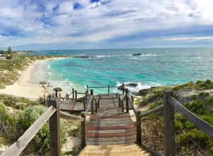
Explore Rottnest Island
5.0Rottnest Island is probably most famous for its adorable Quokka population, but the island also has lots more to explore outside the main settlement. With well-marked walking and biking trails both on the beach, track and road, there of tons of places to see. With trails as long as 40km, you can...Read more -
Yadboro, New South Wales
Hike Pigeonhouse Mountain (Didthul)
5.03.1 mi / 2624.7 ft gainFrom Milton, turn off Princes Highway, following signs marked ‘Pigeon House’ (this will take you along Croobyar Road, Woodstock Road and Yadboro Road). The walk begins in the picnic area off Yadboro Road.Best to walk in dry weather as trail is steep and there are ladders to climb, and the road to...Read more -
Blue Mountains National Park, New South Wales
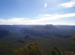
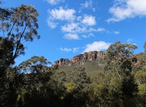
Hike Perry's Lookdown to Govetts Leap Lookout
4.010.8 mi / 3608.9 ft gainStarting at Perry's Lookdown car park, the track takes you to a railed lookout, stop here and take in the magnificent Grose Valley infront of you and the Blue Gum Forest below you. The track descends down and contours around the hill, passing Dockers Lookout, the track is quite steep in places a...Read more -
Herron, Western Australia
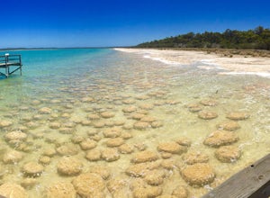
Explore Lake Clifton and the Thrombolites
4.00.4 miThis is one of the lesser known areas that has the conditions to allow thrombolites to thrive - a biofilm on the rocks that shows you what life looked like at the dawn of time billions of years ago.The walk is quite short (600m), but there is another option to take a 5km loop walk along Lake Clif...Read more -
Moollattoo, New South Wales
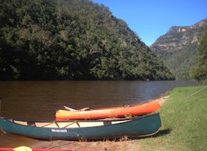
Canoe The Shoalhaven Gorge from the Tallowa Dam
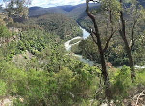
Even though the Shoalhaven Gorge is only about 120km from Sydney, it's a remarkable, rugged and remote adventure for those wanting a unique weekend away. Part of the Morton National Park, The Shoalhaven Gorge features stunning vaulting cliffs and remarkable pockets of rainforest that line the rug...Read more -
Mount Field, Tasmania
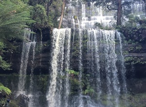
Hike in the Tasmanian Wilderness at Russell Falls
5.00.7 miWithin the Russell Falls area, there are a number of hikes of varying difficulty to choose from, all starting at the main car park of the pristine Mt Field National Park. Please note that there is a fee associated with entry, with a vehicle of up to 8 people costing $24. This is money well spent,...Read more -
Lamb Range, Queensland
Swim at Crystal Cascades Waterfall
5.00.7 mi / 60 ft gainStarting from the Crystal Cascades parking lot at the end of the Redlynch Intake Road follow the paved and well signed path up 1.2 KM to see the beautiful Crystal Cascades Waterfall. Along the path are plenty of spots for lunch and gorgeous opportunities for pictures. If its warm out (which it al...Read more -
Esk, New South Wales
Camp at Black Rocks Campground
3.0This is a great place to explore - the beach is quite large and has some beautiful places to watch the waves or jump in. There are also lots of walks such as the 8km Jerusalem Creek Walk, which you can find instructions for in the link below: http://www.nationalparks.nsw.g... Make sure to book a...Read more -
Tawonga, Victoria
Backpack Mt Bogong
5.017.1 mi / 4219.2 ft gainMt Bogong sits at 1,986m and takes the crown for the highest peak in Victoria and 8th highest in Australia. The views both on the way up and at the top are amazing, especially once you pass the tree line. This hike is not only challenging because of its length and steepness nearing the top, but l...Read more -
Stirling Range National Park, Western Australia
Hike to Mount Talyuberlup
5.01.7 mi / 1312.3 ft gainThe hike starts at the car park on Stirling Range Drive. If you're coming from Chester Pass Road then it's around 15 minutes down the gravel surfaced Sitriling Range Drive. Don't be put off though as the road is in very good condition and any 2 wheel drive will be able to make the trip quite comf...Read more -
Yeagarup, Western Australia
Climb Pemberton's Climbing Trees
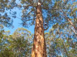
4.3Just outside of the small town of Pemberton in Western Australia are three towering Karri trees that you can climb to to their highest branches. The Karri tree is the third tallest species in the world, just behind the famous Sequoias and Douglas Firs. With the help of bolted pegs that spiral a...Read more -
Iguana Creek, Victoria
Backpack Mitchell River
5.023.6 mi / 4986.9 ft gainThe thing I loved the most about this hike is how isolated it was. It may have been the time of year, but in the spring I saw no one else on the trail for two days, though I did see snakes, monitors, kangaroos, wallabies, wombats, and many birds. Given it was springtime, the forest was full of wi...Read more -
Zumsteins, Victoria
Hike to Fish Falls, Grampians NP
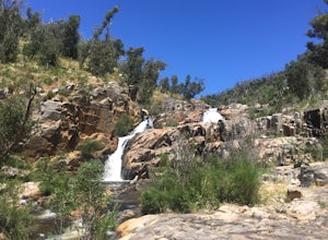
5.02.9 mi / 150 ft gainStart at the Zumsteins Picnic Area Car Park, and follow the signs and track to Fish Falls to the right. You'll follow along the river for about 2.5km before coming up onto Fish Falls. The path is very easy to follow, and has some areas of gradual ascent/descent along the walk. Along the way you'l...Read more -
Wildes Meadow, New South Wales
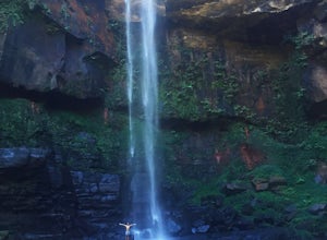
Swim at Belmore Falls
2 mi / 426.5 ft gainBelmore Falls is Plunge Type waterfall with three drops estimated at 77–130 metres. There is secret track that leads you down to the bottom of the water where you will be able to swim underneath the waterfall. Duration of walk to the bottom of the water is 40mins - 1hourRead more

