Australia
Top Spots in and near Australia
-
Uluru, Northern Territory
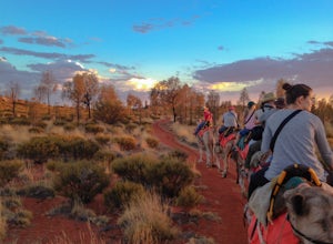
Camel Trek Sunrise at Ayers Rock
While many people see and experience Ayers Rock, few do it in such a manner as camelback. Sunrise at Ayers Rock is particularly fascinating due to the unique colors of the landscape and its subsequent effect on the rock itself. Changing from Red to Orange to even Purple, the changing appearance o...Read more -
Hinchinbrook Island, Queensland
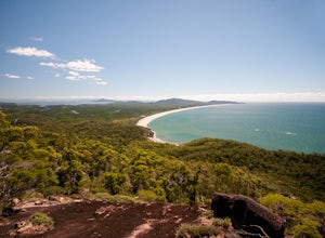
Hike the Thorsborne Trail
19.9 miHere's a chance to get properly "off the grid" in a tropical wilderness. Protected since 1932, Hinchinbrook is one of Australia's largest island national parks, and lies within the Great Barrier Reef World Heritage Area. Hikers on the island are strictly limited to 40 a day, so chances are you wo...Read more -
Naturaliste, Western Australia
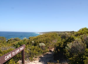
Hike the Cape to Cape Track
83.9 miMore Information: The official website website offers more information of the track. I highly recommend to get the Guidebook (available in every book or outdoor store around the area) which contains detailed maps, where to access or exit the beach, wildlife and vegetation of the trackStart/End: ...Read more -
Devils River, Victoria
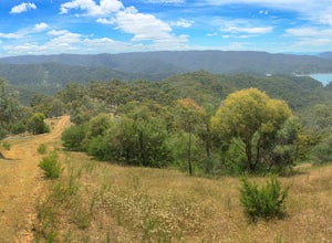
Hike Blowhard Circuit
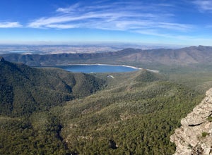
13 mi / 1738.8 ft gainStarting off at the carpark, walk back the way you came about 500m until you reach Merlo's Lookout. Here, you can take in some great views of the lake before you start the summit.From the lookout, there is a trail that leads uphill directly behind you. The trail is well marked and ascends quickly...Read more -
Cape Hillsborough, Queensland
Hike the Andrews Point Trail at Cape Hillsborough
3.2 mi / 328.1 ft gainLocated around 50km from the city of Mackay, Cape Hillsborough National Park offers unspoilt wilderness like no other. Dense rainforest meets secluded beaches and there's a 99% chance you'll see a kangaroo bounding along the coastline.The Andrews Point Trail is one of the most scenic hikes I've e...Read more -
Broken Head, New South Wales
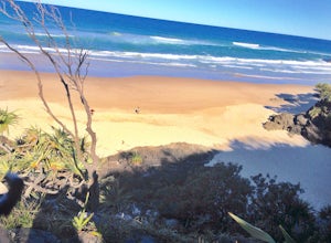
Broken Head Beach
5.0Go straight on broken head road, you will find it there. You first drive up to whites beach, and you will see this very sketchy road, take it, its very narrow just an FYI. There you will drive for about 15-20 minutes. You will see a couple of cars parked on the side of the road along the way, go...Read more -
The Gardens, Tasmania
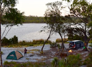
Camp at Bay of Fires, Tasmania
5.0The entire East Coast of Tasmania is amazing. I recommend doing the entire Eastern Drive. Sitting at the northeast corner of Tasmania is the Bay of Fires. There is over 50 kilometers of beautiful coastline with orange rock and white sand beaches, so you'll want to stay a day or 2 to explore the w...Read more -
Booth, Australian Capital Territory
Hike to Brandy Flat Hut
13.7 mi / 1640.4 ft gainDrive south out of Canberra on Tharwa Drive, over the Tharwa bridge on to Naas Road. Follow Naas Road for 11km and then turn left onto Top Naas Road. Travel a further 4km on dirt to the Top Naas Homestead driveway. Starting in the valley (640m) at the Top Naas Homestead driveway, we walked up and...Read more -
Wilsons Promontory, Victoria
Backpack Wilson's Promontory's Northern Circuit
37.3 miMost of the northern section of Wilson's Promontory is designated as a wilderness zone and as such there are vast sections of the park that have only sparse markers to guide the way. There are sections as well where you may need to cross creeks that are as high as 1.5m. Since this is a difficult ...Read more -
Agnes Water, Queensland
Surf Agnes Water
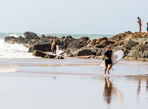
Located between Bundaberg and Gladstone on Queensland's Coast, Agnes Water is one of the best spots to learn how to surf but also a great spot for people of higher surfing skill levels to check out as well! The drive to Agnes Water is a scenic one, winding through a lot of farmland and a view of...Read more -
Flinders Ranges, South Australia
Hike St. Mary Peak
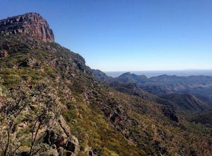
13 mi / 1968.5 ft gainThere are a two major options for reaching the summit of St. Mary Peak, including the opportunity to turn the assault into an overnight trek. The most direct path to the summit consists of a 19km out and back hike via the outside trail, while the longer option involves a 21km partial loop via th...Read more -
Port Arthur, Tasmania
Hike to the Three Capes
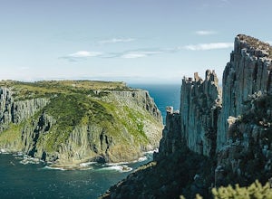
29.8 mi / 1797.9 ft gainOne of the newer but extremely popular hiking spots located on the southeastern coast of Tasmania is the Three Capes Walk. This 48-kilometer track opened only three years ago but it already attracted numerous adventurous travelers who want to experience the beauty of unspoiled natural wonders. Th...Read more -
Bellfield, Victoria
Hike to Mount Rosea
10.6 mi / 2395 ft gainThere are several different ways you can get to Mount Rosea, parking on either side of the Grampians Peaks Trail. As well, you can camp on either side (or create a longer backpacking circuit from Hall's Gap), staying at either Borough Huts or Bugiga Hikers Camp. Starting from Borough Huts, you c...Read more -
Boranup, Western Australia
Relax at Redgate Beach
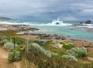
The best times to go are either during a big swell so you can admire the waves crashing against the rocks, a bright sunny day so you can admire the red rocks and beautiful turquoise water, or at sunset where you can admire the sun setting over the Indian Ocean. To be honest, it would be hard to f...Read more -
Glenisla, Victoria
Backpack to The Fortress and Mt Thackeray
4.017.4 mi / 3937 ft gainIn the summer, this hike can be extremely dry, so make sure to bring lots of water. There are some creeks that offer water, but they can be mere trickles at certain times of year (as we found out!). The first day of the hike is 6km. To start, head to the south section of the car park and follow t...Read more -
Bell, New South Wales
Thor's Head, Asgard Swamp.
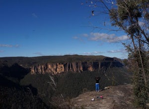
4 mi / 1000.7 ft gainThis track starts with a dirt road turn off of the Great Western Highway onto Victoria Falls Road, note: you will need a four wheel drive or capable car, nothing small. There is a beautiful lookout at the end of this road, but you want to pull over at the sign that says "Thor's Head, Asgard Swamp...Read more

