Oberkrimml, Austria
Looking for the best photography in Oberkrimml? We've got you covered with the top trails, trips, hiking, backpacking, camping and more around Oberkrimml. The detailed guides, photos, and reviews are all submitted by the Outbound community.
Top Photography Spots in and near Oberkrimml
-
Oberkrimml, Austria
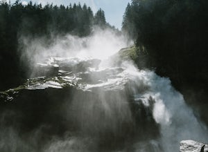
Hike to Krimml Waterfalls
2.6 mi / 1414 ft gainThe Krimml Waterfalls are situated in the Hohe Tauern National Park in the Salzburg region of Austria. At 380m high, they are the highest waterfalls not just of Austria, but in all of Europe. In the village of Krimml, near base of the waterfall you'll find a number of parking areas and the Wasser...Read more -
Kitzbühel, Austria
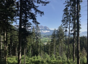
Hike from Kirchberg to Kitzbühel via Seidlalm-See
6 mi / 2034.1 ft gainThe trail begins in Klausen, near Restaurant Schwedenkapelle, with an uphill on gravel through the forest, with the stream to your left. The trail is shaded until you reach an open meadow, approximately 2km into your hike. The trail is well marked with Austrian flags painted on rocks and trees, ...Read more -
Stans, Austria
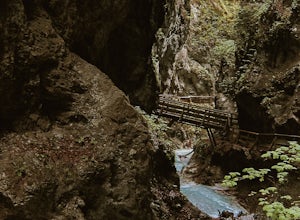
Hike the Wolfsklamm Canyon
3.7 mi / 1148.3 ft gainThe Wolfsklamm is a narrow and rocky canyon just outside the village of Stans in Tirol, just 20 minutes from the city of Innsbruck. There are a few free parking areas in the village with signposts to the start of the trail up the canyon. I've marked the one we used as the trailhead for this hike....Read more -
Schwaz, Austria
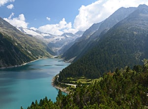
Hike to Olpererhütte in the Austrian Alps
4.04 mi / 1969 ft gainAustria’s Zillertal Valley is a spectacular region of the Alps offering a plethora of hiking options. Locals as well as tourism hosts overwhelmingly recommended Olpererhütte! From Mayrhofen, a public transit bus delivers hikers directly to the trailhead. Mayrhofen is a great village to use as hom...Read more -
Bayrischzell, Germany
Hike the Wendelstein Panorama Trail
6.5 mi / 3543.3 ft gainThis adventure starts from the Munich Hbf. Catch an early morning 1.5 hour BoB ( Bayerische Oberlandbahn) train to Osterhofen (Oberbay.) Get on the train marked Tegernsee, but be careful, the train splits into 3 parts, so make sure you're on the car that goes to Osterhofen. It's usually the last ...Read more -
Innsbruck, Austria
Hike to the Summit of the Patschekofel in Innsbruck
4.5 mi / 951.4 ft gainTake the Patscherkofelbahn cable car up to the top station to start this hike. From the top station of the lift you'll see a trail sign for the "Zirbenweg". For the first part of this hike you're going to follow this almost completely flat trail that hugs the side of the mountain. Stay on this t...Read more -
Braies, Italy
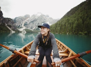
Paddle on Lago di Braies
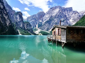
5.0This beautiful alpine lake is often compared to the famous Lake Louise in Alberta, Canada and is an absolute must if you are in the Dolomites region. Lago di Braies is the largest natural lake in the Dolomites and depending on the light, its crystal clear waters can be seen in shades of blue, gr...Read more -
Braies, Italy
Explore Pragser Wildsee
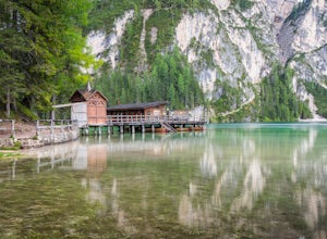
4.02.2 mi / 400 ft gainPragser Wildsee, also known as Lago di Braies, lies in a mostly German-speaking area of northern Italy close to the border with Austria. This glacial blue lake is surrounded by towering mountains and thick evergreen forests, which can be experienced on the 2.2-mile loop trail or Alta Via 1 trail....Read more -
Braies, Italy
Hike and Canoe at Lago Di Braies
4.02.2 miStarting at the Hotel Lago Di Braies, you have the option to loop around the lake to hiker's left or right. To the left is the local dock, while to the right is a chapel and barn. Either way, you will end up where you started no longer than an hour and a half later. Once you are done with the loo...Read more -
Braies, Italy
Hike or Run the Alta Via 1 in the Dolomites
5.093.2 mi / 26250 ft gainThe Alta Via 1 is the definite trail through the Italian Dolomites, showcasing some of the most scenic terrain in all of the Alps. It begins at Lago di Braies and ends in the town Belluno, covering 150 kilometers and over 26,000' of elevation gain.Unlike backpacking or fastpacking in the United S...Read more -
Innsbruck, Austria
Hike Around Each Stop of the Nordkettenbahnen
5.00.5 miThe Nordkettenbahnen starts in the town center area of Innsbruck and takes you first to Alpenzoo and then to an end stop. These first two stops are on a funicular. Once you get to the end of the funicular, you will then transfer to the actual bahn (lift) which will take you up to the Seegrube sto...Read more -
Obernberg am Brenner, Austria
Hike to the Lichtersee Lake
8.6 mi / 2198.2 ft gainPark at the large car park (paid parking) for the main Obernberg lake, but instead of following the trail to the lake, take the road on the right towards Haus Waldbauer. At the end of the paved road, a gravel road bends off to the right. Follow this gravel road as it leads you uphill and back al...Read more -
Neustift im Stubaital, Austria
Hike & Overnight Stay at the Innsbrucker Hütte
13.7 mi / 4511.2 ft gainBecause the Innsbrucker Hütte sits on a ridge between two valleys, it can be reached from two sides; from the Gschnitz Valley or from the Stubai Valley. We chose to take the slightly longer (but less steep) route from the Stubai side. We parked the car in the village of Neder at the gravel parkin...Read more -
Axamer Lizum, Austria
Hike up Hoadl at Axamer Lizum
5 mi / 2739.5 ft gainIf you are looking for somewhere to watch one of the best sunsets in Tirol, then Axamer Lizum might just be that place. Whilst this area is perhaps better known as being a ski resort in winter, it has some of the most picturesque hiking close to the city of Innsbruck, being at the foot of the Kal...Read more -
Auronzo di Cadore, Italy
Tre Cime Di Lavaredo Loop
5.06.27 mi / 1352 ft gainThe famous Italy Dolomites are littered with numerous great hikes to showcase them, however, this trail is the cream of the crop. It will not disappoint. You have the option of hiking up to Rifugio Auronzo from Misurina, which is detailed out here. The other option that makes it easier if you're ...Read more -
Auronzo di Cadore, Italy
Hike to Rifugio Auronzo & The Three Peaks in the Dolomites
8.7 mi / 1935.7 ft gainYou start this easy hike from just before the toll road station on the road up from Misurina to Rifugio Auronzo. As you are looking towards the peaks and the trail starts on the right side of the road. The first part of the route takes you through some forest and across a couple of streams before...Read more

