Alberni-Clayoquot A, British Columbia
Top Spots in and near Alberni-Clayoquot A
-
Neah Bay, Washington
4.6
2.09 mi
/ 528 ft gain
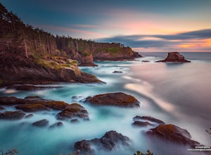
Did you know that Cape Flattery is the northwesternmost point in the continental United States? This is the place where the Straight of Juan de Fuca collides with the Pacific, creating strong currents and loud crashing waves.
This short and accessible hike leads you through a forest to an unfor...
Read more
-
Fanny Bay, British Columbia
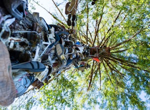
Does your sole need heeling? If you can muster the feet you may just meet Old Mother Hubbard.
To get there take Highway 4 / The Pacific Rim Highway west out of Port Alberni towards Tofino. After the second bridge, take your third right onto Central Lake Road approximately 5.3 miles. The Great Cen...
Read more
-
Fanny Bay, British Columbia
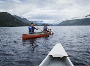
To get the the Della Falls trail head in Strathcona Park, you must cross Great Central Lake. This is a 45 km journey via either canoe, kayak, or speedboat. We chose to canoe, and it took approximately 9 steady hours. We parked our vehicles just on the edge of Central Lake Road across from Great C...
Read more
-
Port Alberni, British Columbia
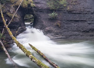
The Hole in The Wall is located just outside the city of Port Alberni, British Columbia. The day hike is easy enough to bring kids on the adventure, is dog friendly and offers a beautiful view of some of Port Alberni's history. Previous to the 1960's, the Hole In The Wall was the opening for a pi...
Read more
-
Tofino, British Columbia
PARKING:
Park in the Radar Hill lot on the west side of the Pacific Rim Highway, 7.3 miles (11.7 km) south of Tofino. Make sure you buy and display a parking pass at the kiosk or you will get a ticket. I have seen it happen.
There is a large sign for Radar Hill so you should not miss it, but if y...
Read more
-
Port Renfrew, British Columbia
The trail requires a permit from May 1 - September 16. All other dates have restrictions. Check Parks Canada website for more details.You can start from the north or south end of the trail. There are buses provided by the Pacific Rim National Park that will shuttle you back to your car or to the ...
Read more
-
Port Renfrew, British Columbia
In the summer of 2016, myself and three others decided to hike the West Coast Trail (WCT) on a bit of a whim! We naively, and courageously, choose the WCT as our first major backpacking hiking trip - we thought it would be best to throw ourselves into a hike that has earned a reputation for being...
Read more
-
Errington, British Columbia
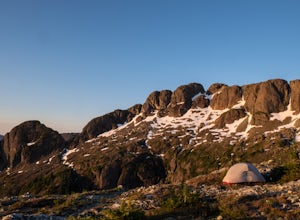
Mount Arrowsmith resides in the heart of Vancouver Island between Nanaimo and Tofino within the Alberni Valley region. At the height of 1817m this peak boasts being the tallest point on the southern half of the island. With it's easy access it is surely the most visited and summited mountain on t...
Read more
-
Port Alberni, British Columbia
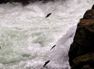
There are many places to see the Salmon making their yearly return to spawning sites. This year while living on Vancouver Island I could not pass on the chance to marvel at this amazing sight. I decided to head to Stamp River to catch the run and was not disappointed, in fact it was so amazing I ...
Read more
-
Port Renfrew, British Columbia
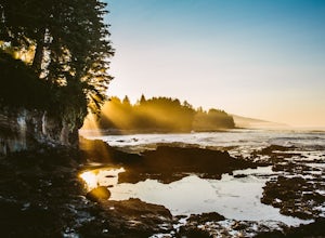
This is a gorgeous beach with so much going on. It's a quick walk from the parking lot (about .8 miles), or you can do the entire Botanical Beach Loop which is 3.5km. Go at low tide for amazing tidal pools and exploring caves if the tide is at its lowest. You can beach hop and climb up to some...
Read more
-
Errington, British Columbia
Mt. Arrowmsith's claim to fame is the tallest mountain on "southern" Vancouver Island. Standing at 1,819 m (6,000 ft), it barely squeezes into the top 50 of the Island, as it stands no chance against the peaks of Strathcona, which you can see gazing north from the summit!The advantage of Arrowsmi...
Read more
-
Tofino, British Columbia
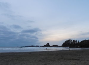
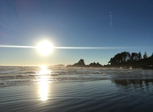
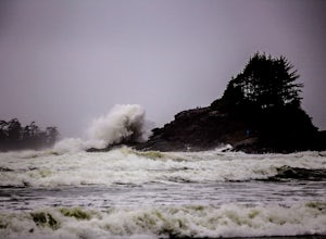
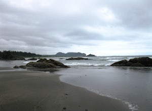
Tofino, British Columbia, is magical. It sits on the most western coast of Canada, on Vancouver Island. It is a small surf town, with natural Pacific Northwest beauty everywhere.....ocean, beaches, forests, islands. and the beautiful Pacific Rim National Park.I personally like surfing Cox Bay bec...
Read more
-
Tofino, British Columbia
Cox Bay is best known for its surf, but for an incredible view with minimal effort, scramble your way through the forested hills on the southern end of beach to let sunset soak in. From the northern end of the beach near the parking lots/access trail, walk 1.5km south until the beach turns into f...
Read more
-
Tofino, British Columbia
You can park at the public beach parking at Cox Bay Beach Resort and make your way out on to the beach. Once you are on the beach, head north until you get to the "Sunset Point" trail sign. The trail walks through the woods for ~100m until you join up with a boardwalk that takes you out to the po...
Read more
-
Nanaimo F, British Columbia
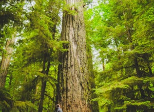
This park is a great stop right on the side of highway 4 heading to or from the Tofino area. If you are heading to Tofino on Vancouver Island, this park is hard to miss. There are signs for it and easy parking on the side of the highway. There are two loop trails on either side of the highway, an...
Read more
-
Neah Bay, Washington
Cape Flattery, the most northwesterly point of the lower contiguous 48 states is accessed via an easy trail which includes many board walks and sets of stairs. Maintained by the Makah Tribe of Indains, the trail provides spectacular views of the Pacific Ocean, Tatoosh Island, nearby rocky cliffs...
Read more

