British Columbia
Looking for the best backpacking in British Columbia? We've got you covered with the top trails, trips, hiking, backpacking, camping and more around British Columbia. The detailed guides, photos, and reviews are all submitted by the Outbound community.
Top Backpacking Spots in and near British Columbia
-
Whistler, British Columbia
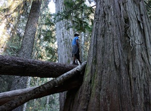
Visit the Ancient Cedars
The Sea to Sky area is covered in old growth forest, but few people would expect to find trees of this size in Whistler. The Ancient Cedars Trail is a beautiful hike through breezy sunny forest to a little hidden grove of giant trees, tucked into the side of Cougar Mountain.If you're looking for ...Read more -
Alberni-Clayoquot C, British Columbia
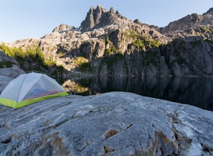
Camp at Lower Lake
4.02.5 mi / 1640.4 ft gainLower Lake is a gorgeous alpine lake located on the Triple Peak Trail. The route to the lake is very steep and scrambling is involved, but is well worth the effort. When you come to the rise above the final ridge, the stunning Triple Peak and Lower Lake come into view.The hike starts down a very ...Read more -
East Kootenay G, British Columbia
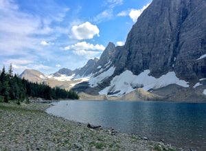
Hike The Floe Lake Trail
13 mi / 2350 ft gainKootenay National Park is one of the lesser visited parks in a chain of spectacular parks in the Canadian Rockies between Banff and Jasper. Straddling the Trans-Canadian Highway, the park offers hot springs, awesome mountain views, and glaciers. As you enter the park, keep an eye out for the griz...Read more -
Ainsworth Hot Springs, British Columbia
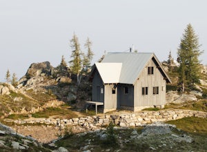
Hike to Silver Spray Cabin
5.0Silver Spray Cabin is a beautiful cabin nestled high in the Alpine of Kokanee Provincial Park - a perfect spot to spend a clear summer night.The hike to the cabin is strenuous - there is no hiding that. 6km of pretty much straight uphill gets you from the valley bottom to the Alpine, where the hu...Read more -
Comox-Strathcona D, British Columbia
Hike to Cream Lake, BC
12.4 mi / 1312.3 ft gainThe hike to Cream Lake starts at the trailhead for the Bedwell Lake trail, which you can find directions to here.From Bedwell Lake the trail to Cream Lake heads Eastward from the campground (past the outhouse), and begins climbing steadily. Shortly you will reach a waterfall with the trail climb...Read more -
Pemberton, British Columbia
Mt. Currie Trail
13 mi / 7867 ft gainMt Currie is the giant mountain that sits above the village of Pemberton BC. It soars 7800 vertical feet from the valley floor to the summit in sheer cliffs. (The mountain itself is 8517ft high.) Before 2014, the only way to reach the summit was to bushwack the entire 7800ft climb (we did this t...Read more -
Field, British Columbia
Backpack Burgess Pass to the Iceline to Takakkaw Falls
5.042.3 miThis hike begins at a trailhead 1.5 km (0.9 mi) from Field, B.C., Canada. When heading west on the Trans Canada Highway towards Field, turn right 1.5 km before Field onto a small dirt road. Immediately turn left and continue driving straight for 500 m (0.3 mi) to a small open area for parking at ...Read more -
East Kootenay G, British Columbia
Backpack the Rockwall Trail
68 mi / 8530 ft gainThe Rockwall trail is a famous 3-5 day trek in Kootenay National Park. We started from the North and camped at Helmet Falls our first night, and then continued south and exited out Floe Lake. I would recommend this direction for a backpack, and the opposite direction for a trail run (it's about ...Read more -
Comox-Strathcona C, British Columbia
Hike Mount Albert Edward
5.019.9 mi / 3280.8 ft gainMount Albert Edward is hard to miss. If you have ever driven up to Mount Washington you will remember the unique profile of this mountain to the west of Raven Lodge. Its long, drawn out scree ridge ends dramatically in a ski jump style peak before falling off into the abyss below. The Grinch hims...Read more -
Comox-Strathcona D, British Columbia
Hike to Baby Bedwell & Bedwell Lake
5.07.5 mi / 2132.5 ft gainDriving: From Campbell River, take Highway 28 West to the bridge over Upper Campbell Lake/Buttle Lake. Do not cross the bridge, but take the road down the East side of Buttle Lake. Follow Buttle Lake road south to Jim Mitchell Lake road which is on the left just after the Thelwood Creek Bridge. ...Read more -
Comox-Strathcona C, British Columbia
Hike Across the Spine of Vancouver Island
21.7 mi / 7217.8 ft gainLet's go on an adventure, shall we?Vancouver Island is 460km/285mi in length and 100km/62mi in width at its widest point, with a coastline covering 3,400km/2,138mi. On the northern end of the Vancouver Island, rugged beaches give way to thick coastal forest. Eventually the land climbs upward be...Read more -
Squamish-Lillooet C, British Columbia
Backpack to Semaphore Lakes
3.1 mi / 1000 ft gainHow does a series of sparkling blue alpine lakes, beautiful mountains, a huge waterfall, glacier and uncrowded camping sound to you? For me, the area around Semaphore Lakes has been one of my favorite destinations for quite a while. It has some of the best camping you could hope for, and two incr...Read more -
Fraser-Fort George F, British Columbia
Hike to Raven Lake
4.56.2 mi / 1476.4 ft gainTo reach the trailhead travel east from Prince George on Highway 16. At 88 km turn right onto Hungary Creek Service Road. Travel 13 km on the main road and turn right at the junction (keep your eye out for the sign). From here there its only 3 km to the parking lot.Right off the start the trail c...Read more -
Whistler, British Columbia
Hike to Helm Lake
4.012.4 mi / 3000 ft gainHelm Lake is a sparkly body of water tucked into one of the most scenic alpine meadows around. The lake sits on a lava field, just under the Black Tusk, with the unique volcanic remains of Cinder Cone and Helm Peak on the opposite side of the meadow.The big draw for this hike is that it's far les...Read more -
Yale, British Columbia
Hike & Swim at Falls Lake, BC
3.0Usually the Coquihalla is a means of a way to get from Point A to Point B, but why drive past all that rugged B.C. beauty? Skip the usual travel rest stops and have a micro adventure while passing through the transition zone between B.C.'s coastal and interior landscapes.The trailhead is 1km (0.6...Read more -
Comox-Strathcona C, British Columbia
Hike to Cruikshank Canyon Lookout
5.012.4 mi / 2854.3 ft gainTravelling through pristine sub-alpine terrain, and past endless crystal clear lakes, the trail to the lookout is loaded with awesome scenery. The icing on the cake is reaching the Canyon and enjoying lunch at the lookout, complete with Whiskey Jacks and 180 degree mountain and valley views. If...Read more

