Britannia Beach, British Columbia
Looking for the best camping in Britannia Beach? We've got you covered with the top trails, trips, hiking, backpacking, camping and more around Britannia Beach. The detailed guides, photos, and reviews are all submitted by the Outbound community.
Top Camping Spots in and near Britannia Beach
-
Squamish-Lillooet D, British Columbia
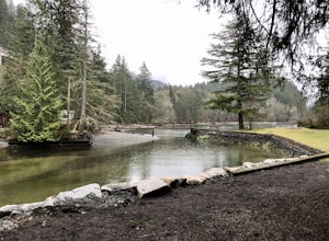
Camp at Porteau Cove Provincial Park
3.0Porteau Cove Provincial Park is located 38 km outside of Vancouver just off the Sea-to-Sky highway between Lion’s Bay and Squamish. The park is open year-round for day visits and camping. Porteau Cove Provincial Park is located in the most southerly fjord in North America. The park overlooks Ho...Read more -
Squamish, British Columbia
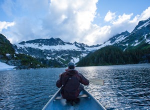
Backpack to Lake Lovely Water
3.76.24 mi / 3714 ft gainThis adventure is one of the best kept secrets in the Whistler area, let alone, British Columbia. The trailhead for Lake Lovely Water is located on the west side of the Squamish River. There is no road access to the trailhead so you need to cross the river via boat. Make reservations with the jet...Read more -
Whistler, British Columbia
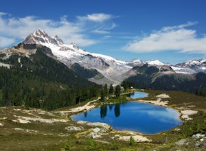
Hike to Elfin Lakes, BC
4.713.7 mi / 1968.5 ft gainTo access the trail head you will have to drive a few kilometres up a pretty beat up service road, so SUV's and 4x4 are a must but it can be done in a regular car if you take it easy. Lots of pot holes and loose rocks.The hike to Elfin Lakes might be 11km each way, but it is not very steep and is...Read more -
Whistler, British Columbia
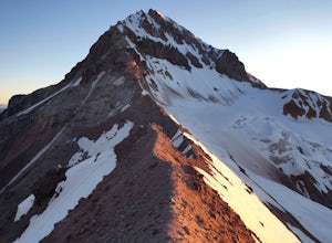
Hike to Little Diamond Head
22 mi / 5900 ft gainGiven the total distance and cumulative elevation gain of this hike, I would suggest a good level of fitness to reach the summit. The trail does not have any technical challenges and the elevation gain is gradual. The final kick up to the summit involves some loose scree and minor exposure depend...Read more -
Whistler, British Columbia
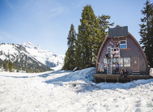
Camp Out at Elfin Lakes Hut
15 mi / 1900 ft gainThe cabin at Elfin Lakes is a beautiful well maintained shelter in the heart of the Garibaldi Provincial Park. It is nuzzled between two lakes (one for drinking water, and the other a swimming hole), and the Gargoyle Peaks. The cabin itself is fully stocked with 8 gas burners, tables, a fireplac...Read more -
Squamish, British Columbia
Camp at Alice Lake Provincial Park
5.0Alice Lake Provincial Park is located just North of Squamish. To get here, exit right off Highway 99 when coming from the South onto Alice Lake Rd. The campground is located under 5 minutes up the road and is first come first serve during low season. From late Spring to Early fall, make sure y...Read more -
Squamish-Lillooet, British Columbia
Climb Mt. Garibaldi
12.5 mi / 4350 ft gainDuration: 2 DaysClosed Gate (described below): 49.831834, -123.088424Camp Ground: 49.855926, -123.016797 Driving north from Vancouver along the Sea to Sky Highway (HWY 99) pass through Squamish. Turn right on to Cat Lake Road (Cheekye FSR).49°48’52.6”N 123°07’25.5”W From here the route becomes ...Read more -
West Vancouver, British Columbia
Hiking the Howe Sound Crest Trail
18 mi / 6000 ft gainDistance: 18 miles / 29 kms.Duration: 1 - 3 DaysElevation Gain: 6000 ft. / 1800 m.Magnesia Meadows: 49.483708, -123.190377The Howe Sound Crest Trail (HSCT) is one of the most epic hiking trips one can do in the Vancouver area. The trail is entirely located within the Cypress Mountain Provincial P...Read more -
North Vancouver, British Columbia
Hike and Camp on Mt. Seymour
From the end of the parking lot next to the BC Parks sign board, walk towards the ski run and follow it uphill to a green sign on the left. The first trail goes to Dog Mountain, another scenic and shorter hike then Mount Seymour. Instead, follow the trail that heads uphill and parallel to the ski...Read more -
Whistler, British Columbia
Summit Black Tusk in Garabaldi Provincial Park
5.019 mi / 5708.7 ft gainThis is a very challenging trail! If you are going to carry in a backpack for an overnight hike, you should have a good level of fitness. For a day hike, the trail is nearly 30km long, so still a good level of fitness is required. The trail isn’t technically challenging, but it is up in the alpin...Read more -
Whistler, British Columbia
Panorama Ridge
4.817.17 mi / 5289 ft gainTake the Sea to Sky Highway (HWY 99) north from Vancouver up towards Whistler. Turn off the highway about 30 minutes before Whistler Village onto Daisy Lake Road. There are signs along the highway indicating the Garibaldi Lake turn off. The trailhead is located at the end of Daisy Lake Road. Ther...Read more -
Whistler, British Columbia
Hike and Camp at Garibaldi Lake
4.6Garibaldi Lake is a huge basin of beautiful turquoise water measuring almost 10 square kilometers (2460 acres), and located at nearly 5000ft above sea level. The lake is over 800 feet deep, filled with pristine glacial water. You’ll be surrounded by big snowy mountains, which remain bright white ...Read more -
Whistler, British Columbia
Explore Garibaldi Park on Snowshoes
Exploring Garibaldi Park by snowshoe is an experience you'll never forget. There is nothing like being in a forest wilderness in the stillness of winter. There are lots of places to snowshoe in the Whistler area, but here are two of the most exciting (yes, snowshoeing can be exciting!) Cheakamus ...Read more -
North Vancouver, British Columbia
Kayak Camp Indian Arm
4.5Setting out from Deep Cove’s pebble shoreline, it only takes a few minutes before you are away from small village and paddling the calm waters of this gorgeous arm. Seals can be frequently spotted as you follow the path of off oceanfront homes, some living off the grid, deeper into the mountains....Read more -
Anmore, British Columbia
Hike Lake Buntzen
4.5Buntzen Lake is located in a beautiful recreation area just north of Port Moody. Although the lake is man-made and maintained by BC Hydro, the surrounding area is full of forests, nice beach areas, and many trails for hiking including the Buntzen Lake Trail, which loops around the lake.Beginning ...Read more -
Anmore, British Columbia
Backpack the Dilly Dally Loop
15.5 mi / 3800 ft gainThis hike begins near the parking lot of Buntzen Lake. The trailhead will read "Halvor Lunden Trail,” named after the man who made it. This part of the trail is well marked, however as you continue along the loop it gets less and less worn, making things more difficult, but also more natural.The ...Read more

