Comox-Strathcona C, British Columbia
Looking for the best hiking in Comox-Strathcona C? We've got you covered with the top trails, trips, hiking, backpacking, camping and more around Comox-Strathcona C. The detailed guides, photos, and reviews are all submitted by the Outbound community.
Top Hiking Spots in and near Comox-Strathcona C
-
Nanaimo F, British Columbia
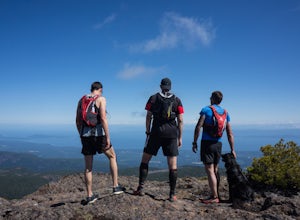
Summit Mt. Cokely via the Historic CPR Trail
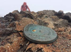
5.012.4 mi / 1000 ft gainThe trail from Cameron Lake to the top of Mount Cokely (5302') provides the most ready access to the alpine on Southern Vancouver Island. The route is straightforward and non-technical, albeit physically challenging. Expect to spend 6-8+ hours if hiking the entire route described below (which we ...Read more -
Nanaimo F, British Columbia
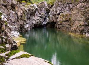
Hike Little Qualicum River and Falls
4.30.6 miLittle Qualicum Falls Provincial Park is just off the #4 highway on your way out to Port Alberni. Simply look for the signs indicating Little Qualicum Falls Provincial Park, and you will turn into the park before Cameron Lake.Easily accessible by everyone, this park can get busy in the summer mon...Read more -
Alberni-Clayoquot C, British Columbia
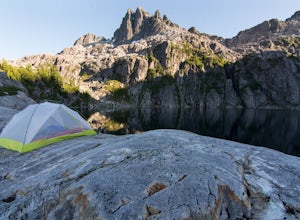
Camp at Lower Lake
4.02.5 mi / 1640.4 ft gainLower Lake is a gorgeous alpine lake located on the Triple Peak Trail. The route to the lake is very steep and scrambling is involved, but is well worth the effort. When you come to the rise above the final ridge, the stunning Triple Peak and Lower Lake come into view.The hike starts down a very ...Read more -
Errington, British Columbia
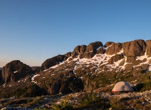
Hike and Camp at Mt. Arrowsmith
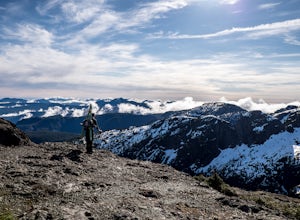
5.0Mt. Arrowmsith's claim to fame is the tallest mountain on "southern" Vancouver Island. Standing at 1,819 m (6,000 ft), it barely squeezes into the top 50 of the Island, as it stands no chance against the peaks of Strathcona, which you can see gazing north from the summit!The advantage of Arrowsmi...Read more -
Powell River, British Columbia
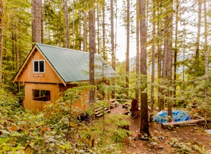
Backcountry Hike and Hut Camp the Northern Portion of the Sunshine Coast Trail
31.1 mi / 3937 ft gainThis adventure is a 50km backcountry hiking and camping trip and should not be attempted without prior backcountry experience. It is recommended you attempt this trail in a group. Below is a detailed description of how to get to the trail and your options for huts while on the trail:The Sunshin...Read more -
Errington, British Columbia
Winter Climbing Mount Arrowsmith
Mount Arrowsmith resides in the heart of Vancouver Island between Nanaimo and Tofino within the Alberni Valley region. At the height of 1817m this peak boasts being the tallest point on the southern half of the island. With it's easy access it is surely the most visited and summited mountain on t...Read more -
Errington, British Columbia
Summit Mount Cokely
3.5The starting point depends a lot on the time of year and snow level. On a bad snow year you can get all the way to the old ski area base. Depending on the road conditions, however, be prepared to snowshoe/skin in anywhere from an extra 3 to 5 km (2-3 mi). The Rousseau Chute route is an alternativ...Read more -
Parksville, British Columbia
Explore Lasqueti Island
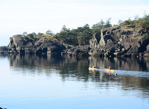
15.5 mi / 754.6 ft gainLasqueti Island is a beautiful island that covers about 75 square kilometres. It is one of the drier islands in the strait, and has some of the warmest waters too. The shores are dotted with arbutus trees, and feral sheep run wild through the woods. The lack of car ferry and direct utilities kee...Read more -
Tofino, British Columbia
Hike Lone Cone
4.1 mi / 2400 ft gainThe trailhead for Lone Cone is located on Meares Island, accessible by water taxi ($40 return). Some choose to rent kayaks and paddle to the trailhead. The dock for the water taxi is located at the end of Main St.49°09’12.8”N 125°54’40.5”WThe water taxi is roughly 15 minutes and travels across th...Read more -
Alberni-Clayoquot C, British Columbia
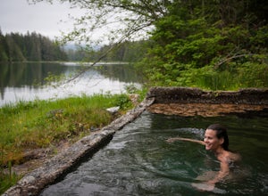
Hike to the Ahousat (Flores Island) Warm Springs
7.5 miA 1-hour boat ride north of Tofino, on the west coast of Vancouver Island, is one of the Clayoquot Sound region’s biggest attractions: Hot Springs Cove in Maquinna Marine Provincial Park. Drawn by the prospect of soaking in 50 C / 122 F natural hot mineral springs surrounded by coastal rainforest...Read more -
Tofino, British Columbia
Hike to Tonquin Beach
5.00.25 miPark at the trailhead, and follow the wooded trail for a short ways. You'll wind through the temperate rainforest, and across wooden walkways before reaching the beach itself. Scramble around on the rocks, or just chill out on the sand and enjoy!Read more -
Ucluelet, British Columbia
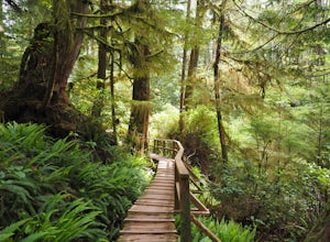
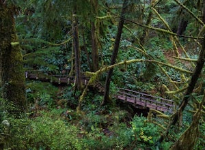
Hike the Rainforest Trails in Clayoquot Sound
5.0For an amazing jungle experience in Clayoquot Sound, the fantastic Rainforest Trails is the place to go. Located in the Pacific Rim National Park, the forest is deep, wet and massive. The wonderful aroma of nature fills your lungs as an incredibly elaborate boardwalk leads you along massive nurs...Read more -
Tofino, British Columbia
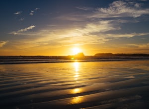
Sunset at Chesterman Beach
5.00.25 miJust minutes from downtown Tofino, Chesterman Beach is a great spot to catch the sunset, go for a run, or just walk down the beach towards Frank Island. The parking lot is just seconds from the beach.Head to the right and scramble on the rocks to find a spot near the point, or walk to the left do...Read more -
Tofino, British Columbia
Explore Tide Pools at Chesterman Beach, Tofino, BC
4.81 mi / 30 ft gainBeyond surfing, skim boarding, biking, and hiking, there are plenty of beaches to comb and coastal tide pools to explore near Tofino BC. The best rocky coastal tide pools are between North Chesterman and South Chesterman beach just 3.6 miles south of the town of Tofino. This area is also known as...Read more -
Alberni-Clayoquot C, British Columbia
Hike to Schooner Cove
2.49 miPark at the well marked parking lot off of the Pacific Rim Highway (4) about 16 kilometres south of Tofino. Start off on a relatively easy two kilometre trail. The scenic hike wanders through lush rainforest before arriving at a spectacular beachfront area. You will pass giant cedars, a number ...Read more -
Tofino, British Columbia
Hike to the Bomber Plane Crash Site in Tofino, BC
4.82.5 mi / 100 ft gainPARKING: Park in the Radar Hill lot on the west side of the Pacific Rim Highway, 7.3 miles (11.7 km) south of Tofino. Make sure you buy and display a parking pass at the kiosk or you will get a ticket. I have seen it happen. There is a large sign for Radar Hill so you should not miss it, but if y...Read more

