Comox-Strathcona C, British Columbia
Top Spots in and near Comox-Strathcona C
-
Comox-Strathcona D, British Columbia
The Elk River Trail is one of the most popular destinations in Strathcona Provincial Park and for good reason. Not only is this one of the only trails in the Park that doesn't go 'straight up' a mountain, but it also takes you to one of the most beautiful spots on all of Vancouver Island. The E...
Read more
-
Alberni-Clayoquot D, British Columbia
4.0
5.6 mi
/ 3149.6 ft gain
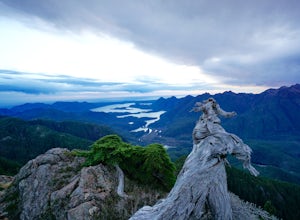
Access to Triple Peak mountain is found via the Marion Creek Main logging road approximately 48km west of Port Alberni on your left hand side along highway #4 headed towards Tofino. The road can present seasonal challenges and is rough so best to have a high clearance and 4x4 capable vehicle if p...
Read more
-
Heriot Bay, British Columbia
Sayward Lakes Canoe Route
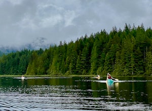
This is an easy canoe route through a series of lakes west of Campbell River on Vancouver Island BC. It is ideal for beginner or intermediate level trippers, providing a good multi-day trip through a mix of remote lakes and lakes with serviced campsites. The trip feature...
Read more
-
Powell River, British Columbia
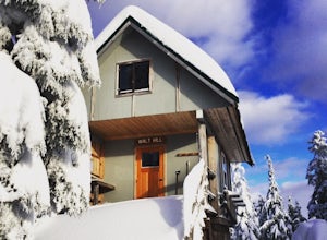
The Sunshine Coast Trail is a 180-kilometre back country experience that encompasses 12 free cabins, 3 of which are winterized. The cabins are run by volunteers from the Powell River Parks and Wilderness Society (PRPAWS).Drive south on Highway 101 to Duck Lake Forest Service Road 3477 Br.1 and he...
Read more
-
Port Alberni, British Columbia
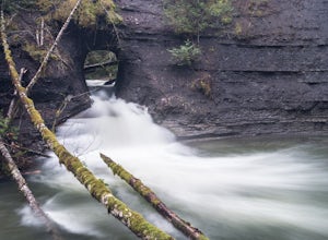
The Hole in The Wall is located just outside the city of Port Alberni, British Columbia. The day hike is easy enough to bring kids on the adventure, is dog friendly and offers a beautiful view of some of Port Alberni's history. Previous to the 1960's, the Hole In The Wall was the opening for a pi...
Read more
-
Alberni-Clayoquot C, British Columbia
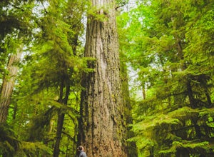
The mountains of the South Central Range of Vancouver Island that skirt Highway 4 leading to Tofino are often overlooked as in that region surfing is the big draw, while the larger peaks of Strathcona Peak call to others. I feel this spot is a true gem of the island, with unparalleled biodiversit...
Read more
-
Nanaimo F, British Columbia
This park is a great stop right on the side of highway 4 heading to or from the Tofino area. If you are heading to Tofino on Vancouver Island, this park is hard to miss. There are signs for it and easy parking on the side of the highway. There are two loop trails on either side of the highway, an...
Read more
-
Refuge Cove, British Columbia
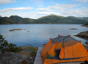
Leave from Okeover Arm just north of Powell River to get into the passage to the park. If you are coming from Vancouver, expect a 6 hour drive with multiple ferry rides.The paddle to the campground is fairly easy for an intermediate kayaker. Distances are about 10km from one camp to the next. Onl...
Read more
-
Alberni-Clayoquot F, British Columbia
I have lived on Vancouver Island my entire life yet I had never heard about this world class trail until last summer. A 24km point to point coastal trail that travels the length of the Alberni Inlet from the coast right to the town? Through paradise meadows, along sun drenched bluffs, past water...
Read more
-
Nanaimo F, British Columbia
5.0
12.4 mi
/ 1000 ft gain
The trail from Cameron Lake to the top of Mount Cokely (5302') provides the most ready access to the alpine on Southern Vancouver Island. The route is straightforward and non-technical, albeit physically challenging. Expect to spend 6-8+ hours if hiking the entire route described below (which we ...
Read more
-
Nanaimo F, British Columbia
Little Qualicum Falls Provincial Park is just off the #4 highway on your way out to Port Alberni. Simply look for the signs indicating Little Qualicum Falls Provincial Park, and you will turn into the park before Cameron Lake.Easily accessible by everyone, this park can get busy in the summer mon...
Read more
-
Alberni-Clayoquot C, British Columbia
4.0
2.5 mi
/ 1640.4 ft gain
Lower Lake is a gorgeous alpine lake located on the Triple Peak Trail. The route to the lake is very steep and scrambling is involved, but is well worth the effort. When you come to the rise above the final ridge, the stunning Triple Peak and Lower Lake come into view.The hike starts down a very ...
Read more
-
Errington, British Columbia
Mt. Arrowmsith's claim to fame is the tallest mountain on "southern" Vancouver Island. Standing at 1,819 m (6,000 ft), it barely squeezes into the top 50 of the Island, as it stands no chance against the peaks of Strathcona, which you can see gazing north from the summit!The advantage of Arrowsmi...
Read more
-
Powell River, British Columbia
This adventure is a 50km backcountry hiking and camping trip and should not be attempted without prior backcountry experience. It is recommended you attempt this trail in a group. Below is a detailed description of how to get to the trail and your options for huts while on the trail:The Sunshin...
Read more
-
Errington, British Columbia
Mount Arrowsmith resides in the heart of Vancouver Island between Nanaimo and Tofino within the Alberni Valley region. At the height of 1817m this peak boasts being the tallest point on the southern half of the island. With it's easy access it is surely the most visited and summited mountain on t...
Read more
-
Errington, British Columbia
The starting point depends a lot on the time of year and snow level. On a bad snow year you can get all the way to the old ski area base. Depending on the road conditions, however, be prepared to snowshoe/skin in anywhere from an extra 3 to 5 km (2-3 mi). The Rousseau Chute route is an alternativ...
Read more

