Edgewater, British Columbia
Top Spots in and near Edgewater
-
Kananaskis, Alberta
4.0
6.8 mi
/ 2427.8 ft gain
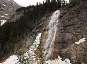
Take Hwy. 40 to Kananaskis Lakes Trail. Continue on this road until you reach a turn off for Upper Kananaskis Lake Day Use Area. This is your trail head. Follow the trail along west side of the lake. After about 1 km you will reach Sarrail Falls. Shortly after crossing the bridge, take the trail ...
Read more
-
Improvement District No. 9, Alberta
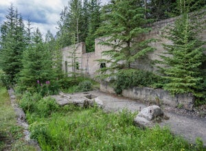
Bankhead is a ghost town which flanks Cascade Mountain and lies just south of Lake Minnewanka in Banff National Park. The main portion of the ghost town is located in Lower Bankhead, which can be reach by traveling North on Range Rd 1158 (closed Nov - Apr), following the signs to Lake Minnewanka....
Read more
-
Kananaskis, Alberta
Park at the Evan Thomas parking lot to and the trailhead is in the south of that parking lot. It follows a well-defined trail up for most of the way before you start gaining elevation. When the trail starts heading south, keep an eye out for a small trail that will keep you heading east. This por...
Read more
-
Kananaskis, Alberta
3.8
12.4 mi
/ 1148.3 ft gain
Ribbon Creek trail is accessible via Highway 40 at the turn off for Nakiska Mountain Resort. From there take a left at Centennial Drive and then a right onto Ribbon Creek Road. The hike begins at the far end of the Ribbon Creek Trailhead parking lot. There is an old coal mining cart at the start...
Read more
-
Kananaskis, Alberta
This hike can be done as a full traverse, starting at the Ribbon Creek Trailhead and taking you to Dead Man's Flats, just off of the Trans Canada Highway. Starting at the trailhead in the Ribbon Creek parking lot, go north on Hidden Trail. You will be on this trail for ~ 200 m before you need to ...
Read more
-
Improvement District No. 9, Alberta
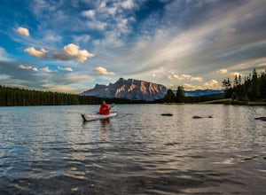
Of all the lakes in the Banff area, this was one of my favorites to get out on the water. Don't expect the bright blue glacial waters of some of the other lakes in the Canadian Rockies, but the water is pristine and it was one of the few places I went where it felt like it was all locals hanging...
Read more
-
Kananaskis, Alberta
History Note: This hike commemorates 13 passengers of three different air crafts that went down in the region in 1986. The first was a passenger plane, and the second two were search and rescue aircraft. There is a plaque at the top of the hike to commemorate the lives that were lost.
Take Hwy...
Read more
-
Kananaskis, Alberta
5.0
8.7 mi
/ 4429.1 ft gain
Mount Allan is a 14 km hike that gains 1400 metres of elevation and was one of my favourite hikes when I first moved to Calgary. On a recent snowshoe, a couple I crossed paths with mentioned they had just done Mount Allan in December, so I knew I had to put it on my winter list!The trail begins a...
Read more
-
East Kootenay E, British Columbia
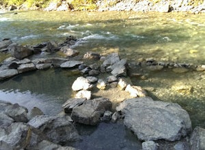
This Hot Spring is found on the Whiteswan Lake Forest Service Road in Whiteswan Lake Provincial Park, and is 35 minutes east of Canal Flats and Highway 93/95. This spot can get a bit busy on the weekends, but is family friendly natural hot spring. Each pool is a different temperature, with the ...
Read more
-
Field, British Columbia
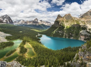
Hidden deep in the Canadian Rockies is Lake O'Hara, a diamond among the rough peaks. Ten minutes drive east of a small town called Field in British Columbia, or sixty minutes west of Banff, Alberta; is a small parking lot where the adventure begins. A $25 return, 30 minute bus ride from there tak...
Read more
-
Field, British Columbia
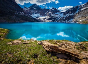
Located in Yoho National Park, Lake O'Hara is said to be the crown jewel of the Canadian Rockies (rightly so!). Callum Snape has described a bit of the process on what it takes to gain access to Lake O'Hara at this post here. Once you arrive at Lake O'Hara, either at the lodge or at the neighbori...
Read more
-
Field, British Columbia
3.0
16.2 mi
/ 1500 ft gain
Built in 1922 with the stones from the pass, the Abbot Pass Hut and has served both as a base for mountaineers and as a destination for strong hikers ever since. Sitting at 2,926 meters' elevation, it is second only to the Neil Colgan Hut on the list of highest permanent structures in Canada. The...
Read more
-
Field, British Columbia
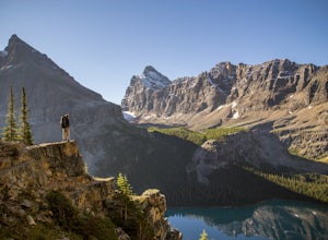
The Lake O’Hara Alpine Circuit is short loop - but it's not for the faint-hearted. We walked Yuckness Ledges, which is a trail under a large cliff with incredible views over Lake O'Hara and the rest of Yoho National Park. The trail starts from the Lake O’Hara outlet bridge across from the Le Rela...
Read more
-
Field, British Columbia
Beginning at Lake O'Hara, head counter-clockwise around the lake - you'll get distracted by the reflections in the water if the water is calm enough, that's ok. You'll want to take the Opabin East route, but Opabin West will work too. Just remember to get on the east side at some point in time!Th...
Read more
-
Field, British Columbia
1.0
3.7 mi
/ 1310 ft gain
Views in the Lake O'Hara area are unique from the “sea of mountains” look that defines many excellent weekend hikes in the Rockies. With Odoray, Yukness, Huber, Wiwaxy, Schaffer, Biddle, and Lefroy in such close proximity to each other, it is easy to imagine you are in Pakistan, Nepal, or Argenti...
Read more
-
Field, British Columbia
First things first: prior to August 15, there are only 4 groups of people allowed in this area per day, and after August 15, only 2 groups are allowed in. Start early!Starting at Lake O'Hara, head towards the Elizabeth Parker ACC Hut. Continue past the hut and meander through meadows and forests....
Read more

