British Columbia
Looking for the best photography in British Columbia? We've got you covered with the top trails, trips, hiking, backpacking, camping and more around British Columbia. The detailed guides, photos, and reviews are all submitted by the Outbound community.
Top Photography Spots in and near British Columbia
-
East Kootenay G, British Columbia
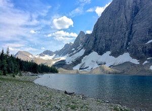
Hike The Floe Lake Trail
13 mi / 2350 ft gainKootenay National Park is one of the lesser visited parks in a chain of spectacular parks in the Canadian Rockies between Banff and Jasper. Straddling the Trans-Canadian Highway, the park offers hot springs, awesome mountain views, and glaciers. As you enter the park, keep an eye out for the griz...Read more -
Comox-Strathcona D, British Columbia
Hike to Landslide Lake
15.89 mi / 2769 ft gainThe Elk River Trail is one of the most popular destinations in Strathcona Provincial Park and for good reason. Not only is this one of the only trails in the Park that doesn't go 'straight up' a mountain, but it also takes you to one of the most beautiful spots on all of Vancouver Island. The E...Read more -
Whistler, British Columbia
Camp at Cal-Cheak
4.7Where the beautiful Callaghan and Cheakamus Rivers converge, there is a great campsite aptly named after these two turquoise rivers. This is a quiet area, shaded by huge stands of West Coast forest, and easily accessible from HWY 99, about 20 minutes south of Whistler Village.Hiking and mountain ...Read more -
Ainsworth Hot Springs, British Columbia
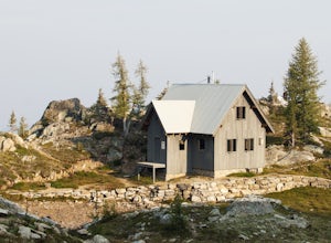
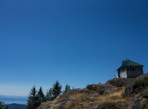
Hike to Silver Spray Cabin
5.0Silver Spray Cabin is a beautiful cabin nestled high in the Alpine of Kokanee Provincial Park - a perfect spot to spend a clear summer night.The hike to the cabin is strenuous - there is no hiding that. 6km of pretty much straight uphill gets you from the valley bottom to the Alpine, where the hu...Read more -
Comox-Strathcona D, British Columbia
Hike to Cream Lake, BC
12.4 mi / 1312.3 ft gainThe hike to Cream Lake starts at the trailhead for the Bedwell Lake trail, which you can find directions to here.From Bedwell Lake the trail to Cream Lake heads Eastward from the campground (past the outhouse), and begins climbing steadily. Shortly you will reach a waterfall with the trail climb...Read more -
Alberni-Clayoquot C, British Columbia
Hike to Schooner Cove
2.49 miPark at the well marked parking lot off of the Pacific Rim Highway (4) about 16 kilometres south of Tofino. Start off on a relatively easy two kilometre trail. The scenic hike wanders through lush rainforest before arriving at a spectacular beachfront area. You will pass giant cedars, a number ...Read more -
Fanny Bay, British Columbia
Rosewall Creek Falls
4.33.84 mi / 515 ft gainStarting at the Rosewall Creek Provincial Park parking lot you take the trail upstream of the creek passing under the inland island highway bridge. This trail eventually leads out of the provincial park boundary, but don't worry you haven't gone too far. It is about a 7 km roundtrip hike and the...Read more -
Field, British Columbia
Backpack Burgess Pass to the Iceline to Takakkaw Falls
5.042.3 miThis hike begins at a trailhead 1.5 km (0.9 mi) from Field, B.C., Canada. When heading west on the Trans Canada Highway towards Field, turn right 1.5 km before Field onto a small dirt road. Immediately turn left and continue driving straight for 500 m (0.3 mi) to a small open area for parking at ...Read more -
Fraser-Fort George G, British Columbia
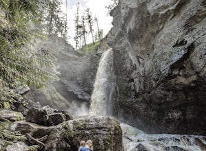
Hike to War Falls
4.80.51 mi / 233 ft gainThe hike down to the main waterfall (War Falls) is a short one, and it's downhill most of the way. War Falls trail skirts along the McLeod River, which flows from War Lake. There are a couple of viewpoints along the trail to take in the smaller waterfalls along the river. The end of the trail get...Read more -
Hope, British Columbia
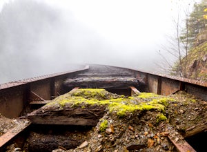
Explore the Ladner Creek Trestle
0.6 mi / 656.2 ft gainLocated just off the Coquihalla Hwy about 30km east of Hope, BC is Ladner Creek. Use the Portia Exit #202 if you are coming from the West to do a u-turn just after crossing over the creek.Coming back from the East, you want to pull off the highway immediately before crossing the bridge. After e...Read more -
Kelowna, British Columbia
Hike to Crawford Falls
4.02.5 mi / 200 ft gainPark in the cul-de-sac at Canyon Falls Court - Make sure you park in a spot you are allowed to park in, and don't block any driveways! Hike out to the sign for crawford falls, and head down into the canyon. Once you hit the creek, turn left and walk up along the creek towards the falls. You will ...Read more -
Sooke, British Columbia
Hike Mount Manuel Quimper
The Sooke Hills is a geographic region of low hills with elevations between 350m (Mt. Wells) to a high of 682m (Mt. Empress), located in the area bounded on three sides by Highway 1 to the east, Highway 14 to the south and the Sooke River to the west. Though heavily logged 100+ years ago, in the ...Read more -
Tofino, British Columbia
Watch the Sunset Overlooking Cox Bay
5.01.9 miCox Bay is best known for its surf, but for an incredible view with minimal effort, scramble your way through the forested hills on the southern end of beach to let sunset soak in. From the northern end of the beach near the parking lots/access trail, walk 1.5km south until the beach turns into f...Read more -
Fraser-Fort George H, British Columbia
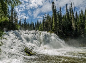
Hike to Overlander Falls
4.50.6 mi / 150 ft gainOnce you get to the pull out and head down the trail it is a 500m downhill walk to the lookout point of Overlander Falls. The waterfall is 10m (33ft) tall and 30m (98ft) wide. On a clear day you can see tall mountains around you and if you look down stream away from the falls it is just as beauti...Read more -
Whistler, British Columbia
Hike to Rainbow Lake
5.09.9 mi / 2788.7 ft gainWith a low elevation to start you'll be greeted with a mossy canopy of luscious wilderness. As you venture deeper through the trail you can notice the wilderness progress to a sub-alpine climate and here you'll be pleasantly surprised by snow tipped pines & surroundings. The Rainbow Trail is ...Read more -
Duncan, British Columbia
Hike Mount Prevost
3.06.5 mi / 2473.8 ft gainMt Prevost is a local favourite for hikers, mountain bikers and if you can believe even hang gliders. Most people know it for the large war memorial tower that is perched on the cliff edge, standing guard over the valley below.The big draw of Mt Prevost is easy access to a significant distance an...Read more

